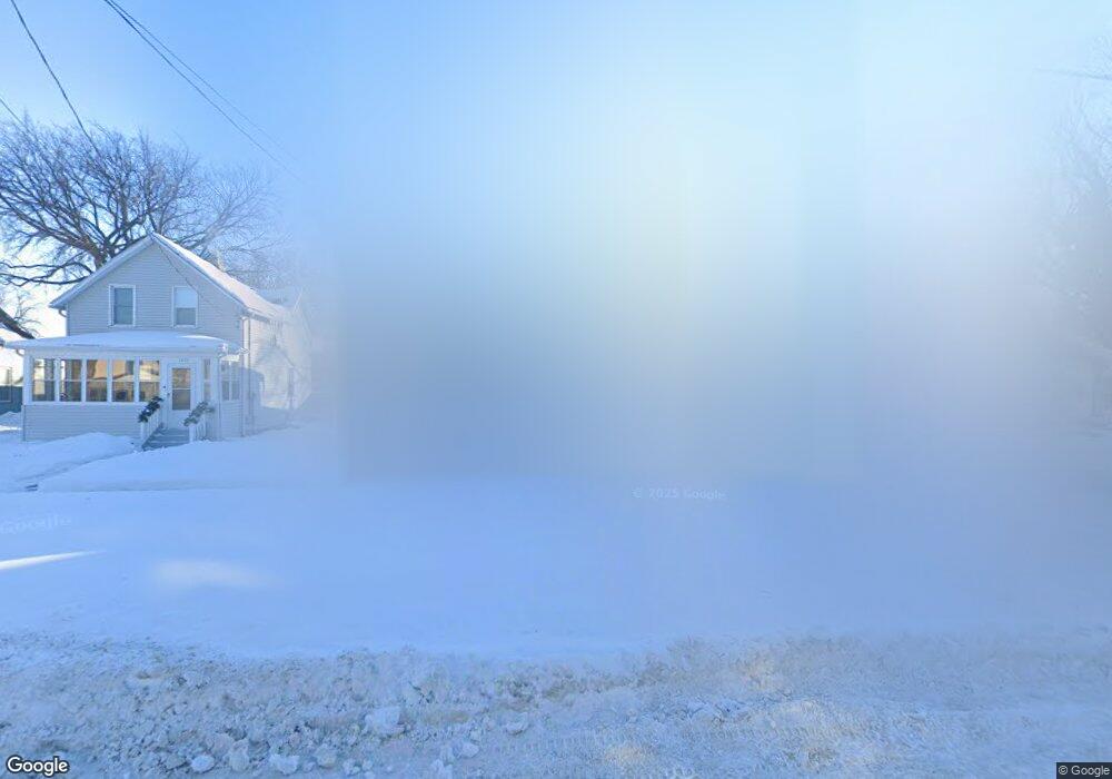
1340 7th Ave S Fargo, ND 58103
Jefferson-Carl NeighborhoodEstimated Value: $221,000 - $232,000
3
Beds
3
Baths
1,870
Sq Ft
$121/Sq Ft
Est. Value
About This Home
This home is located at 1340 7th Ave S, Fargo, ND 58103 and is currently estimated at $225,637, approximately $120 per square foot. 1340 7th Ave S is a home located in Cass County with nearby schools including Jefferson Elementary School, Carl Ben Eielson Middle School, and South High School.
Ownership History
Date
Name
Owned For
Owner Type
Purchase Details
Closed on
Sep 17, 2018
Sold by
Morin Patricia and Morin Ramon
Bought by
Stonestreet Caitlyn C and Stonestreet Adam
Current Estimated Value
Home Financials for this Owner
Home Financials are based on the most recent Mortgage that was taken out on this home.
Original Mortgage
$169,750
Outstanding Balance
$147,727
Interest Rate
4.5%
Mortgage Type
New Conventional
Estimated Equity
$77,910
Purchase Details
Closed on
Jul 11, 2008
Sold by
Barnhardt Benjamin J and Barmhardt Monique J
Bought by
Morin Patricia and Morin Ramon
Home Financials for this Owner
Home Financials are based on the most recent Mortgage that was taken out on this home.
Original Mortgage
$128,385
Interest Rate
6.1%
Mortgage Type
FHA
Create a Home Valuation Report for This Property
The Home Valuation Report is an in-depth analysis detailing your home's value as well as a comparison with similar homes in the area
Home Values in the Area
Average Home Value in this Area
Purchase History
| Date | Buyer | Sale Price | Title Company |
|---|---|---|---|
| Stonestreet Caitlyn C | $175,000 | Regency Title Fargo | |
| Morin Patricia | -- | -- |
Source: Public Records
Mortgage History
| Date | Status | Borrower | Loan Amount |
|---|---|---|---|
| Open | Stonestreet Caitlyn C | $169,750 | |
| Previous Owner | Morin Patricia | $128,385 |
Source: Public Records
Tax History Compared to Growth
Tax History
| Year | Tax Paid | Tax Assessment Tax Assessment Total Assessment is a certain percentage of the fair market value that is determined by local assessors to be the total taxable value of land and additions on the property. | Land | Improvement |
|---|---|---|---|---|
| 2024 | $2,995 | $97,800 | $20,050 | $77,750 |
| 2023 | $2,881 | $94,050 | $20,050 | $74,000 |
| 2022 | $2,826 | $90,450 | $20,050 | $70,400 |
| 2021 | $2,781 | $90,450 | $20,050 | $70,400 |
| 2020 | $2,708 | $88,300 | $20,050 | $68,250 |
| 2019 | $2,343 | $73,950 | $11,900 | $62,050 |
| 2018 | $2,292 | $73,950 | $11,900 | $62,050 |
| 2017 | $2,272 | $73,950 | $11,900 | $62,050 |
| 2016 | $2,041 | $71,800 | $11,900 | $59,900 |
| 2015 | $2,187 | $73,150 | $8,150 | $65,000 |
| 2014 | $2,063 | $66,500 | $8,150 | $58,350 |
| 2013 | $1,972 | $63,350 | $8,150 | $55,200 |
Source: Public Records
Map
Nearby Homes
- 1118 8th Ave S
- 1419 5th Ave S
- 1124 5th Ave S
- 910 University Dr S
- 1517 9th Ave S
- 1414 10th Ave S
- 1425 4th Ave S
- 601 10th St S
- 1020 9th Ave S
- 513 10th St S
- 1121 4th Ave S
- 1418 11th Ave S
- 820 10th St S Unit C20
- 1112 University Dr S
- 1529 4th Ave S
- 1024 3rd Ave S
- 1124 University Dr S
- 1117 3rd Ave S
- 1418 12th Ave S
- 1208 University Dr S