Estimated Value: $145,787 - $273,000
3
Beds
2
Baths
1,598
Sq Ft
$144/Sq Ft
Est. Value
About This Home
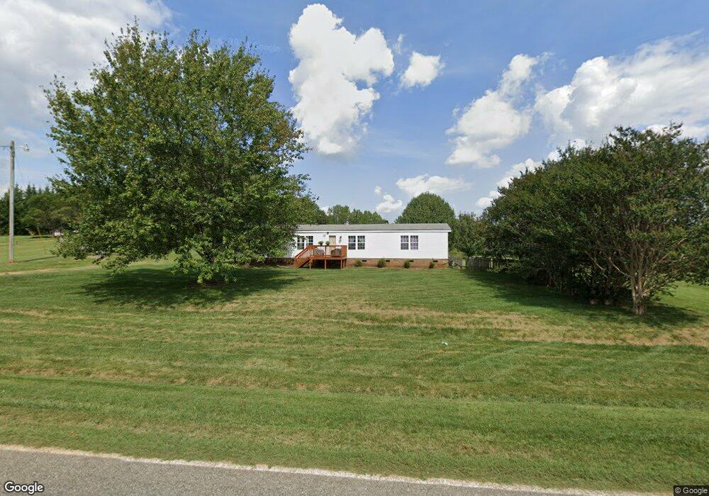
This home is located at 1340 Alf Hoover Rd, Vale, NC 28168 and is currently estimated at $229,697, approximately $143 per square foot. 1340 Alf Hoover Rd is a home located in Lincoln County with nearby schools including Union Elementary School, West Lincoln Middle, and West Lincoln High School.
Ownership History
Date
Name
Owned For
Owner Type
Purchase Details
Closed on
Oct 11, 2010
Sold by
Federal Home Loan Mortgage Corporation
Bought by
Rikard Ashley
Current Estimated Value
Home Financials for this Owner
Home Financials are based on the most recent Mortgage that was taken out on this home.
Original Mortgage
$61,208
Interest Rate
4.42%
Mortgage Type
FHA
Purchase Details
Closed on
Jun 23, 2010
Sold by
Hunt Scott C and Hunt Teresa L
Bought by
Federal Home Loan Mortgage Corporation
Purchase Details
Closed on
Oct 19, 2001
Bought by
Hunt Scott C and Hunt Teresa L
Purchase Details
Closed on
Apr 19, 2001
Bought by
Miller Gary D and Ashely Moretz
Create a Home Valuation Report for This Property
The Home Valuation Report is an in-depth analysis detailing your home's value as well as a comparison with similar homes in the area
Home Values in the Area
Average Home Value in this Area
Purchase History
| Date | Buyer | Sale Price | Title Company |
|---|---|---|---|
| Rikard Ashley | -- | None Available | |
| Federal Home Loan Mortgage Corporation | $71,000 | None Available | |
| Hunt Scott C | $42,000 | -- | |
| Miller Gary D | $47,400 | -- |
Source: Public Records
Mortgage History
| Date | Status | Borrower | Loan Amount |
|---|---|---|---|
| Previous Owner | Rikard Ashley | $61,208 |
Source: Public Records
Tax History Compared to Growth
Tax History
| Year | Tax Paid | Tax Assessment Tax Assessment Total Assessment is a certain percentage of the fair market value that is determined by local assessors to be the total taxable value of land and additions on the property. | Land | Improvement |
|---|---|---|---|---|
| 2025 | $1,160 | $163,526 | $50,806 | $112,720 |
| 2024 | $1,140 | $163,526 | $50,806 | $112,720 |
| 2023 | $1,135 | $163,526 | $50,806 | $112,720 |
| 2022 | $862 | $100,459 | $42,022 | $58,437 |
| 2021 | $850 | $98,838 | $42,022 | $56,816 |
| 2020 | $716 | $98,838 | $42,022 | $56,816 |
| 2019 | $716 | $98,838 | $42,022 | $56,816 |
| 2018 | $762 | $89,848 | $40,522 | $49,326 |
| 2017 | $661 | $89,848 | $40,522 | $49,326 |
| 2016 | $630 | $89,848 | $40,522 | $49,326 |
| 2015 | $703 | $89,848 | $40,522 | $49,326 |
| 2014 | $903 | $121,895 | $55,580 | $66,315 |
Source: Public Records
Map
Nearby Homes
- 1551 J Rhyne Reep Rd
- 4318 Katie Reep Ln
- 1983 Seagletown Rd
- 1643 Flag Ln
- 000 Flag Ln Unit 53
- 3817 Spike Ln
- 3637 Reepsville Rd
- 3300 Paul Heavner Ln
- 5298 Hoover Elmore Rd
- 142 Alf Hoover Rd
- 00 Wilson Ct Unit 15
- 00 Wilson Ct Unit 13
- 00 Wilson Ct Unit 12
- 3987 W Highway 27
- 5384 Reepsville Rd
- 3579 June Bug Rd
- 2614 Reepsville Rd
- 4773 Westwinds Rd
- 1259 Haywood Ct
- 2508 Rock Dam Rd
- 1341 Alf Hoover Rd
- 1331 Alf Hoover Rd
- 1350 Alf Hoover Rd
- 1359 Alf Hoover Rd
- Lot 1 Alf Hoover Rd
- 1370 Alf Hoover Rd
- 1303 Alf Hoover Rd
- 1308 Alf Hoover Rd
- 1383 Alf Hoover Rd
- 1288 Alf Hoover Rd
- 1401 Alf Hoover Rd
- 1281 Alf Hoover Rd
- 1270 Alf Hoover Rd
- 1426 Alf Hoover Rd
- - Alf Hoover Rd
- 1570 J Rhyne Reep Rd
- Lot 7 Alf Hoover Rd
- 1250 Alf Hoover Rd
- 1228 Alf Hoover Rd
- 4117 Reepsville Rd