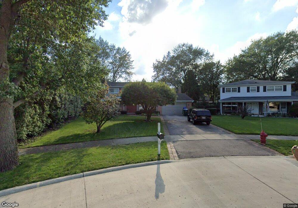
1340 Brookside Ln Northbrook, IL 60062
Estimated Value: $782,000 - $977,000
5
Beds
3
Baths
2,527
Sq Ft
$346/Sq Ft
Est. Value
About This Home
This home is located at 1340 Brookside Ln, Northbrook, IL 60062 and is currently estimated at $874,221, approximately $345 per square foot. 1340 Brookside Ln is a home located in Cook County with nearby schools including Westmoor Elementary School, Northbrook Junior High School, and Glenbrook North High School.
Ownership History
Date
Name
Owned For
Owner Type
Purchase Details
Closed on
Jul 14, 2006
Sold by
Tebbetts William A and Michelsen Linda J
Bought by
Knych Fredrick and Knych Lisa L
Current Estimated Value
Home Financials for this Owner
Home Financials are based on the most recent Mortgage that was taken out on this home.
Original Mortgage
$200,000
Outstanding Balance
$117,371
Interest Rate
6.73%
Mortgage Type
Unknown
Estimated Equity
$756,850
Purchase Details
Closed on
Sep 7, 2000
Sold by
Tebbetts William A
Bought by
Tebbetts William A and Michelsen Linda J
Purchase Details
Closed on
Nov 14, 1996
Sold by
The Northern Trust Company
Bought by
Tebbetts William A
Create a Home Valuation Report for This Property
The Home Valuation Report is an in-depth analysis detailing your home's value as well as a comparison with similar homes in the area
Home Values in the Area
Average Home Value in this Area
Purchase History
| Date | Buyer | Sale Price | Title Company |
|---|---|---|---|
| Knych Fredrick | $649,000 | Fort Dearborn Land Title | |
| Tebbetts William A | -- | -- | |
| Tebbetts William A | -- | -- |
Source: Public Records
Mortgage History
| Date | Status | Borrower | Loan Amount |
|---|---|---|---|
| Open | Knych Fredrick | $200,000 |
Source: Public Records
Tax History
| Year | Tax Paid | Tax Assessment Tax Assessment Total Assessment is a certain percentage of the fair market value that is determined by local assessors to be the total taxable value of land and additions on the property. | Land | Improvement |
|---|---|---|---|---|
| 2025 | $13,944 | $84,001 | $15,884 | $68,117 |
| 2024 | $13,944 | $64,353 | $15,884 | $48,469 |
| 2023 | $15,086 | $64,353 | $15,884 | $48,469 |
| 2022 | $15,086 | $71,504 | $15,884 | $55,620 |
| 2021 | $10,996 | $47,344 | $13,765 | $33,579 |
| 2020 | $10,831 | $47,344 | $13,765 | $33,579 |
| 2019 | $11,963 | $58,733 | $13,765 | $44,968 |
| 2018 | $10,362 | $47,681 | $12,177 | $35,504 |
| 2017 | $10,107 | $47,681 | $12,177 | $35,504 |
| 2016 | $9,694 | $47,681 | $12,177 | $35,504 |
| 2015 | $10,065 | $45,108 | $10,059 | $35,049 |
| 2014 | $9,627 | $45,108 | $10,059 | $35,049 |
| 2013 | $9,317 | $45,108 | $10,059 | $35,049 |
Source: Public Records
Map
Nearby Homes
- 2419 Center Ave
- 2444 Oak Ave
- 1331 Pfingsten Rd
- 1341 Pfingsten Rd
- 2335 Maple Ave
- 2700 Crabtree Ln
- 2506 Peachtree Ln
- 847 Division St
- 2117 Illinois Rd
- 818 Bach St
- 2348 Ash Ln
- 1041 Cedar Ln
- 1021 Cedar Ln
- 3075 Keystone Rd
- 1943 Sunnyside Cir
- 3085 Pheasant Creek Dr Unit 212
- 3030 Pheasant Creek Dr Unit 405
- 3030 Pheasant Creek Dr Unit 102
- 6 the Court of Lagoon View
- 3070 Pheasant Creek Dr Unit 207
- 1330 Brookside Ln
- 1350 Brookside Ln
- 1323 Crestwood Dr
- 1315 Crestwood Dr
- 1320 Brookside Ln
- 1360 Brookside Ln
- 1331 Crestwood Dr
- 1307 Crestwood Dr
- 1310 Brookside Ln
- 1339 Crestwood Dr
- 1301 Crestwood Dr
- 1300 Brookside Ln
- 2528 Walters Ave
- 1370 Brookside Ln
- 2532 Walters Ave
- 1331 Brookside Ln
- 1321 Brookside Ln
- 1341 Brookside Ln
- 2550 Walters Ave
- 2525 Partridge Ln
Your Personal Tour Guide
Ask me questions while you tour the home.