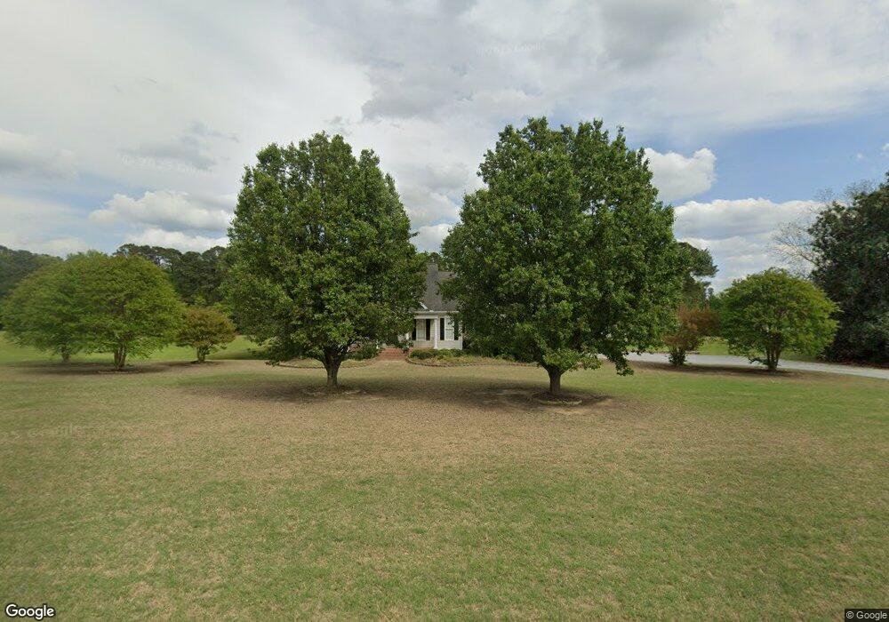
1340 Old Drug Store Rd Garner, NC 27529
Cleveland NeighborhoodEstimated Value: $385,000 - $622,000
3
Beds
5
Baths
3,496
Sq Ft
$155/Sq Ft
Est. Value
About This Home
This home is located at 1340 Old Drug Store Rd, Garner, NC 27529 and is currently estimated at $541,746, approximately $154 per square foot. 1340 Old Drug Store Rd is a home located in Johnston County with nearby schools including West View Elementary School, Cleveland Middle School, and West Johnston High School.
Ownership History
Date
Name
Owned For
Owner Type
Purchase Details
Closed on
Jun 11, 2013
Sold by
Adams Beverly B
Bought by
Adams Donald C
Current Estimated Value
Purchase Details
Closed on
Nov 19, 2001
Sold by
Adams Donald C
Bought by
Adams Donald C
Purchase Details
Closed on
Sep 12, 2001
Sold by
Adams Donald C
Bought by
Adams 1344, Llc
Create a Home Valuation Report for This Property
The Home Valuation Report is an in-depth analysis detailing your home's value as well as a comparison with similar homes in the area
Home Values in the Area
Average Home Value in this Area
Purchase History
| Date | Buyer | Sale Price | Title Company |
|---|---|---|---|
| Adams Donald C | -- | None Available | |
| Adams Donald C | -- | -- | |
| Adams 1344, Llc | -- | -- |
Source: Public Records
Tax History Compared to Growth
Tax History
| Year | Tax Paid | Tax Assessment Tax Assessment Total Assessment is a certain percentage of the fair market value that is determined by local assessors to be the total taxable value of land and additions on the property. | Land | Improvement |
|---|---|---|---|---|
| 2025 | $3,941 | $620,600 | $113,200 | $507,400 |
| 2024 | $3,052 | $376,740 | $60,370 | $316,370 |
| 2023 | $2,948 | $376,740 | $60,370 | $316,370 |
| 2022 | $3,099 | $376,740 | $60,370 | $316,370 |
| 2021 | $3,099 | $376,740 | $60,370 | $316,370 |
| 2020 | $3,136 | $376,740 | $60,370 | $316,370 |
| 2019 | $3,136 | $376,740 | $60,370 | $316,370 |
| 2018 | $2,655 | $311,440 | $42,260 | $269,180 |
| 2017 | $2,655 | $311,440 | $42,260 | $269,180 |
| 2016 | $2,169 | $254,380 | $42,260 | $212,120 |
| 2015 | $2,062 | $241,880 | $42,260 | $199,620 |
| 2014 | $2,062 | $241,880 | $42,260 | $199,620 |
Source: Public Records
Map
Nearby Homes
- 146 Shadowbark Dr
- 58 Larkwood Ln
- 39 Beau Dr
- 36 Labradoodle Ct
- 325 Airedale Trail
- 413 Fieldtrial Cir
- 394 Airedale Trail
- 1152 Black Angus Dr
- 75 Fawn Hill Ct
- 1092 Adams Point Dr
- 115 Unique Place
- 181 Fawn Hill Ct
- 165 Rynal Dr
- 1037 Olive Dr
- 42 Miry Branch Ct
- Roanoke Plan at Brant Station
- Fontana Plan at Brant Station
- Avenel II Plan at Brant Station
- 111 Artic Cir
- 51 Makers Way
- 1340 Old Drug Store Rd
- 528 Adams Point Dr
- 516 Adams Point Dr
- 528 Adams Point Dr
- 540 Adams Point Dr
- 552 Adams Point Dr
- 506 Adams Point Dr
- 564 Adams Point Dr
- 1200 Old Drug Store Rd
- 574 Adams Point Dr
- 145 Leachburg Dr
- 141 Leachburg Dr
- 141 Leachburg Dr Unit L19
- 494 Adams Point Dr
- 137 Leachburg Dr
- 137 Leachburg Dr Unit L18
- 586 Adams Point Dr
- 541 Adams Point Dr
- 551 Adams Point Dr
- 529 Adams Point Dr