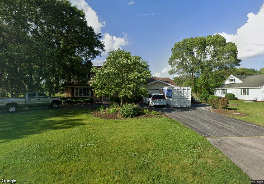
13400 Commons Dr Brookfield, WI 53005
Estimated Value: $610,000 - $691,000
4
Beds
4
Baths
2,401
Sq Ft
$268/Sq Ft
Est. Value
About This Home
This home is located at 13400 Commons Dr, Brookfield, WI 53005 and is currently estimated at $643,308, approximately $267 per square foot. 13400 Commons Dr is a home located in Waukesha County with nearby schools including Dixon Elementary School, Pilgrim Park Middle School, and Brookfield East High School.
Ownership History
Date
Name
Owned For
Owner Type
Purchase Details
Closed on
Jul 17, 2014
Sold by
Flaschberger Daniel J and Flaschberger Sarah A
Bought by
Drees Scott J and Drees Carey A
Current Estimated Value
Home Financials for this Owner
Home Financials are based on the most recent Mortgage that was taken out on this home.
Original Mortgage
$267,920
Outstanding Balance
$203,769
Interest Rate
4.12%
Mortgage Type
New Conventional
Estimated Equity
$439,539
Purchase Details
Closed on
Apr 14, 1999
Sold by
Burdick Richard C
Bought by
Flaschberger Daniel J and Flaschberger Sarah A
Home Financials for this Owner
Home Financials are based on the most recent Mortgage that was taken out on this home.
Original Mortgage
$176,000
Interest Rate
7.1%
Mortgage Type
Purchase Money Mortgage
Create a Home Valuation Report for This Property
The Home Valuation Report is an in-depth analysis detailing your home's value as well as a comparison with similar homes in the area
Home Values in the Area
Average Home Value in this Area
Purchase History
| Date | Buyer | Sale Price | Title Company |
|---|---|---|---|
| Drees Scott J | $334,900 | None Available | |
| Flaschberger Daniel J | $220,000 | -- |
Source: Public Records
Mortgage History
| Date | Status | Borrower | Loan Amount |
|---|---|---|---|
| Open | Drees Scott J | $267,920 | |
| Previous Owner | Flaschberger Daniel J | $176,000 |
Source: Public Records
Tax History Compared to Growth
Tax History
| Year | Tax Paid | Tax Assessment Tax Assessment Total Assessment is a certain percentage of the fair market value that is determined by local assessors to be the total taxable value of land and additions on the property. | Land | Improvement |
|---|---|---|---|---|
| 2024 | $5,346 | $479,300 | $144,500 | $334,800 |
| 2023 | $5,347 | $479,300 | $144,500 | $334,800 |
| 2022 | $5,387 | $377,800 | $139,100 | $238,700 |
| 2021 | $5,704 | $377,800 | $139,100 | $238,700 |
| 2020 | $5,953 | $377,800 | $139,100 | $238,700 |
| 2019 | $5,717 | $377,800 | $139,100 | $238,700 |
| 2018 | $5,045 | $325,500 | $120,000 | $205,500 |
| 2017 | $5,051 | $325,500 | $120,000 | $205,500 |
| 2016 | $5,124 | $325,500 | $120,000 | $205,500 |
| 2015 | $5,097 | $325,500 | $120,000 | $205,500 |
| 2014 | $5,021 | $309,700 | $120,000 | $189,700 |
| 2013 | $5,021 | $309,700 | $120,000 | $189,700 |
Source: Public Records
Map
Nearby Homes
- 13660 W Burleigh Rd
- 13145 Kittridge Ct
- 3500 Westwood Dr
- 2925 N 124th St
- 14225 Forest View Ln
- 3085 Santa Barbara Dr
- 2925 N 120th St
- 12455 W Center St
- 14910 Pomona Rd
- 2415 Walnut Grove Ct Unit B
- 2455 Mound Zion Woods Ct
- Lt0 Pilgrim Rd
- 15620 Vernon Dr
- 2040 San Fernando Dr
- 4076 Menomonee River Pkwy
- 15800 Sky Cliff Dr
- 2237 Crestview Ct
- 3025 Smith Dr
- 15875 Heather Hill Dr
- Lt2 Capitol Dr
- 13360 Commons Dr
- 13430 Commons Dr
- 13425 Commons Dr
- 13320 Commons Dr
- 13355 Commons Dr
- 13470 Commons Dr
- 3310 Applegate Ln
- 13475 Commons Dr
- 3335 Burlawn Pkwy
- 3315 Old Lantern Dr
- 13315 Commons Dr
- 3315 Applegate Ln
- 3350 Parkside Dr
- 3325 Old Lantern Dr
- 3290 Applegate Ln
- 13505 Commons Dr
- 3370 Parkside Dr
- 3295 Applegate Ln
- 3275 Town Crier Ct
- 3295 Old Lantern Dr