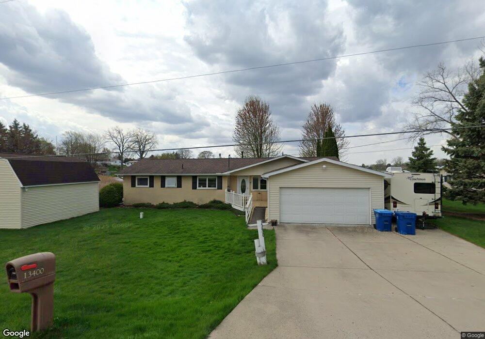
13400 S Horrell Rd Fenton, MI 48430
Estimated Value: $507,000 - $670,000
3
Beds
2
Baths
1,868
Sq Ft
$330/Sq Ft
Est. Value
About This Home
This home is located at 13400 S Horrell Rd, Fenton, MI 48430 and is currently estimated at $617,237, approximately $330 per square foot. 13400 S Horrell Rd is a home located in Genesee County with nearby schools including West Shore Elementary School, Torrey Hill Intermediate School, and Lake Fenton Middle School.
Ownership History
Date
Name
Owned For
Owner Type
Purchase Details
Closed on
Apr 2, 2013
Sold by
Delecki Anthony M
Bought by
Delecki Anthony M and Anthony M Delecki Revocable Tr
Current Estimated Value
Purchase Details
Closed on
Aug 24, 2006
Sold by
Bird William C and Bird Tamara
Bought by
Delecki Anthony M and Delecki Lori A
Home Financials for this Owner
Home Financials are based on the most recent Mortgage that was taken out on this home.
Original Mortgage
$170,000
Interest Rate
6.77%
Mortgage Type
Purchase Money Mortgage
Purchase Details
Closed on
Jun 20, 2003
Sold by
Cameron Henry J and Cameron Carole
Bought by
Bird William C and Bird Tamara
Create a Home Valuation Report for This Property
The Home Valuation Report is an in-depth analysis detailing your home's value as well as a comparison with similar homes in the area
Home Values in the Area
Average Home Value in this Area
Purchase History
| Date | Buyer | Sale Price | Title Company |
|---|---|---|---|
| Delecki Anthony M | -- | None Available | |
| Delecki Anthony M | -- | None Available | |
| Delecki Anthony M | $337,900 | Cislo Title Co | |
| Bird William C | $325,000 | Lawyers Title Ins Corp |
Source: Public Records
Mortgage History
| Date | Status | Borrower | Loan Amount |
|---|---|---|---|
| Open | Delecki Anthony M | $162,700 | |
| Closed | Delecki Anthony M | $172,500 | |
| Closed | Delecki Anthony M | $179,000 | |
| Closed | Delecki Anthony M | $185,000 | |
| Closed | Delecki Anthony M | $170,000 |
Source: Public Records
Tax History Compared to Growth
Tax History
| Year | Tax Paid | Tax Assessment Tax Assessment Total Assessment is a certain percentage of the fair market value that is determined by local assessors to be the total taxable value of land and additions on the property. | Land | Improvement |
|---|---|---|---|---|
| 2024 | $1,853 | $310,900 | $0 | $0 |
| 2023 | $1,768 | $261,300 | $0 | $0 |
| 2022 | $5,126 | $220,300 | $0 | $0 |
| 2021 | $5,057 | $219,300 | $0 | $0 |
| 2020 | $1,617 | $197,700 | $0 | $0 |
| 2019 | $1,591 | $184,700 | $0 | $0 |
| 2018 | $4,663 | $168,800 | $0 | $0 |
| 2017 | $4,422 | $166,700 | $0 | $0 |
| 2016 | $4,307 | $152,800 | $0 | $0 |
| 2015 | $4,242 | $142,500 | $0 | $0 |
| 2014 | $1,438 | $125,000 | $0 | $0 |
| 2012 | -- | $137,000 | $137,000 | $0 |
Source: Public Records
Map
Nearby Homes
- 3302 Rolston Rd
- 11 Crane Lake Dr
- 13354 Julie Anne Ct
- 3130 Harbor Pointe Cir Unit 64
- 4 W Lakes Ave
- 13167 Harbor Landings Dr
- 2490 Golden Shore Ct
- 13090 Harbor Landings Dr Unit 20
- 3515 Lahring Rd
- 13023 Harbor Landings Dr Unit 8
- 14214 Eastview Dr
- 15000 North Rd
- 12484 Saint Andrews Way Unit 38
- 12494 Saint Andrews Way
- 2409 Golden Shores Dr
- VL Crane Crane Rd
- Vacant Land Crane Rd
- 2361 Golden Shore Dr
- 13298 Harborview Dr Unit 50
- 2379 Grove Park Rd
- 13400 S Horrell Rd
- 13388 S Horrell Rd
- 13422 S Horrell Rd
- 13372 S Horrell Rd
- 3343 Rolston Rd
- 3343 Rolston Rd
- 3343 Rolston Rd
- 3343 Rolston Rd
- 3363 Rolston Rd
- 13442 S Horrell Rd
- 13421 S Horrell Rd
- 13425 S Horrell Rd
- 3379 Rolston Rd
- 13472 S Horrell Rd
- 3369 Rolston Rd
- 13407 S Horrell Rd
- 13415 S Horrell Rd
- 13480 S Horrell Rd
- 13445 S Horrell Rd
- 13447 Bryson Ct Unit 1