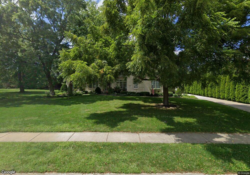
13402 Munsee Path Carmel, IN 46033
East Carmel NeighborhoodEstimated Value: $556,000 - $854,000
3
Beds
3
Baths
3,523
Sq Ft
$214/Sq Ft
Est. Value
About This Home
This home is located at 13402 Munsee Path, Carmel, IN 46033 and is currently estimated at $752,414, approximately $213 per square foot. 13402 Munsee Path is a home located in Hamilton County with nearby schools including Prairie Trace Elementary School, Clay Middle School, and Carmel High School.
Ownership History
Date
Name
Owned For
Owner Type
Purchase Details
Closed on
Apr 27, 2001
Sold by
Scheetz Co Inc
Bought by
Lyday Richard E and Lyday Sally J
Current Estimated Value
Home Financials for this Owner
Home Financials are based on the most recent Mortgage that was taken out on this home.
Original Mortgage
$300,000
Outstanding Balance
$103,193
Interest Rate
6.95%
Estimated Equity
$649,221
Create a Home Valuation Report for This Property
The Home Valuation Report is an in-depth analysis detailing your home's value as well as a comparison with similar homes in the area
Home Values in the Area
Average Home Value in this Area
Purchase History
| Date | Buyer | Sale Price | Title Company |
|---|---|---|---|
| Lyday Richard E | -- | -- |
Source: Public Records
Mortgage History
| Date | Status | Borrower | Loan Amount |
|---|---|---|---|
| Open | Lyday Richard E | $300,000 |
Source: Public Records
Tax History
| Year | Tax Paid | Tax Assessment Tax Assessment Total Assessment is a certain percentage of the fair market value that is determined by local assessors to be the total taxable value of land and additions on the property. | Land | Improvement |
|---|---|---|---|---|
| 2025 | $8,032 | $743,200 | $219,900 | $523,300 |
| 2024 | $7,399 | $701,800 | $219,900 | $481,900 |
| 2023 | $7,399 | $658,000 | $176,100 | $481,900 |
| 2022 | $7,029 | $613,000 | $176,100 | $436,900 |
| 2021 | $5,937 | $522,500 | $176,100 | $346,400 |
| 2020 | $5,665 | $498,800 | $176,100 | $322,700 |
| 2019 | $5,186 | $457,000 | $115,300 | $341,700 |
| 2018 | $5,093 | $457,000 | $115,300 | $341,700 |
| 2017 | $4,853 | $435,600 | $115,300 | $320,300 |
| 2016 | $4,860 | $443,100 | $115,300 | $327,800 |
| 2014 | $4,780 | $437,600 | $108,600 | $329,000 |
| 2013 | $4,780 | $412,600 | $108,600 | $304,000 |
Source: Public Records
Map
Nearby Homes
- 5285 Canary Ct
- 5274 Chickasaw Ct
- 14227 Avian Way
- 14047 Platte Dr
- 5787 Coopers Hawk Dr
- 5250 Ivy Hill Dr
- 13848 Fernleaf Way
- 5291 Woodfield Dr S
- 13135 Player Cir
- 5790 Annandale Dr
- 5803 Tanager Ln
- 12751 Kiawah Dr
- 4991 E Main St
- 14559 Waverly Dr
- 12720 Kiawah Dr
- 5741 Turnbull Ct
- 14523 Smickle Ln
- 4843 Essex Ct
- 5474 Cayman Ct
- 5873 Lost Oaks Dr
- 13950 Cherry Tree Rd
- 5254 Comanche Trail
- 5252 Comanche Trail
- 13401 Munsee Path
- 13403 Munsee Path
- 5302 Canary Ct
- 5296 Canary Ct
- 5297 Canary Ct
- 5258 Comanche Trail
- 5257 Comanche Trail
- 5255 Comanche Trail
- 14000 Cherry Tree Rd
- 5259 Comanche Trail
- 5253 Comanche Trail
- 5284 Canary Ct
- 13777 Hazel Dell Pkwy
- 5889 Osage Dr
- 5292 Avian Way
- 5260 Comanche Trail
- 5261 Comanche Trail
Your Personal Tour Guide
Ask me questions while you tour the home.