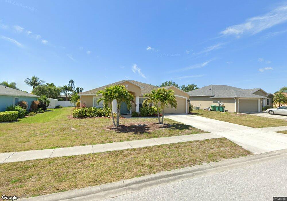
13407 Darnell Ave Port Charlotte, FL 33981
Gulf Cove NeighborhoodEstimated Value: $279,000 - $411,000
3
Beds
2
Baths
1,655
Sq Ft
$197/Sq Ft
Est. Value
About This Home
This home is located at 13407 Darnell Ave, Port Charlotte, FL 33981 and is currently estimated at $326,120, approximately $197 per square foot. 13407 Darnell Ave is a home located in Charlotte County with nearby schools including Myakka River Elementary School, L.A. Ainger Middle School, and Lemon Bay High School.
Ownership History
Date
Name
Owned For
Owner Type
Purchase Details
Closed on
Aug 19, 2015
Sold by
Bourcier John D and Bourcier Adele P
Bought by
George John H and George Brenda T
Current Estimated Value
Home Financials for this Owner
Home Financials are based on the most recent Mortgage that was taken out on this home.
Original Mortgage
$157,102
Outstanding Balance
$125,092
Interest Rate
4.4%
Mortgage Type
FHA
Estimated Equity
$201,028
Purchase Details
Closed on
Aug 5, 2005
Sold by
Holiday Builders Inc
Bought by
Bourcier John D and Bourcier Adele P
Create a Home Valuation Report for This Property
The Home Valuation Report is an in-depth analysis detailing your home's value as well as a comparison with similar homes in the area
Home Values in the Area
Average Home Value in this Area
Purchase History
| Date | Buyer | Sale Price | Title Company |
|---|---|---|---|
| George John H | $160,000 | Sunbelt Title Agency | |
| Bourcier John D | $144,400 | Lawyers Title Ins |
Source: Public Records
Mortgage History
| Date | Status | Borrower | Loan Amount |
|---|---|---|---|
| Open | George John H | $157,102 |
Source: Public Records
Tax History Compared to Growth
Tax History
| Year | Tax Paid | Tax Assessment Tax Assessment Total Assessment is a certain percentage of the fair market value that is determined by local assessors to be the total taxable value of land and additions on the property. | Land | Improvement |
|---|---|---|---|---|
| 2023 | $2,604 | $145,680 | $0 | $0 |
| 2022 | $2,856 | $163,954 | $0 | $0 |
| 2021 | $2,847 | $159,179 | $0 | $0 |
| 2020 | $2,794 | $156,981 | $0 | $0 |
| 2019 | $2,697 | $153,452 | $0 | $0 |
| 2018 | $2,300 | $150,591 | $0 | $0 |
| 2017 | $2,275 | $147,494 | $0 | $0 |
| 2016 | $2,260 | $144,460 | $0 | $0 |
| 2015 | $2,520 | $119,388 | $0 | $0 |
| 2014 | $2,646 | $123,236 | $0 | $0 |
Source: Public Records
Map
Nearby Homes
- 13384 Darnell Ave
- 13367 Darnell Ave
- 6322 Thorman Rd
- 13360 Foresman Blvd
- 13450 Bennett Dr
- 6219 Coliseum Blvd
- 13371 Drysdale Ave
- 13482 Darnell Ave
- 13363 Drysdale Ave
- 13309 Foresman Blvd
- 13258 Drysdale Ave
- 13171 Drysdale Ave
- 13441 Drysdale Ave
- 13301 Foresman Blvd
- 13316 Darnell Ave
- 6294 Thorman Rd
- 13280 Foresman Blvd
- 5473 Burgner St
- 13264 Foresman Blvd
- 13532 Romford Ave
- 13415 Darnell Ave
- 13399 Darnell Ave
- 6278 Coliseum Blvd
- 6286 Coliseum Blvd
- 13391 Darnell Ave
- 13408 Avenue
- 13408 Darnell Ave
- 13425 Darnell Ave
- 13416 Darnell Ave
- 6270 Coliseum Blvd
- 6051 Bywater St
- 6051 Street
- 13392 Darnell Ave
- 13383 Darnell Ave
- 6296 Coliseum Blvd
- 13426 Darnell Ave
- 6262 Coliseum Blvd
- 13375 Darnell Ave
- 13441 Darnell Ave
- 6254 Coliseum Blvd