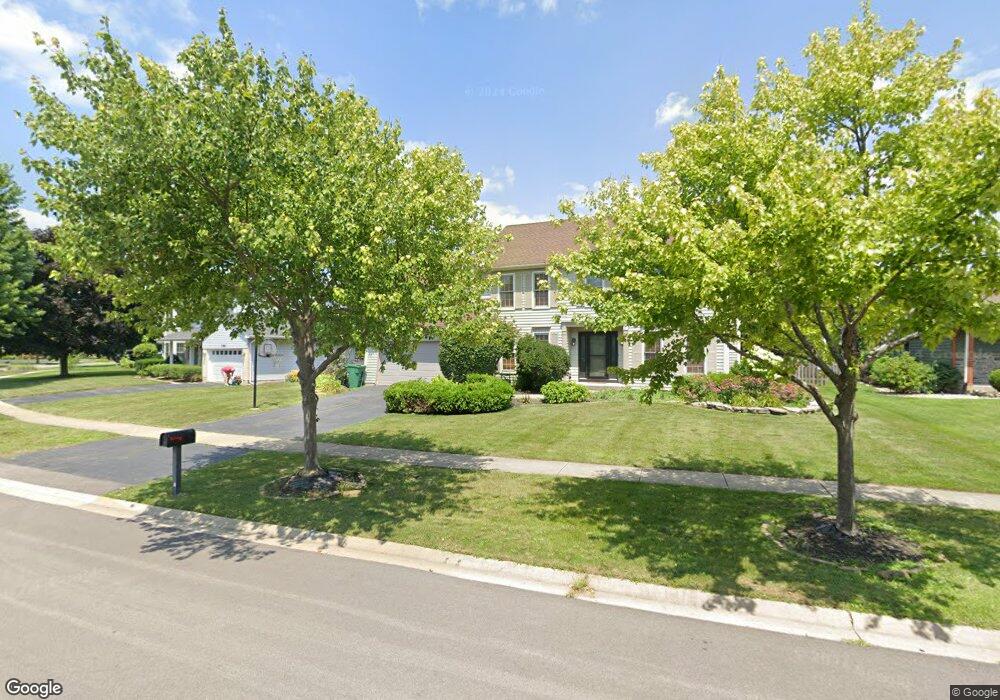
13407 S Columbine Cir Plainfield, IL 60585
North Plainfield NeighborhoodEstimated Value: $435,533 - $518,000
4
Beds
3
Baths
2,376
Sq Ft
$197/Sq Ft
Est. Value
About This Home
This home is located at 13407 S Columbine Cir, Plainfield, IL 60585 and is currently estimated at $468,883, approximately $197 per square foot. 13407 S Columbine Cir is a home located in Will County with nearby schools including Eagle Pointe Elementary School, Heritage Grove Middle School, and Plainfield North High School.
Ownership History
Date
Name
Owned For
Owner Type
Purchase Details
Closed on
Oct 15, 2013
Sold by
Karcz Stanley A
Bought by
Lamas Ricardo
Current Estimated Value
Purchase Details
Closed on
Mar 29, 2011
Sold by
Karcz Lori J
Bought by
Karcz Stanley A
Purchase Details
Closed on
Oct 14, 2003
Sold by
Caliendo Anthony F and Caliendo Mary L
Bought by
Karcz Stanley and Karcz Lori J
Home Financials for this Owner
Home Financials are based on the most recent Mortgage that was taken out on this home.
Original Mortgage
$256,500
Interest Rate
7.49%
Mortgage Type
Purchase Money Mortgage
Create a Home Valuation Report for This Property
The Home Valuation Report is an in-depth analysis detailing your home's value as well as a comparison with similar homes in the area
Home Values in the Area
Average Home Value in this Area
Purchase History
| Date | Buyer | Sale Price | Title Company |
|---|---|---|---|
| Lamas Ricardo | $270,270 | None Available | |
| Karcz Stanley A | -- | None Available | |
| Karcz Stanley | $270,000 | Chicago Title Insurance Co |
Source: Public Records
Mortgage History
| Date | Status | Borrower | Loan Amount |
|---|---|---|---|
| Previous Owner | Karcz Stanley | $256,500 |
Source: Public Records
Tax History Compared to Growth
Tax History
| Year | Tax Paid | Tax Assessment Tax Assessment Total Assessment is a certain percentage of the fair market value that is determined by local assessors to be the total taxable value of land and additions on the property. | Land | Improvement |
|---|---|---|---|---|
| 2024 | $9,442 | $137,738 | $30,982 | $106,756 |
| 2023 | $9,442 | $121,676 | $27,369 | $94,307 |
| 2022 | $7,963 | $105,355 | $25,892 | $79,463 |
| 2021 | $7,664 | $100,338 | $24,659 | $75,679 |
| 2020 | $7,657 | $98,748 | $24,268 | $74,480 |
| 2019 | $7,539 | $95,965 | $23,584 | $72,381 |
| 2018 | $7,497 | $93,673 | $23,065 | $70,608 |
| 2017 | $7,457 | $91,255 | $22,470 | $68,785 |
| 2016 | $7,472 | $89,290 | $21,986 | $67,304 |
| 2015 | $7,005 | $85,855 | $21,140 | $64,715 |
| 2014 | $7,005 | $81,235 | $21,140 | $60,095 |
| 2013 | $7,005 | $81,235 | $21,140 | $60,095 |
Source: Public Records
Map
Nearby Homes
- 24331 Norwood Dr
- 13516 Vicarage Dr Unit 2
- 13028 Bradford Ln Unit 1
- 24439 W Beckham Cir
- 24535 W Beckham Cir
- 12901 S Twin Pines Ln
- 12966 S Twin Pines Ln
- 12950 S Twin Pines Ln
- 12916 S Mason Ln
- 13360 Vicky St
- 24112 W Joseph Ave
- 12854 S Sydney Cir
- 12938 S Beckham Dr
- 24650 W Adalyn Ct
- 24418 W Alexis Ln Unit 67416
- 24420 W Alexis Ln Unit 55407
- 24422 W Alexis Ln Unit 55406
- 24424 W Alexis Ln Unit 55405
- 13018 S Sydney Cir
- 24505 W Kroll Dr Unit 67416
- 13363 S Columbine Cir
- 13411 S Columbine Cir Unit 2
- 24223 W Aster Ct
- 13353 S Columbine Cir Unit 2
- 13419 S Columbine Cir
- 13416 S Columbine Cir
- 24226 W Aster Ct
- 24219 W Aster Ct
- 13343 S Columbine Cir
- 13422 S Columbine Cir
- 13423 S Columbine Cir
- 13408 S Columbine Cir
- 13400 S Columbine Cir
- 13358 S Columbine Cir
- 13337 S Columbine Cir
- 13430 S Columbine Cir
- 24218 W Aster Ct
- 13434 S Columbine Cir
- 13348 S Columbine Cir
- 13412 S Golden Meadow Dr