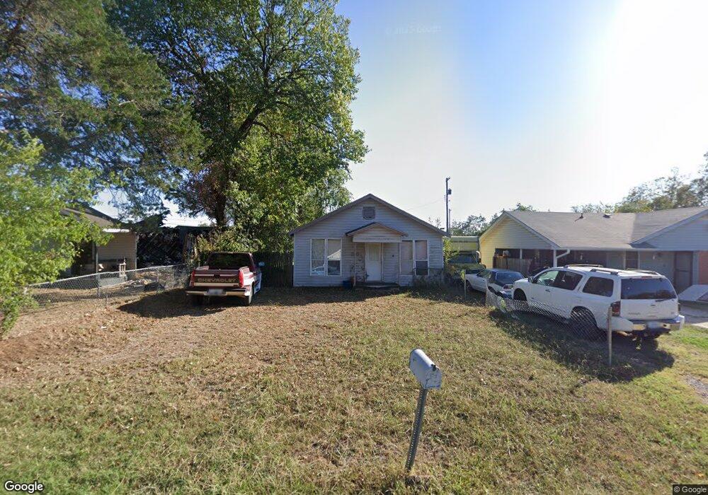
1341 E Ada St Shawnee, OK 74801
Estimated Value: $71,896 - $148,000
2
Beds
1
Bath
1,178
Sq Ft
$96/Sq Ft
Est. Value
About This Home
This home is located at 1341 E Ada St, Shawnee, OK 74801 and is currently estimated at $113,224, approximately $96 per square foot. 1341 E Ada St is a home located in Pottawatomie County with nearby schools including Horace Mann Elementary School, Shawnee Middle School, and Shawnee High School.
Ownership History
Date
Name
Owned For
Owner Type
Purchase Details
Closed on
Feb 26, 2007
Sold by
Milburn Kermit M and Milburn Taprina K
Bought by
Herrara Luis and Lomaintewa Feather S
Current Estimated Value
Home Financials for this Owner
Home Financials are based on the most recent Mortgage that was taken out on this home.
Original Mortgage
$35,978
Interest Rate
18%
Mortgage Type
Seller Take Back
Purchase Details
Closed on
Aug 3, 1995
Sold by
Tsotaddle Joseph and Tsotaddle Mavis
Bought by
Milburn Kermit
Purchase Details
Closed on
Jun 12, 1995
Sold by
Cullison Janell
Bought by
Milburn Kermit
Create a Home Valuation Report for This Property
The Home Valuation Report is an in-depth analysis detailing your home's value as well as a comparison with similar homes in the area
Purchase History
| Date | Buyer | Sale Price | Title Company |
|---|---|---|---|
| Herrara Luis | $36,000 | None Available | |
| Milburn Kermit | -- | -- | |
| Milburn Kermit | -- | -- |
Source: Public Records
Mortgage History
| Date | Status | Borrower | Loan Amount |
|---|---|---|---|
| Previous Owner | Herrara Luis | $35,978 |
Source: Public Records
Tax History
| Year | Tax Paid | Tax Assessment Tax Assessment Total Assessment is a certain percentage of the fair market value that is determined by local assessors to be the total taxable value of land and additions on the property. | Land | Improvement |
|---|---|---|---|---|
| 2025 | $403 | $4,111 | $504 | $3,607 |
| 2024 | $390 | $3,915 | $504 | $3,411 |
| 2023 | $390 | $3,729 | $504 | $3,225 |
| 2022 | $383 | $3,729 | $504 | $3,225 |
| 2021 | $376 | $3,729 | $504 | $3,225 |
| 2020 | $377 | $3,729 | $504 | $3,225 |
| 2019 | $398 | $3,812 | $504 | $3,308 |
| 2018 | $383 | $3,739 | $504 | $3,235 |
| 2017 | $359 | $3,561 | $504 | $3,057 |
| 2016 | $346 | $3,391 | $504 | $2,887 |
| 2015 | $323 | $3,230 | $504 | $2,726 |
| 2014 | $418 | $4,176 | $420 | $3,756 |
Source: Public Records
Map
Nearby Homes
- 1330 E Whittaker St
- 1337 E Margaret St
- 1313 E Whittaker St
- 1322 E Margaret St
- 1314 E Margaret St
- 1327 E Fay St
- 1214 E Edwards St
- 911 N Pesotum Ave
- 0 E Fay St
- 1201 E Margaret St
- 648 N Cleveland Ave
- 535 N Patchin Ave
- 1119 E 11th St
- 1416 E 9th St
- 1207 E 10th St
- 1223 E Wallace St
- 1306 E Wallace St
- 703 N Roosevelt Ave
- 1330 E Main St
- 1016 E 10th St
- 1345 E Ada St
- 1315 E Ada St
- 1332 E Highland St
- 1346 E Ada St
- 1337 E Ada St
- 1328 E Highland St
- 606 N Pesotum Ave
- 1330 E Ada St
- 1323 E Ada St
- 1318 E Highland St
- 1339 E Highland St
- 1335 E Highland St
- 1342 E Ada St
- 1414 E Highland St
- 1311 E Ada St
- 1333 E Edwards St
- 608 N Pesotum Ave
- 1320 E Ada St
- 1401 E Highland St
Your Personal Tour Guide
Ask me questions while you tour the home.