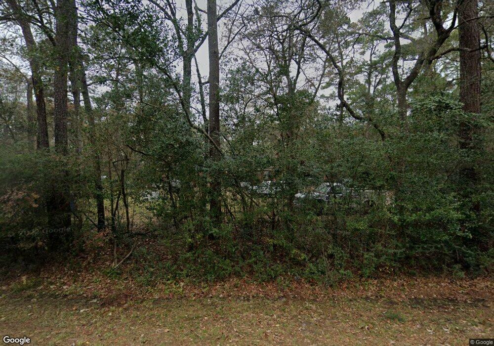
13410 Lindsey Rd Cypress, TX 77429
Estimated Value: $341,000 - $495,000
4
Beds
3
Baths
2,356
Sq Ft
$167/Sq Ft
Est. Value
About This Home
This home is located at 13410 Lindsey Rd, Cypress, TX 77429 and is currently estimated at $393,668, approximately $167 per square foot. 13410 Lindsey Rd is a home located in Harris County with nearby schools including Hamilton Elementary School, Hamilton Middle School, and Cy-Fair High School.
Ownership History
Date
Name
Owned For
Owner Type
Purchase Details
Closed on
Feb 8, 2016
Sold by
K And L Innovations Llc
Bought by
Wade Nathan Z
Current Estimated Value
Home Financials for this Owner
Home Financials are based on the most recent Mortgage that was taken out on this home.
Original Mortgage
$274,928
Outstanding Balance
$217,734
Interest Rate
3.75%
Mortgage Type
FHA
Estimated Equity
$175,934
Purchase Details
Closed on
Apr 23, 2008
Sold by
Hammond Jason L and Hammond Penny H
Bought by
Le Steve
Home Financials for this Owner
Home Financials are based on the most recent Mortgage that was taken out on this home.
Original Mortgage
$204,250
Interest Rate
6.11%
Mortgage Type
Purchase Money Mortgage
Create a Home Valuation Report for This Property
The Home Valuation Report is an in-depth analysis detailing your home's value as well as a comparison with similar homes in the area
Home Values in the Area
Average Home Value in this Area
Purchase History
| Date | Buyer | Sale Price | Title Company |
|---|---|---|---|
| Wade Nathan Z | -- | Stewart Title | |
| Le Steve | -- | Startex Title Company |
Source: Public Records
Mortgage History
| Date | Status | Borrower | Loan Amount |
|---|---|---|---|
| Open | Wade Nathan Z | $274,928 | |
| Previous Owner | Le Steve | $204,250 |
Source: Public Records
Tax History Compared to Growth
Tax History
| Year | Tax Paid | Tax Assessment Tax Assessment Total Assessment is a certain percentage of the fair market value that is determined by local assessors to be the total taxable value of land and additions on the property. | Land | Improvement |
|---|---|---|---|---|
| 2025 | $5,972 | $308,664 | $37,500 | $271,164 |
| 2024 | $5,972 | $308,664 | $37,500 | $271,164 |
| 2023 | $5,972 | $308,664 | $37,500 | $271,164 |
| 2022 | $6,356 | $308,664 | $37,500 | $271,164 |
| 2021 | $6,678 | $308,664 | $37,500 | $271,164 |
| 2020 | $6,001 | $269,198 | $30,000 | $239,198 |
| 2019 | $6,243 | $269,198 | $30,000 | $239,198 |
| 2018 | $2,495 | $173,294 | $30,000 | $143,294 |
| 2017 | $5,018 | $216,799 | $30,000 | $186,799 |
| 2016 | $5,018 | $216,799 | $30,000 | $186,799 |
| 2015 | $4,149 | $216,799 | $30,000 | $186,799 |
| 2014 | $4,149 | $179,272 | $30,000 | $149,272 |
Source: Public Records
Map
Nearby Homes
- 13515 Maxwell Rd
- 13402 Wedgewood Thicket Way
- 13407 Hartford Bay Trail
- 13410 Kluge Corner Ln
- 13535 Raven Hill Dr
- 13803 Oak Fair Bend
- 13302 Lakewood Meadow Dr
- 12952 Lake Parc Bend Dr
- 12537 Kluge Rd
- 13606 Oak Harbor Bend
- 13212 Lismore Point
- 12515 Lakecrest Cir
- 13810 Lake Port
- 12631 Texas Army Trail
- 12523 Campsite Trail
- 11711 Lismore Lake Dr
- 0 N Moss Creek Dr Unit 46829968
- 11938 Galentine Point
- 12502 Ravensway Dr
- 12611 Campsite Trail
- 13419 Maxwell Rd
- 13418 Lindsey Rd
- 13427 Maxwell Rd
- 13442 Lindsey Rd
- 13026 Maxwell Rd
- 13523 Maxwell Rd
- 13423 Lindsey Rd
- 13022 Maxwell Rd
- 13435 Maxwell Rd
- 13114 Maxwell Rd
- 13410 Maxwell Rd
- 83 & 84 Lindsey Rd
- 13402 Maxwell Rd
- 13110 Maxwell Rd
- 13118 Maxwell Rd
- 13122 Maxwell Rd
- 13418 Maxwell Rd
- 13502 Lindsey Rd
- 13502 Robbins Rd
- 13503 Maxwell Rd
