13410 Raybon Rd W Nahunta, GA 31553
Estimated Value: $109,000 - $210,000
1
Bed
1
Bath
374
Sq Ft
$410/Sq Ft
Est. Value
About This Home
This home is located at 13410 Raybon Rd W, Nahunta, GA 31553 and is currently estimated at $153,359, approximately $410 per square foot. 13410 Raybon Rd W is a home with nearby schools including Nahunta Primary School, Nahunta Elementary School, and Brantley County Middle School.
Ownership History
Date
Name
Owned For
Owner Type
Purchase Details
Closed on
Sep 21, 2016
Sold by
Katie Dalmi
Bought by
Minter Scott Wayne
Current Estimated Value
Home Financials for this Owner
Home Financials are based on the most recent Mortgage that was taken out on this home.
Original Mortgage
$26,992
Interest Rate
3.43%
Mortgage Type
New Conventional
Purchase Details
Closed on
Nov 18, 2005
Sold by
Purdom David H
Bought by
Minter Dalmi Katie
Home Financials for this Owner
Home Financials are based on the most recent Mortgage that was taken out on this home.
Original Mortgage
$28,423
Interest Rate
6.04%
Mortgage Type
New Conventional
Create a Home Valuation Report for This Property
The Home Valuation Report is an in-depth analysis detailing your home's value as well as a comparison with similar homes in the area
Home Values in the Area
Average Home Value in this Area
Purchase History
| Date | Buyer | Sale Price | Title Company |
|---|---|---|---|
| Minter Scott Wayne | $26,992 | -- | |
| Minter Dalmi Katie | $44,223 | -- |
Source: Public Records
Mortgage History
| Date | Status | Borrower | Loan Amount |
|---|---|---|---|
| Closed | Minter Scott Wayne | $26,992 | |
| Previous Owner | Minter Dalmi Katie | $28,423 |
Source: Public Records
Tax History Compared to Growth
Tax History
| Year | Tax Paid | Tax Assessment Tax Assessment Total Assessment is a certain percentage of the fair market value that is determined by local assessors to be the total taxable value of land and additions on the property. | Land | Improvement |
|---|---|---|---|---|
| 2024 | $1,201 | $29,374 | $11,696 | $17,678 |
| 2023 | $322 | $28,311 | $10,633 | $17,678 |
| 2022 | $1,125 | $26,711 | $10,633 | $16,078 |
| 2021 | $895 | $19,249 | $10,633 | $8,616 |
| 2020 | $915 | $19,249 | $10,633 | $8,616 |
| 2019 | $682 | $11,933 | $10,633 | $1,300 |
| 2018 | $527 | $15,516 | $14,216 | $1,300 |
| 2017 | $527 | $15,516 | $14,216 | $1,300 |
| 2016 | $1,111 | $26,402 | $14,216 | $12,186 |
| 2015 | -- | $26,403 | $0 | $0 |
Source: Public Records
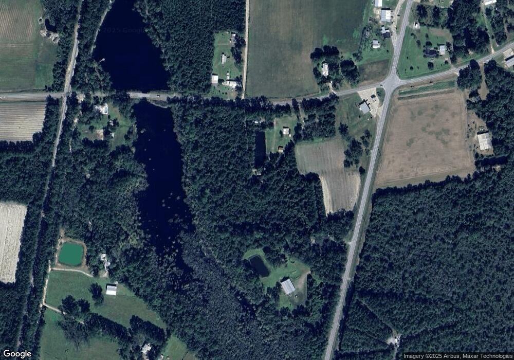
Map
Nearby Homes
- 14375 Hwy 301 N
- 13929 Raybon Rd E
- 0 Woodrow Ln
- 3362 Seed Orchard Rd
- 4452 Pembers Rd
- 4432 Pembers Rd
- 584 Knox St
- 0 Humpback Rd
- 20.55 ACRES U S Highway 82
- 00 Lewis Landing
- 18583 Raybon Rd E
- 92 Ervin St
- 76 Ervin St
- 17082 Hwy 341
- 105 Crawford Rd
- 255 Spell Landing Rd
- 0 Roberson Rd
- 0 Roberson Rd Unit 21711381
- 603 Cumberland Rd
- Tract 1 Unit Trudie Rd
- 13404 Raybon Rd W
- 13454 Raybon Rd W
- 13491 Raybon Rd W
- 13857 Highway 301 N
- 115-A Raybon Rock Rd
- 4016 Florida Ave
- 3780 Florida Ave
- 14099 Highway 301 N
- 13610 Raybon Rd E
- 13239 Raybon Rd W
- 177 Purdom Rd
- 14188 Highway 301 N
- 97 Loblolly Ln
- 75 Loblolly Ln
- 133 Loblolly Ln
- 13502 Highway 301 Rd N
- 0 Rr 3 Box 145b Florida Ave Unit 1574042
- 3640 Florida Ave
- 13484 Highway 301 N
- 12951 Raybon Rd W