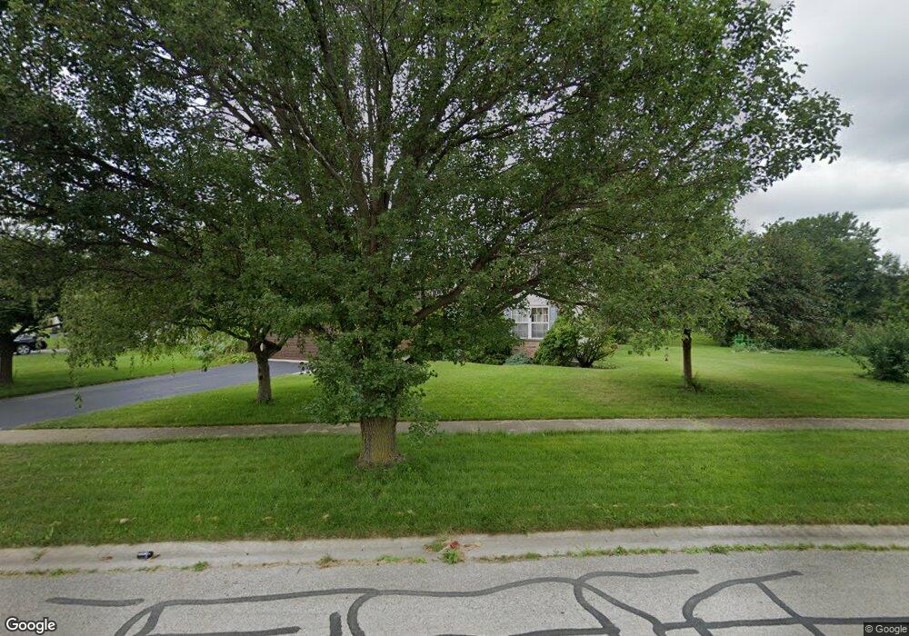
13410 Red Star Dr Plainfield, IL 60585
North Plainfield NeighborhoodEstimated Value: $383,152 - $495,000
Studio
--
Bath
1,421
Sq Ft
$302/Sq Ft
Est. Value
About This Home
This home is located at 13410 Red Star Dr, Plainfield, IL 60585 and is currently estimated at $429,038, approximately $301 per square foot. 13410 Red Star Dr is a home located in Will County with nearby schools including Walkers Grove Elementary School, Richard Ira Jones Middle School, and Plainfield North High School.
Ownership History
Date
Name
Owned For
Owner Type
Purchase Details
Closed on
Dec 6, 2005
Sold by
Nardulli Frank
Bought by
Nardulli Sherill S
Current Estimated Value
Purchase Details
Closed on
Sep 16, 1998
Sold by
Alan Dale Homes Corp
Bought by
Nardulli Frank and Nardulli Sherrill S
Home Financials for this Owner
Home Financials are based on the most recent Mortgage that was taken out on this home.
Original Mortgage
$135,000
Interest Rate
6.99%
Create a Home Valuation Report for This Property
The Home Valuation Report is an in-depth analysis detailing your home's value as well as a comparison with similar homes in the area
Home Values in the Area
Average Home Value in this Area
Purchase History
| Date | Buyer | Sale Price | Title Company |
|---|---|---|---|
| Nardulli Sherill S | -- | -- | |
| Nardulli Frank | $176,000 | Law Title Insurance Co Inc |
Source: Public Records
Mortgage History
| Date | Status | Borrower | Loan Amount |
|---|---|---|---|
| Previous Owner | Nardulli Frank | $135,000 |
Source: Public Records
Tax History
| Year | Tax Paid | Tax Assessment Tax Assessment Total Assessment is a certain percentage of the fair market value that is determined by local assessors to be the total taxable value of land and additions on the property. | Land | Improvement |
|---|---|---|---|---|
| 2024 | $7,517 | $111,281 | $29,429 | $81,852 |
| 2023 | $7,517 | $98,304 | $25,997 | $72,307 |
| 2022 | $6,726 | $89,930 | $24,593 | $65,337 |
| 2021 | $6,471 | $85,648 | $23,422 | $62,226 |
| 2020 | $6,464 | $84,291 | $23,051 | $61,240 |
| 2019 | $6,362 | $81,915 | $22,401 | $59,514 |
| 2018 | $6,322 | $79,925 | $21,908 | $58,017 |
| 2017 | $6,285 | $77,861 | $21,342 | $56,519 |
| 2016 | $6,296 | $76,185 | $20,883 | $55,302 |
| 2015 | $5,701 | $73,255 | $20,080 | $53,175 |
| 2014 | $5,701 | $67,232 | $20,080 | $47,152 |
| 2013 | $5,701 | $67,232 | $20,080 | $47,152 |
Source: Public Records
Map
Nearby Homes
- 25764 Sunnymere Dr
- 13204 Cinnamon Cir
- 13203 Skyline Dr
- 13456 Skyline Dr
- 25216 Round Barn Rd Unit 11
- 25255 Wheat Dr Unit 8
- 26130 W Sherwood Cir
- 25301 Pavilion Place
- 25907 W Canyon Blvd
- 26115 Mapleview Dr
- 13002 Staggs Leap Trail
- 26216 W Sherwood Cir
- 26209 W Sablewood Cir
- 26205 W Sablewood Cir
- 26208 W Sablewood Cir
- 26336 W Sablewood Cir
- 12935 Summerhouse Dr
- 25004 Chelsea Ln
- 26212 W Sablewood Cir
- 26332 W Sablewood Cir
- 25532 W Gateway Cir
- 25536 W Gateway Cir
- 13401 Red Star Dr
- 25531 W Gateway Cir
- 25540 W Gateway Cir
- 25535 W Gateway Cir
- 25520 W Gateway Cir Unit 1
- 25608 Sunnymere Ct
- 25600 Sunnymere Ct
- 25539 W Gateway Cir
- 25544 W Gateway Cir
- 13416 S Sunflower Ct
- 13426 S Sunflower Ct Unit 1
- 25543 W Gateway Cir
- 25616 Sunnymere Dr
- 25616 Sunnymere Ct
- 13432 S Sunflower Ct
- 13349 Blakely Dr
- 13409 Blakely Dr
- 25512 W Gateway Cir
Your Personal Tour Guide
Ask me questions while you tour the home.
