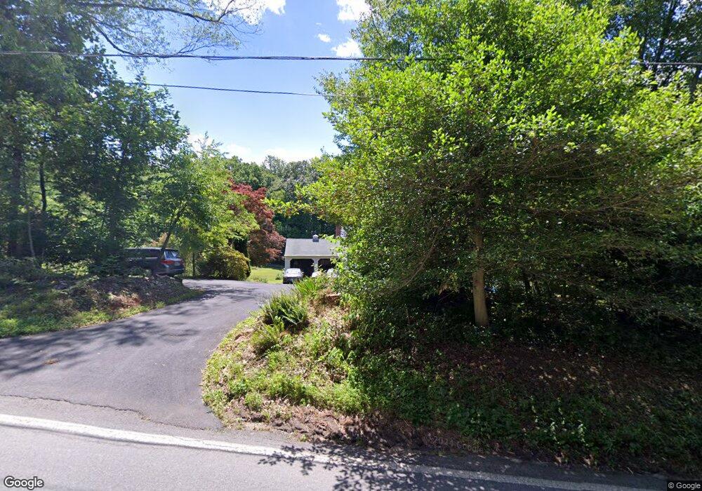
13412 Fork Rd Baldwin, MD 21013
Jacksonville NeighborhoodEstimated Value: $559,000 - $599,492
Studio
2
Baths
1,935
Sq Ft
$301/Sq Ft
Est. Value
About This Home
This home is located at 13412 Fork Rd, Baldwin, MD 21013 and is currently estimated at $583,123, approximately $301 per square foot. 13412 Fork Rd is a home located in Baltimore County with nearby schools including Carroll Manor Elementary School, Cockeysville Middle School, and Loch Raven High.
Ownership History
Date
Name
Owned For
Owner Type
Purchase Details
Closed on
May 29, 2024
Sold by
Fisher Leonard Phillip and Fisher Carolyn Lucille
Bought by
Leonard And Carolyn Fisher Family Trust and Fisher
Current Estimated Value
Purchase Details
Closed on
Nov 19, 1996
Sold by
Dean Snyder G
Bought by
Fisher Leonard Phillip and Fisher Carolyn Lucille
Purchase Details
Closed on
Feb 1, 1991
Sold by
Burgess Donald L
Bought by
Snyder G Dean
Create a Home Valuation Report for This Property
The Home Valuation Report is an in-depth analysis detailing your home's value as well as a comparison with similar homes in the area
Home Values in the Area
Average Home Value in this Area
Purchase History
| Date | Buyer | Sale Price | Title Company |
|---|---|---|---|
| Leonard And Carolyn Fisher Family Trust | -- | None Listed On Document | |
| Leonard And Carolyn Fisher Family Trust | -- | None Listed On Document | |
| Fisher Leonard Phillip | $225,000 | -- | |
| Snyder G Dean | $205,000 | -- |
Source: Public Records
Tax History
| Year | Tax Paid | Tax Assessment Tax Assessment Total Assessment is a certain percentage of the fair market value that is determined by local assessors to be the total taxable value of land and additions on the property. | Land | Improvement |
|---|---|---|---|---|
| 2025 | $5,342 | $454,233 | -- | -- |
| 2024 | $5,342 | $437,767 | $0 | $0 |
| 2023 | $2,583 | $421,300 | $132,700 | $288,600 |
| 2022 | $4,968 | $408,700 | $0 | $0 |
| 2021 | $4,708 | $396,100 | $0 | $0 |
| 2020 | $4,708 | $383,500 | $132,700 | $250,800 |
| 2019 | $4,682 | $381,333 | $0 | $0 |
| 2018 | $4,656 | $379,167 | $0 | $0 |
| 2017 | $4,588 | $377,000 | $0 | $0 |
| 2016 | $4,183 | $362,967 | $0 | $0 |
| 2015 | $4,183 | $348,933 | $0 | $0 |
| 2014 | $4,183 | $334,900 | $0 | $0 |
Source: Public Records
Map
Nearby Homes
- 5602 Patterson Rd
- 5323 Sweet Air Rd
- 3 Blue Violet Ct
- 2124 Oaklyn Dr
- 1709 D Laurel Brook Rd
- 1709 B Laurel Brook Rd
- 12801 Harford Rd
- 2130 Bellvale Rd
- 6031 Glen Arm Rd E
- 13 Farm Ridge Ct
- 700 Remington Rd
- 2510 Roy Terrace
- 2804A Glen Keld Ct
- 2509 Port Ln
- 2517 Port Ln
- 1319 Martin Meadows Dr
- 2401 Cabernet Ct
- 12343 Long Green Pike
- 13606 Alliston Dr
- 4726 Carroll Manor Rd
- 13421 Fork Rd
- 13500 Fork Rd
- 13407 Fork Rd
- 13427 Fork Rd
- 13403 Fork Rd
- 13400 Fork Rd
- 13417 Fork Rd
- 8 Fork Spring Ct
- 10 Fork Spring Ct
- 13514 Fork Rd
- 13411 Fork Rd
- 13415 Fork Rd
- 6102 Fork Woods Rd
- 13501 Fork Rd
- 13503 Fork Rd
- 13524 Fork Rd
- 6207 Windy Ridge Rd
- 13560 Fork Rd
- 6223 Windy Ridge Rd
- 13519 Fork Rd
Your Personal Tour Guide
Ask me questions while you tour the home.