13413 High Gate Mews Unit 118 Carrollton, VA 23314
Estimated Value: $338,496 - $400,000
4
Beds
3
Baths
1,998
Sq Ft
$178/Sq Ft
Est. Value
About This Home
This home is located at 13413 High Gate Mews Unit 118, Carrollton, VA 23314 and is currently estimated at $356,124, approximately $178 per square foot. 13413 High Gate Mews Unit 118 is a home located in Isle of Wight County with nearby schools including Carrollton Elementary School, Smithfield Middle School, and Smithfield High School.
Ownership History
Date
Name
Owned For
Owner Type
Purchase Details
Closed on
May 14, 2021
Sold by
Carter Brook J
Bought by
Baker Dellon F
Current Estimated Value
Home Financials for this Owner
Home Financials are based on the most recent Mortgage that was taken out on this home.
Original Mortgage
$243,470
Outstanding Balance
$220,300
Interest Rate
3%
Mortgage Type
New Conventional
Estimated Equity
$135,824
Purchase Details
Closed on
Dec 2, 2015
Purchase Details
Closed on
Apr 23, 2015
Purchase Details
Closed on
Jan 3, 2013
Sold by
Mcclellan David L and Epps Cynthia
Purchase Details
Closed on
Feb 19, 2009
Purchase Details
Closed on
Jan 22, 2008
Purchase Details
Closed on
Jan 26, 2004
Create a Home Valuation Report for This Property
The Home Valuation Report is an in-depth analysis detailing your home's value as well as a comparison with similar homes in the area
Home Values in the Area
Average Home Value in this Area
Purchase History
| Date | Buyer | Sale Price | Title Company |
|---|---|---|---|
| Baker Dellon F | $251,000 | Fidelity National Title | |
| -- | $190,000 | -- | |
| -- | $187,100 | -- | |
| -- | -- | -- | |
| -- | -- | -- | |
| -- | $237,900 | -- | |
| -- | $214,700 | -- |
Source: Public Records
Mortgage History
| Date | Status | Borrower | Loan Amount |
|---|---|---|---|
| Open | Baker Dellon F | $243,470 |
Source: Public Records
Tax History Compared to Growth
Tax History
| Year | Tax Paid | Tax Assessment Tax Assessment Total Assessment is a certain percentage of the fair market value that is determined by local assessors to be the total taxable value of land and additions on the property. | Land | Improvement |
|---|---|---|---|---|
| 2025 | $2,248 | $290,100 | $0 | $290,100 |
| 2024 | $2,118 | $290,100 | $0 | $290,100 |
| 2023 | $2,114 | $290,100 | $0 | $290,100 |
| 2022 | $1,926 | $220,200 | $0 | $220,200 |
| 2021 | $1,926 | $220,200 | $0 | $220,200 |
| 2020 | $1,926 | $220,200 | $0 | $220,200 |
| 2019 | $1,926 | $220,200 | $0 | $220,200 |
| 2018 | $1,912 | $218,600 | $0 | $218,600 |
| 2016 | $1,930 | $218,600 | $0 | $218,600 |
| 2015 | $2,044 | $218,600 | $0 | $218,600 |
| 2014 | $2,044 | $232,000 | $0 | $232,000 |
| 2013 | -- | $232,000 | $0 | $232,000 |
Source: Public Records
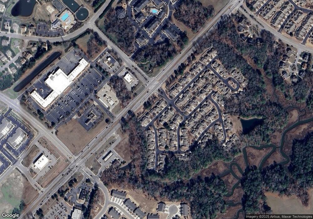
Map
Nearby Homes
- 13414 High Gate Mews
- 13435 Prince Andrew Trail
- 13466 High Gate Mews
- 13418 Bentley Heath Way Unit 97
- 13309 Regent Park Walk
- 13263 Queens Gate Terrace
- 13461 S Village Way
- 23078 Retreat Ln
- Caroline Essential Plan at South Harbor - Towns 55 Plus
- Bramante Ranch Plan at South Harbor - Single-Family 55 Plus
- Bramante 2 Story Plan at South Harbor - Single-Family 55 Plus
- Palladio 2 Story Plan at South Harbor - Single-Family 55 Plus
- Palladio Ranch Plan at South Harbor - Single-Family 55 Plus
- 426 Tributary Ln
- 3.42AC Smiths Neck Rd
- 2210 Mainsail Dr
- 2218 Mainsail Dr
- 22346 Tradewinds Dr
- 411 Tributary Ln
- 101 Herons Cove
- 13411 High Gate Mews
- 13419 High Gate Mews
- 13421 High Gate Mews Unit 120
- 13421 High Gate Mews
- 13407 High Gate Mews
- 13420 High Gate Mews
- 13412 High Gate Mews
- 13422 High Gate Mews
- 13422 High Gate M
- 13403 High Gate Mews
- 13401 High Gate Mews
- 13415 Prince Andrew Trail
- 13417 Prince Andrew Trail
- 13435 High Gate Mews
- 13421 Prince Andrew Trail
- 13434 High Gate Mews
- 13314 Upper Hastings Way
- 13313 Upper Hastings Way Unit 113
- 13313 Upper Hastings Way
- 13437 High Gate Mews