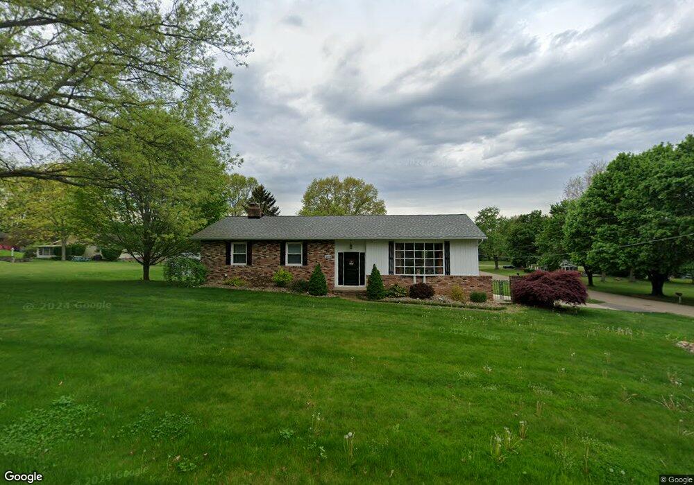
13415 Judy Ave NW Uniontown, OH 44685
Estimated Value: $253,212 - $314,000
3
Beds
3
Baths
1,568
Sq Ft
$179/Sq Ft
Est. Value
About This Home
This home is located at 13415 Judy Ave NW, Uniontown, OH 44685 and is currently estimated at $280,803, approximately $179 per square foot. 13415 Judy Ave NW is a home located in Stark County with nearby schools including Lake Middle/High School, Lake Center Christian School, and Mayfair Christian School.
Ownership History
Date
Name
Owned For
Owner Type
Purchase Details
Closed on
May 1, 2009
Sold by
Krouse Sallie A
Bought by
Ellwood John F and Ellwood Pamela J
Current Estimated Value
Home Financials for this Owner
Home Financials are based on the most recent Mortgage that was taken out on this home.
Original Mortgage
$137,900
Interest Rate
5.05%
Mortgage Type
VA
Create a Home Valuation Report for This Property
The Home Valuation Report is an in-depth analysis detailing your home's value as well as a comparison with similar homes in the area
Home Values in the Area
Average Home Value in this Area
Purchase History
| Date | Buyer | Sale Price | Title Company |
|---|---|---|---|
| Ellwood John F | $135,000 | Attorney |
Source: Public Records
Mortgage History
| Date | Status | Borrower | Loan Amount |
|---|---|---|---|
| Closed | Ellwood John F | $137,900 |
Source: Public Records
Tax History Compared to Growth
Tax History
| Year | Tax Paid | Tax Assessment Tax Assessment Total Assessment is a certain percentage of the fair market value that is determined by local assessors to be the total taxable value of land and additions on the property. | Land | Improvement |
|---|---|---|---|---|
| 2025 | -- | $82,890 | $23,490 | $59,400 |
| 2024 | -- | $82,890 | $23,490 | $59,400 |
| 2023 | $3,511 | $68,390 | $17,640 | $50,750 |
| 2022 | $1,761 | $68,390 | $17,640 | $50,750 |
| 2021 | $3,560 | $68,390 | $17,640 | $50,750 |
| 2020 | $3,380 | $58,000 | $15,190 | $42,810 |
| 2019 | $3,353 | $58,000 | $15,190 | $42,810 |
| 2018 | $3,357 | $58,000 | $15,190 | $42,810 |
| 2017 | $3,239 | $51,770 | $13,550 | $38,220 |
| 2016 | $3,245 | $51,770 | $13,550 | $38,220 |
| 2015 | $3,245 | $51,770 | $13,550 | $38,220 |
| 2014 | $886 | $47,290 | $12,390 | $34,900 |
| 2013 | $1,443 | $47,290 | $12,390 | $34,900 |
Source: Public Records
Map
Nearby Homes
- 3100 Linden St NW
- 3310 Linden St NW
- 2944 Pontius St NW
- 13341 Sugar Bush Ave NW
- 2498 Foxfire St NW
- 91 Pontius Rd
- 0 Pine St NW
- 13792 Amodio Ave NW
- 3796 Sweitzer St NW
- 2693 Ledgestone Dr NW
- 13025 Sunset Cir NW
- 835 Brodie Ct
- 843 Brodie Ct
- 0 Pontius Rd Unit 5163828
- 2025 Portage Line Rd
- 12494 Bridgemont Ave NW
- 2399 Ledgestone Dr NW
- 2455 Ledgestone Dr NW
- 2439 Ledgestone Dr NW
- 2411 Ledgestone Dr NW
- 3076 Oaklynn St NW
- 3055 Lori St NW
- 3079 Lori St NW
- 13408 Judy Ave NW
- 13430 Judy Ave NW
- 3102 Oaklynn St NW
- 13386 Judy Ave NW
- 13443 Judy Ave NW
- 3105 Lori St NW
- 13362 Judy Ave NW
- 13470 Virginia Ave NW
- 13451 Judy Ave NW
- 13451 Judy Ave NW
- 13444 Judy Ave NW
- 13345 Judy Ave NW
- 13401 Theeland Ave NW
- 13419 Theeland Ave NW
- 3126 Oaklynn St NW
- 13383 Theeland Ave NW
- 3131 Lori St NW