13418 W Pierce Rd Unit A & B Bentonville, AR 72712
Estimated Value: $239,779 - $1,068,000
3
Beds
2
Baths
1,700
Sq Ft
$328/Sq Ft
Est. Value
About This Home
This home is located at 13418 W Pierce Rd Unit A & B, Bentonville, AR 72712 and is currently estimated at $558,445, approximately $328 per square foot. 13418 W Pierce Rd Unit A & B is a home located in Benton County with nearby schools including Centerton Gamble Elementary School, Grimsley Junior High School, and Ardis Ann Middle School.
Ownership History
Date
Name
Owned For
Owner Type
Purchase Details
Closed on
Sep 24, 2015
Sold by
Roncaglione James P and Roncaglione Maria R
Bought by
Beck Edward E and Beck Anne M
Current Estimated Value
Purchase Details
Closed on
Jun 11, 2008
Sold by
Beck Edward E and The Laseur Family Trust
Bought by
Beck Edward E
Purchase Details
Closed on
May 10, 2004
Bought by
Laseur Tr
Purchase Details
Closed on
Aug 9, 1995
Bought by
Coughlin 2P
Purchase Details
Closed on
Nov 13, 1943
Bought by
Crouse
Create a Home Valuation Report for This Property
The Home Valuation Report is an in-depth analysis detailing your home's value as well as a comparison with similar homes in the area
Home Values in the Area
Average Home Value in this Area
Purchase History
| Date | Buyer | Sale Price | Title Company |
|---|---|---|---|
| Beck Edward E | -- | Attorney | |
| Beck Edward E | -- | None Available | |
| Laseur Tr | -- | -- | |
| Re: Laseur Tr | -- | -- | |
| Coughlin 2P | $311,000 | -- | |
| Crouse | -- | -- |
Source: Public Records
Tax History Compared to Growth
Tax History
| Year | Tax Paid | Tax Assessment Tax Assessment Total Assessment is a certain percentage of the fair market value that is determined by local assessors to be the total taxable value of land and additions on the property. | Land | Improvement |
|---|---|---|---|---|
| 2024 | $902 | $20,530 | $15,176 | $5,354 |
| 2023 | $820 | $14,560 | $9,210 | $5,350 |
| 2022 | $842 | $14,560 | $9,210 | $5,350 |
| 2021 | $840 | $14,560 | $9,210 | $5,350 |
| 2020 | $981 | $16,850 | $11,380 | $5,470 |
| 2019 | $606 | $16,850 | $11,380 | $5,470 |
| 2018 | $631 | $16,850 | $11,380 | $5,470 |
| 2017 | $652 | $16,850 | $11,380 | $5,470 |
| 2016 | $652 | $17,790 | $11,380 | $6,410 |
| 2015 | $1,164 | $20,670 | $5,400 | $15,270 |
| 2014 | $814 | $42,790 | $7,660 | $35,130 |
Source: Public Records
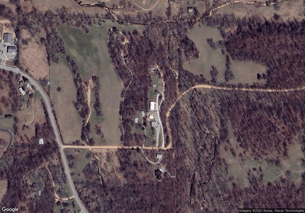
Map
Nearby Homes
- 11054 Arkansas 279
- TBD Bullock Rd
- Tract 3 Pearl Rd
- 12658 Bullock Rd
- 10706 Highway 279
- 10895 Keller Rd
- 13045 Seba Rd
- 3560 Bridger Ln
- 3610 Bridger Ln
- 12923 Galyean Rd
- 3601 Beaverhead Way
- 1511 Josephine Dr
- 1230 Fierce Ln
- 1501 Josephine Dr
- 1510 Tiffany St
- 1040 Sundance Ln
- 1220 Fierce Ln
- 1200 Fierce Ln
- 1500 Tiffany St
- 8860 Sunspire Ln
- 13418 W Pierce Rd
- 13414 W Pierce Rd
- 13422 W Pierce Rd
- 13532 W Pierce Rd
- 13534 W Pierce Rd
- 13417 W Pierce Rd
- 13378 W Pierce Rd
- 11585 Highway 279
- 11643 Highway 279
- 11692 Highway 279
- 11535 Highway 279
- 11689 Highway 279
- 11527 Highway 279
- 11450 Highway 279
- 11543 Highway 279
- 11750 Highway 279
- 11378 Highway 279
- 13427 W Pierce Rd
- AR279 Highway 279 N
- 13431 W Pierce Rd