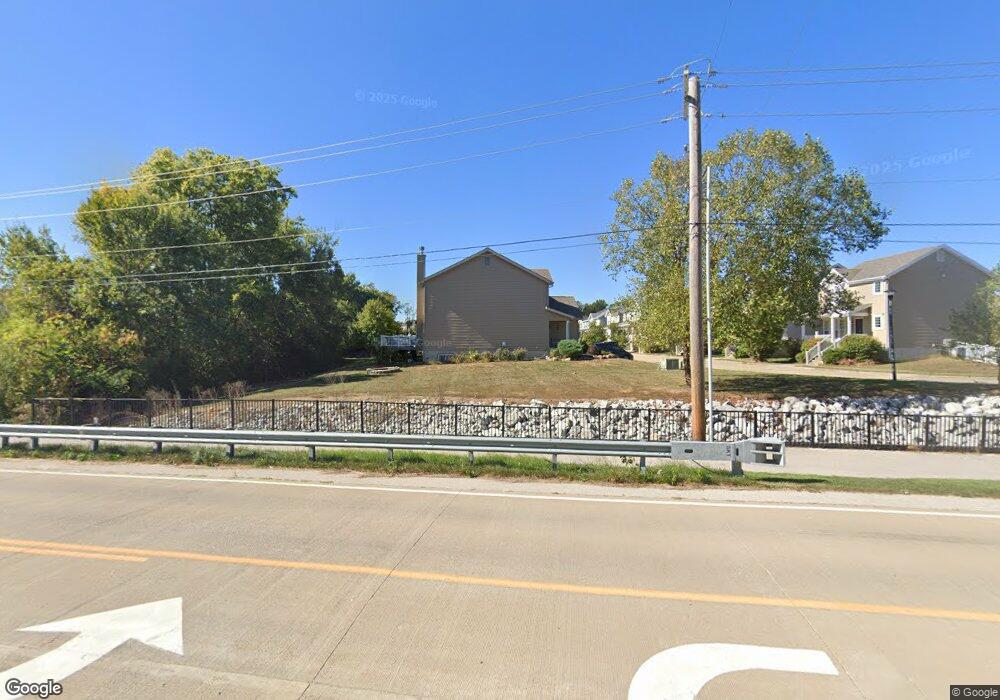
1342 Commons Cir Saint Charles, MO 63304
Estimated Value: $350,951 - $407,000
3
Beds
2
Baths
1,568
Sq Ft
$239/Sq Ft
Est. Value
About This Home
This home is located at 1342 Commons Cir, Saint Charles, MO 63304 and is currently estimated at $374,488, approximately $238 per square foot. 1342 Commons Cir is a home with nearby schools including Warren Elementary School, Saeger Middle School, and Francis Howell Central High School.
Ownership History
Date
Name
Owned For
Owner Type
Purchase Details
Closed on
Oct 16, 2014
Sold by
Mannino Phillip and Mannino Monica
Bought by
City Of Cottleville
Current Estimated Value
Purchase Details
Closed on
Oct 29, 2013
Sold by
Mcbride Colonial Green Llc
Bought by
Mannino Philip and Mannino Monica
Home Financials for this Owner
Home Financials are based on the most recent Mortgage that was taken out on this home.
Original Mortgage
$159,972
Interest Rate
4.25%
Mortgage Type
FHA
Create a Home Valuation Report for This Property
The Home Valuation Report is an in-depth analysis detailing your home's value as well as a comparison with similar homes in the area
Home Values in the Area
Average Home Value in this Area
Purchase History
| Date | Buyer | Sale Price | Title Company |
|---|---|---|---|
| City Of Cottleville | -- | None Available | |
| Mannino Philip | $162,924 | Dependable Title Llc |
Source: Public Records
Mortgage History
| Date | Status | Borrower | Loan Amount |
|---|---|---|---|
| Previous Owner | Mannino Philip | $159,972 |
Source: Public Records
Tax History Compared to Growth
Tax History
| Year | Tax Paid | Tax Assessment Tax Assessment Total Assessment is a certain percentage of the fair market value that is determined by local assessors to be the total taxable value of land and additions on the property. | Land | Improvement |
|---|---|---|---|---|
| 2025 | $3,245 | $58,415 | -- | -- |
| 2023 | $3,244 | $52,106 | $0 | $0 |
| 2022 | $2,902 | $43,230 | $0 | $0 |
| 2021 | $2,905 | $43,230 | $0 | $0 |
| 2020 | $2,543 | $36,574 | $0 | $0 |
| 2019 | $2,532 | $36,574 | $0 | $0 |
| 2018 | $2,555 | $35,256 | $0 | $0 |
| 2017 | $2,535 | $35,256 | $0 | $0 |
| 2016 | $2,257 | $30,150 | $0 | $0 |
| 2015 | $2,225 | $30,150 | $0 | $0 |
| 2014 | $2,356 | $30,956 | $0 | $0 |
Source: Public Records
Map
Nearby Homes
- 1313 Commons Cir
- 8032 Cotswald Trail
- 9113 Camino Trail
- 8019 Cotswald Trail
- Savannah Plan at Cottleville Trails - Traditions Series
- Harbor Plan at Cottleville Trails - Traditions Series
- Shenandoah Plan at Cottleville Trails - Traditions Series
- Redwood II Plan at Cottleville Trails - Traditions Series
- Palmetto Plan at Cottleville Trails - Nature Series
- Thornberry Plan at Cottleville Trails - Traditions Series
- Indigo Plan at Cottleville Trails - Nature Series
- Geneva Plan at Cottleville Trails - Nature Series
- Glacier Plan at Cottleville Trails - Traditions Series
- Serengeti Plan at Cottleville Trails - Nature Series
- Augusta Plan at Cottleville Trails - Nature Series
- Rainier Plan at Cottleville Trails - Traditions Series
- Forest Plan at Cottleville Trails - Nature Series
- Pierce Plan at Cottleville Trails - Heritage Collection
- Braxton Plan at Cottleville Trails - Heritage Collection
- Sierra – Universal Design – Plan at Cottleville Trails - Heritage Collection
- 1340 Commons Cir
- 1343 Commons Cir Unit 1343
- 1336 Commons Cir
- 1338 Commons Cir
- 1345 Commons Cir
- 1341 Commons Cir
- 1339 Commons Cir
- 1334 Commons Circle Lot Unit 1334
- 1334 Commons Cir
- 1337 Commons Cir
- 1334Lot Commons Cir Unit 1334
- 6056 Highway N
- 1332 Commons Cir
- 1335 Commons Cir
- 1403 Colonial Dr
- 414 Moraine Ct
- 1405 Colonial Dr
- 1401 Colonial Dr
- 1407 Colonial Dr
- 1333 Commons Cir