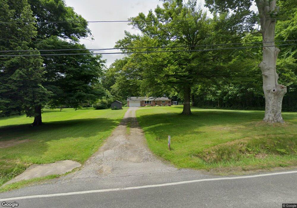
1342 Eastern Rd Rittman, OH 44270
Estimated Value: $262,673 - $304,000
2
Beds
2
Baths
1,120
Sq Ft
$252/Sq Ft
Est. Value
About This Home
This home is located at 1342 Eastern Rd, Rittman, OH 44270 and is currently estimated at $282,418, approximately $252 per square foot. 1342 Eastern Rd is a home located in Wayne County with nearby schools including Hazel Harvey Elementary School, Chippewa Intermediate School, and Chippewa Jr./Sr. High School.
Ownership History
Date
Name
Owned For
Owner Type
Purchase Details
Closed on
May 26, 2000
Sold by
Dye Mckinley H
Bought by
Steele Galen E and Steele Shelly M
Current Estimated Value
Purchase Details
Closed on
Sep 20, 1993
Sold by
Huret Norman B and Huret Norma R
Bought by
Dye Mckinley H and Dye Janice A
Create a Home Valuation Report for This Property
The Home Valuation Report is an in-depth analysis detailing your home's value as well as a comparison with similar homes in the area
Home Values in the Area
Average Home Value in this Area
Purchase History
| Date | Buyer | Sale Price | Title Company |
|---|---|---|---|
| Steele Galen E | $136,000 | -- | |
| Dye Mckinley H | $92,500 | -- |
Source: Public Records
Tax History
| Year | Tax Paid | Tax Assessment Tax Assessment Total Assessment is a certain percentage of the fair market value that is determined by local assessors to be the total taxable value of land and additions on the property. | Land | Improvement |
|---|---|---|---|---|
| 2024 | $2,954 | $85,490 | $18,320 | $67,170 |
| 2023 | $2,969 | $85,490 | $18,320 | $67,170 |
| 2022 | $2,212 | $58,550 | $12,540 | $46,010 |
| 2021 | $2,226 | $58,550 | $12,540 | $46,010 |
| 2020 | $2,242 | $58,550 | $12,540 | $46,010 |
| 2019 | $1,915 | $48,250 | $11,550 | $36,700 |
| 2018 | $1,934 | $48,250 | $11,550 | $36,700 |
| 2017 | $1,889 | $48,250 | $11,550 | $36,700 |
| 2016 | $1,869 | $46,390 | $11,100 | $35,290 |
| 2015 | $1,861 | $46,390 | $11,100 | $35,290 |
| 2014 | $1,674 | $46,390 | $11,100 | $35,290 |
| 2013 | $1,662 | $45,780 | $10,480 | $35,300 |
Source: Public Records
Map
Nearby Homes
- 970 Eastern Rd
- 15580 Rittman Rd
- 14525 Serfass Rd
- 247 Hillside Dr
- 15500 Freedom Dr
- 683 Whippoorwill Ln
- 442 Madison Trail
- 500 W Clinton St
- 0 E Ohio Ave Unit 5118655
- 0 Akron Rd Unit 5123781
- 13290 Mount Eaton Rd
- 595 Jessica Ln
- 442-442 1/2 Main St
- 155 W Walnut St
- V/L approx 67.56ac Gates St
- 22, 23 Gish Rd
- 443 Plum Creek Dr
- 593 Silvercrest Rd
- 242 E Walnut St
- 132 E Sunset Dr
- 1320 Eastern Rd
- 1361 Eastern Rd
- 1371 Eastern Rd
- 1349 Eastern Rd
- 1319 Eastern Rd
- 1305 Eastern Rd
- 1385 Eastern Rd
- 10430 Clear Brook Cir
- 1295 Eastern Rd
- 1395 Eastern Rd
- 1285 Eastern Rd
- 10414 Clear Brook Cir
- 1275 Eastern Rd
- 10423 Clear Brook Cir
- 1265 Eastern Rd
- 10397 Golden Ridge Dr
- 10402 Clear Brook Cir
- 1415 Eastern Rd
- 10389 Golden Ridge Dr
- 1425 Eastern Rd
Your Personal Tour Guide
Ask me questions while you tour the home.