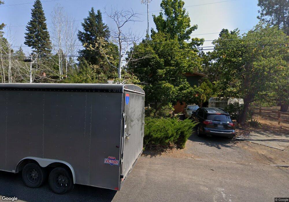
1342 NE 11th St Bend, OR 97701
Orchard District NeighborhoodEstimated Value: $611,478 - $745,000
3
Beds
2
Baths
1,348
Sq Ft
$490/Sq Ft
Est. Value
About This Home
This home is located at 1342 NE 11th St, Bend, OR 97701 and is currently estimated at $660,120, approximately $489 per square foot. 1342 NE 11th St is a home located in Deschutes County with nearby schools including Juniper Elementary School, Pilot Butte Middle School, and Bend Senior High School.
Ownership History
Date
Name
Owned For
Owner Type
Purchase Details
Closed on
Oct 9, 2007
Sold by
Anderson Philip R and Anderson Mary F
Bought by
Anderson Mary F
Current Estimated Value
Create a Home Valuation Report for This Property
The Home Valuation Report is an in-depth analysis detailing your home's value as well as a comparison with similar homes in the area
Home Values in the Area
Average Home Value in this Area
Purchase History
| Date | Buyer | Sale Price | Title Company |
|---|---|---|---|
| Anderson Mary F | -- | None Available |
Source: Public Records
Tax History
| Year | Tax Paid | Tax Assessment Tax Assessment Total Assessment is a certain percentage of the fair market value that is determined by local assessors to be the total taxable value of land and additions on the property. | Land | Improvement |
|---|---|---|---|---|
| 2025 | $3,433 | $203,170 | -- | -- |
| 2024 | $3,303 | $197,260 | -- | -- |
| 2023 | $3,062 | $191,520 | $0 | $0 |
| 2022 | $2,857 | $180,540 | $0 | $0 |
| 2021 | $2,861 | $175,290 | $0 | $0 |
| 2020 | $2,714 | $175,290 | $0 | $0 |
| 2019 | $2,639 | $170,190 | $0 | $0 |
| 2018 | $2,564 | $165,240 | $0 | $0 |
| 2017 | $2,489 | $160,430 | $0 | $0 |
| 2016 | $2,374 | $155,760 | $0 | $0 |
| 2015 | $2,308 | $151,230 | $0 | $0 |
| 2014 | $2,240 | $146,830 | $0 | $0 |
Source: Public Records
Map
Nearby Homes
- 1401 NE 10th St
- 980 NE Norton Ave Unit Lot 8
- 940 NE Norton Ave Unit Lot 4
- 1532 NE 9th St
- 1119 NE 9th St
- 924 NE 9th St
- 832 NE Revere Ave
- 649 NE Kearney Ave
- 566 NE Lafayette Ave Unit 1
- 558 NE Lafayette Ave
- 3843 NE Petrosa Ave
- 468 NE Olney Ave
- 642 NE Seward Ave
- 2109 NE 11th Place
- 513 NE Irving Ave
- 1419 NE Lucinda Ct
- 775 NE Franklin Ave
- 1696 NE Lotus Dr
- 429 NE Irving Ave
- 2154 NE Shepard Rd
- 1352 NE 11th St
- 1349 NE 12th St
- 1333 NE 11th St
- 1331 NE 12th St
- 1323 NE 11th St
- 1351 NE 11th St
- 1254 NE 11th St
- 1307 NE 11th St
- 1330 NE 12th St
- 1132 NE Norton Ave
- 1414 NE 11th St
- 1338 NE 10th St
- 1320 NE 12th St
- 1261 NE 11th St
- 1146 NE Norton Ave
- 1350 NE 10th St
- 1316 NE 10th St
- 1240 NE 11th St
- 1304 NE 12th St
Your Personal Tour Guide
Ask me questions while you tour the home.