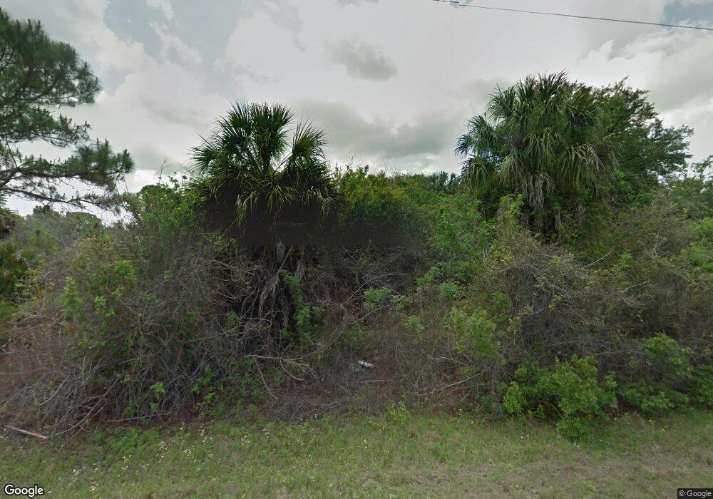
13421 Markham Ave Port Charlotte, FL 33953
Northwest Port Charlotte NeighborhoodEstimated Value: $104,000 - $303,000
--
Bed
--
Bath
--
Sq Ft
10,019
Sq Ft Lot
About This Home
This home is located at 13421 Markham Ave, Port Charlotte, FL 33953 and is currently estimated at $168,181. 13421 Markham Ave is a home located in Charlotte County with nearby schools including Liberty Elementary School, Murdock Middle School, and Port Charlotte High School.
Ownership History
Date
Name
Owned For
Owner Type
Purchase Details
Closed on
Jun 10, 2013
Sold by
Land Investors Corporation
Bought by
Eric Delgery Pascale and Eric Rouqvette
Current Estimated Value
Purchase Details
Closed on
Apr 4, 2013
Sold by
Full Throttle Properties Llc
Bought by
Prime Canalfront Properties Ltd
Purchase Details
Closed on
May 11, 2012
Sold by
Campo Jonathan and Bank Of America Na
Bought by
Full Throttle Properties Llc
Purchase Details
Closed on
Feb 8, 2002
Sold by
Trp Raymond M and Trp Grace P
Bought by
Mccreary James H
Create a Home Valuation Report for This Property
The Home Valuation Report is an in-depth analysis detailing your home's value as well as a comparison with similar homes in the area
Home Values in the Area
Average Home Value in this Area
Purchase History
| Date | Buyer | Sale Price | Title Company |
|---|---|---|---|
| Eric Delgery Pascale | $82,500 | Florida Abstract & Security | |
| Prime Canalfront Properties Ltd | $34,500 | Florida Abstract & Security | |
| Full Throttle Properties Llc | $31,200 | None Available | |
| Mccreary James H | $37,500 | -- |
Source: Public Records
Tax History Compared to Growth
Tax History
| Year | Tax Paid | Tax Assessment Tax Assessment Total Assessment is a certain percentage of the fair market value that is determined by local assessors to be the total taxable value of land and additions on the property. | Land | Improvement |
|---|---|---|---|---|
| 2023 | $1,266 | $39,906 | $0 | $0 |
| 2022 | $1,169 | $61,200 | $61,200 | $0 |
| 2021 | $975 | $32,980 | $32,980 | $0 |
| 2020 | $970 | $32,980 | $32,980 | $0 |
| 2019 | $1,065 | $38,420 | $38,420 | $0 |
| 2018 | $1,281 | $54,400 | $54,400 | $0 |
| 2017 | $1,245 | $54,400 | $54,400 | $0 |
| 2016 | $1,147 | $44,200 | $0 | $0 |
| 2015 | $1,161 | $44,200 | $0 | $0 |
| 2014 | $1,063 | $44,200 | $0 | $0 |
Source: Public Records
Map
Nearby Homes
- 13328 Palau Cir
- 13301 Palau Cir
- 13336 Palau Cir
- 13325 Palau Cir
- 13485 Markham Ave
- 13449 Palau Cir
- 1243 Grendon St
- 1296 Jacobs St
- 1509 Mc Hugh St
- 1467 & 1475 Bullene St
- 1273 Casper St
- 1311 Friar St
- 14015 Lumidor Ave
- 1476 Mottley St
- 1228 Casper St
- 0 Casper St
- 1264 Jacobs St
- 1259 Keesler St
- 1468 Bullene St
- 14028 Alabama Ave
- 13429 Markham Ave
- 13413 Markham Ave
- 13437 Markham Ave
- 13401 Markham Ave
- 1316 Grendon St
- 13375 Palau Cir
- 13445 Markham Ave
- 13357 Palau Cir
- 1307 Grendon St
- 1312 Casper St
- 13349 Palau Cir
- 13453 Markham Ave
- 13341 Palau Cir
- 1302 Casper St
- 1301 Casper St
- 13387 Palau Cir
- 13480 Palau Cir
- 13301 Palau Cir Unit 16
- 13429 Palau Cir
- 13456 Palau Cir