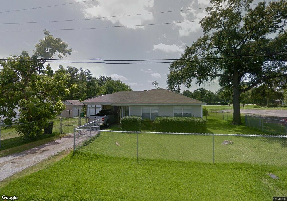
13422 Mobile St Houston, TX 77015
North Shore NeighborhoodEstimated Value: $150,000 - $183,569
3
Beds
1
Bath
1,111
Sq Ft
$154/Sq Ft
Est. Value
About This Home
This home is located at 13422 Mobile St, Houston, TX 77015 and is currently estimated at $171,142, approximately $154 per square foot. 13422 Mobile St is a home located in Harris County with nearby schools including Cimarron Elementary School, Cobb 6th Grade Campus, and North Shore Middle School.
Ownership History
Date
Name
Owned For
Owner Type
Purchase Details
Closed on
Mar 10, 2025
Sold by
Delvige Will R and Nichols Sara A
Bought by
Torrico Timothy
Current Estimated Value
Purchase Details
Closed on
Oct 21, 2024
Sold by
Delvige Melvin B
Bought by
Delvige Will R and Nichols Sara A
Purchase Details
Closed on
Nov 13, 2009
Sold by
Delvige Billye Jean
Bought by
Delvige Melvin Boyd
Purchase Details
Closed on
Nov 2, 2006
Sold by
Delvige Darrel
Bought by
Delvige Billye Jean
Purchase Details
Closed on
Aug 23, 1995
Sold by
Delvige Jean
Bought by
Delvige Darrel and Gay Edward M
Create a Home Valuation Report for This Property
The Home Valuation Report is an in-depth analysis detailing your home's value as well as a comparison with similar homes in the area
Home Values in the Area
Average Home Value in this Area
Purchase History
| Date | Buyer | Sale Price | Title Company |
|---|---|---|---|
| Torrico Timothy | -- | None Listed On Document | |
| Delvige Will R | -- | None Listed On Document | |
| Delvige Melvin Boyd | -- | None Available | |
| Delvige Billye Jean | -- | None Available | |
| Delvige Darrel | -- | -- |
Source: Public Records
Tax History Compared to Growth
Tax History
| Year | Tax Paid | Tax Assessment Tax Assessment Total Assessment is a certain percentage of the fair market value that is determined by local assessors to be the total taxable value of land and additions on the property. | Land | Improvement |
|---|---|---|---|---|
| 2025 | $2,661 | $183,577 | $87,360 | $96,217 |
| 2024 | $2,661 | $181,840 | $87,360 | $94,480 |
| 2023 | $2,661 | $205,638 | $76,440 | $129,198 |
| 2022 | $2,674 | $171,458 | $65,520 | $105,938 |
| 2021 | $2,612 | $142,408 | $46,956 | $95,452 |
| 2020 | $2,429 | $125,818 | $46,956 | $78,862 |
| 2019 | $2,012 | $102,133 | $42,588 | $59,545 |
| 2018 | $380 | $61,466 | $23,478 | $37,988 |
| 2017 | $1,824 | $61,466 | $23,478 | $37,988 |
| 2016 | $1,809 | $61,466 | $23,478 | $37,988 |
| 2015 | $978 | $56,140 | $23,478 | $32,662 |
| 2014 | $978 | $50,381 | $23,478 | $26,903 |
Source: Public Records
Map
Nearby Homes
- 13362 Emporia St
- 13430 Orleans St
- 13331 Emporia St
- 13505 Orleans St
- 13430 Duluth St
- 13434 Duluth St
- 1035 Nadolney St
- 13326 Joliet St
- 13522 Boise St
- 13842 Laredo St
- 13122 Emporia St
- 13346 Louisville St
- 13379 Louisville St
- 13218 Indianapolis St
- 13210 Rockglen St
- 13350 Granada St
- TBD Gainesville St
- 13529 Granada St
- 505 Evanston St
- 806 Westmont Dr
- 13430 Mobile St
- 946 Kokomo St
- 13434 Mobile St
- 13438 Mobile St
- 920 Kokomo St
- 938 Kokomo St
- 13442 Mobile St
- 970 Kokomo St
- 934 Kokomo St
- 13446 Mobile St
- 13510 Rochester St
- 1006 Kokomo St
- 13383 Mobile St
- 13378 Knollcrest St Unit 1
- 1010 Kokomo St
- 13379 Mobile St
- 13514 Rochester St
- 933 Kokomo St
- 13502 Sacramento St
- 924 Kokomo St