13422 State Route 576 Montpelier, OH 43543
Estimated Value: $262,000 - $486,190
3
Beds
2
Baths
1,385
Sq Ft
$251/Sq Ft
Est. Value
About This Home
This home is located at 13422 State Route 576, Montpelier, OH 43543 and is currently estimated at $347,063, approximately $250 per square foot. 13422 State Route 576 is a home located in Williams County with nearby schools including Montpelier Elementary School and Montpelier High School.
Ownership History
Date
Name
Owned For
Owner Type
Purchase Details
Closed on
Feb 24, 2023
Sold by
Debruyne Marc and Debruyne Sandra
Bought by
Vetter Hans and Vetter Martha
Current Estimated Value
Purchase Details
Closed on
Oct 7, 2016
Sold by
Drop Tine Acres Llc
Bought by
Debruyne Marc and Debruyne Sandra
Purchase Details
Closed on
Feb 10, 2010
Sold by
Croft Harry E and Croft Rachelle D
Bought by
Drop Tine Acres Llc
Home Financials for this Owner
Home Financials are based on the most recent Mortgage that was taken out on this home.
Original Mortgage
$88,000
Interest Rate
5.11%
Mortgage Type
Future Advance Clause Open End Mortgage
Purchase Details
Closed on
Jan 6, 1999
Sold by
Rupp Denver B and Rupp Ruth A
Bought by
Croft Harry E and Croft Rachelle D
Purchase Details
Closed on
Jan 30, 1992
Bought by
Rupp Denver B and Rupp Ruth A
Create a Home Valuation Report for This Property
The Home Valuation Report is an in-depth analysis detailing your home's value as well as a comparison with similar homes in the area
Home Values in the Area
Average Home Value in this Area
Purchase History
| Date | Buyer | Sale Price | Title Company |
|---|---|---|---|
| Vetter Hans | -- | -- | |
| Vetter Hans | -- | None Listed On Document | |
| Debruyne Marc | -- | None Available | |
| Drop Tine Acres Llc | $112,000 | None Available | |
| Croft Harry E | $75,000 | -- | |
| Rupp Denver B | $19,500 | -- |
Source: Public Records
Mortgage History
| Date | Status | Borrower | Loan Amount |
|---|---|---|---|
| Previous Owner | Drop Tine Acres Llc | $88,000 |
Source: Public Records
Tax History Compared to Growth
Tax History
| Year | Tax Paid | Tax Assessment Tax Assessment Total Assessment is a certain percentage of the fair market value that is determined by local assessors to be the total taxable value of land and additions on the property. | Land | Improvement |
|---|---|---|---|---|
| 2024 | $3,535 | $99,820 | $21,000 | $78,820 |
| 2023 | $3,535 | $69,310 | $17,260 | $52,050 |
| 2022 | $2,696 | $69,310 | $17,260 | $52,050 |
| 2021 | $2,693 | $69,310 | $17,260 | $52,050 |
| 2020 | $2,322 | $57,510 | $14,140 | $43,370 |
| 2019 | $2,307 | $57,510 | $14,140 | $43,370 |
| 2018 | $2,307 | $57,510 | $14,140 | $43,370 |
| 2017 | $588 | $14,390 | $12,500 | $1,890 |
| 2016 | $962 | $14,390 | $12,500 | $1,890 |
| 2015 | $962 | $24,470 | $12,500 | $11,970 |
| 2014 | $1,435 | $34,550 | $12,500 | $22,050 |
| 2013 | $1,442 | $34,550 | $12,500 | $22,050 |
Source: Public Records
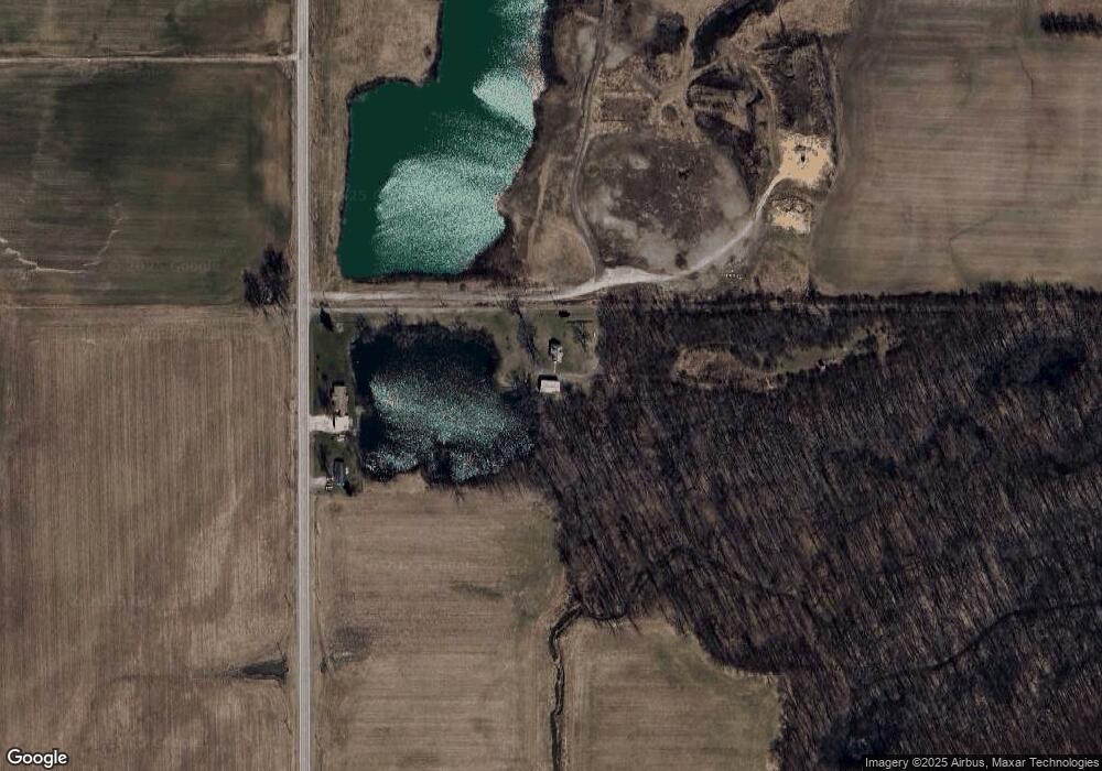
Map
Nearby Homes
- 426 E Water St
- 207 E Main St
- 212 S Pleasant St
- 620 E Washington St
- 402 Empire St
- 612 S Pleasant St
- 500 E Court St
- 9701 State Route 107
- 1454 Whitaker Way
- 420 Steuben St
- 0 John Ave Unit 6131803
- 1413 Maplehurst Ave
- 1401 Maplehurst Ave
- 13 W Brown Rd
- 00 W Brown Rd
- 802 W Brown Rd
- 0 Frank St
- 1533 Maplehurst Ave
- 1529 Maplehurst Ave
- 1525 Maplehurst Ave
- 13422 Ohio 576
- 13390 State Route 576
- 13352 State Route 576
- 760 W Brown Rd
- 702 W Brown Rd
- 13124 State Route 576
- 13719 County Road 11
- 11030 County Road M
- 11114 County Road M
- 11160 County Road M
- 11160 Cr M
- 11276 County Road M
- 12954 State Route 576
- 10839 County Road M
- 13813 Cr 11
- 11218 County Road M
- 13813 County Road 11
- 12906 State Route 576
- 12871 State Route 576
- 12871 N Sr 576