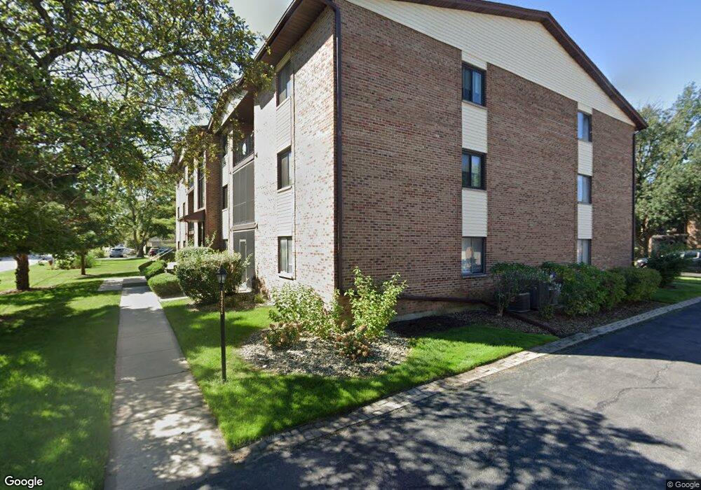
13422 W Circle Dr Unit 403 Crestwood, IL 60445
Estimated Value: $158,340 - $193,000
2
Beds
2
Baths
1,000
Sq Ft
$181/Sq Ft
Est. Value
About This Home
This home is located at 13422 W Circle Dr Unit 403, Crestwood, IL 60445 and is currently estimated at $181,335, approximately $181 per square foot. 13422 W Circle Dr Unit 403 is a home located in Cook County with nearby schools including Nathan Hale Primary School, Nathan Hale Intermediate School, and Nathan Hale Middle School.
Ownership History
Date
Name
Owned For
Owner Type
Purchase Details
Closed on
Apr 30, 2004
Sold by
Lett Carol W
Bought by
Tenerelli Phillip A
Current Estimated Value
Home Financials for this Owner
Home Financials are based on the most recent Mortgage that was taken out on this home.
Original Mortgage
$128,155
Outstanding Balance
$62,150
Interest Rate
5.99%
Mortgage Type
Unknown
Estimated Equity
$119,185
Purchase Details
Closed on
Oct 19, 1993
Sold by
Douglas Timothy B and Douglas Cynthia R
Bought by
Lett Carol W
Home Financials for this Owner
Home Financials are based on the most recent Mortgage that was taken out on this home.
Original Mortgage
$26,000
Interest Rate
6.93%
Create a Home Valuation Report for This Property
The Home Valuation Report is an in-depth analysis detailing your home's value as well as a comparison with similar homes in the area
Home Values in the Area
Average Home Value in this Area
Purchase History
| Date | Buyer | Sale Price | Title Company |
|---|---|---|---|
| Tenerelli Phillip A | $135,000 | Atgf Inc | |
| Lett Carol W | $59,333 | -- |
Source: Public Records
Mortgage History
| Date | Status | Borrower | Loan Amount |
|---|---|---|---|
| Open | Tenerelli Phillip A | $128,155 | |
| Previous Owner | Lett Carol W | $26,000 |
Source: Public Records
Tax History Compared to Growth
Tax History
| Year | Tax Paid | Tax Assessment Tax Assessment Total Assessment is a certain percentage of the fair market value that is determined by local assessors to be the total taxable value of land and additions on the property. | Land | Improvement |
|---|---|---|---|---|
| 2024 | $1,640 | $11,454 | $1,141 | $10,313 |
| 2023 | $881 | $11,454 | $1,141 | $10,313 |
| 2022 | $881 | $8,620 | $1,349 | $7,271 |
| 2021 | $888 | $8,618 | $1,348 | $7,270 |
| 2020 | $1,835 | $8,618 | $1,348 | $7,270 |
| 2019 | $2,934 | $12,074 | $1,244 | $10,830 |
| 2018 | $2,809 | $12,074 | $1,244 | $10,830 |
| 2017 | $2,920 | $12,074 | $1,244 | $10,830 |
| 2016 | $2,434 | $9,443 | $1,037 | $8,406 |
| 2015 | $2,352 | $9,443 | $1,037 | $8,406 |
| 2014 | $2,320 | $9,443 | $1,037 | $8,406 |
| 2013 | $2,415 | $10,448 | $1,037 | $9,411 |
Source: Public Records
Map
Nearby Homes
- 13426 W Circle Dr Unit 302
- 13422 W Circle Dr Unit 401
- 4959 134th Place Unit 2C
- 4955 134th Place Unit 2A
- 4955 134th Place Unit 3B
- 4930 134th Ct Unit 312
- 13300 W Circle Drive Pkwy Unit G222
- 13540 Lawler Ave Unit 83
- 4920 134th Ct Unit 206
- 4920 134th Ct Unit 205
- 13515 Le Claire Ave Unit 56
- 13520 Lawler Ave Unit 42
- 4931 E Circle Dr Unit 103
- 13537 Latrobe Ave Unit 7
- 13231 E Playfield Dr
- 13535 Lamon Ave Unit 112
- 5400 135th St Unit 5406
- 5400 135th St Unit 5404
- 13706 Crestview Ct
- 13635 Lamon Ave Unit A21
- 13422 W Circle Dr Unit G414
- 13422 W Circle Dr Unit 408
- 13422 W Circle Dr Unit G413
- 13422 W Circle Dr Unit 406
- 13422 W Circle Dr Unit 402
- 13422 W Circle Dr Unit 411
- 13422 W Circle Dr Unit G319
- 13422 W Circle Dr Unit 412
- 13422 W Circle Dr Unit 408
- 13422 W Circle Dr Unit 409
- 13422 W Circle Dr Unit G423
- 13422 W Circle Dr Unit G424
- 13422 W Circle Dr Unit G422
- 13422 W Circle Dr Unit G418
- 13422 W Circle Dr Unit 410
- 13422 W Circle Dr Unit 407
- 13422 W Circle Dr Unit 405
- 13422 W Circle Dr Unit G420
- 13422 W Circle Dr Unit G419
- 13422 W Circle Dr Unit G416