13424 High Sierra Blvd Edmond, OK 73013
Chisholm NeighborhoodEstimated Value: $1,312,630 - $1,877,000
5
Beds
6
Baths
3,980
Sq Ft
$406/Sq Ft
Est. Value
About This Home
This home is located at 13424 High Sierra Blvd, Edmond, OK 73013 and is currently estimated at $1,614,658, approximately $405 per square foot. 13424 High Sierra Blvd is a home located in Oklahoma County with nearby schools including Chisholm Elementary School, Cimarron Middle School, and Memorial High School.
Ownership History
Date
Name
Owned For
Owner Type
Purchase Details
Closed on
Dec 2, 2008
Sold by
Khajehnouri Mehraban and Khajehnouri Taraneh
Bought by
Khajehnouri Mehraban and Khajehnouri Family Trust
Current Estimated Value
Purchase Details
Closed on
Dec 23, 2004
Sold by
Tortorici Troy Anthony and Tortorici Jennifer Lynn
Bought by
Khajehnouri Mehraban and Khajehnouri Tara
Purchase Details
Closed on
Jul 6, 1999
Sold by
High Chaparral Development Company Inc
Bought by
Tortorici Troy Anthony and Tortorici Jennifer Lynn
Create a Home Valuation Report for This Property
The Home Valuation Report is an in-depth analysis detailing your home's value as well as a comparison with similar homes in the area
Home Values in the Area
Average Home Value in this Area
Purchase History
| Date | Buyer | Sale Price | Title Company |
|---|---|---|---|
| Khajehnouri Mehraban | -- | None Available | |
| Khajehnouri Mehraban | $1,175,000 | Lawyers Title Of Ok City Inc | |
| Tortorici Troy Anthony | $64,000 | -- |
Source: Public Records
Tax History Compared to Growth
Tax History
| Year | Tax Paid | Tax Assessment Tax Assessment Total Assessment is a certain percentage of the fair market value that is determined by local assessors to be the total taxable value of land and additions on the property. | Land | Improvement |
|---|---|---|---|---|
| 2024 | $17,695 | $156,106 | $42,483 | $113,623 |
| 2023 | $17,695 | $148,673 | $40,706 | $107,967 |
| 2022 | $17,005 | $141,593 | $44,762 | $96,831 |
| 2021 | $16,031 | $134,851 | $47,057 | $87,794 |
| 2020 | $15,494 | $128,430 | $44,816 | $83,614 |
| 2019 | $14,839 | $122,314 | $45,955 | $76,359 |
| 2018 | $14,219 | $116,490 | $0 | $0 |
| 2017 | $14,012 | $115,499 | $38,721 | $76,778 |
| 2016 | $13,271 | $109,999 | $39,533 | $70,466 |
| 2015 | $17,335 | $142,875 | $39,533 | $103,342 |
| 2014 | $20,023 | $165,455 | $48,988 | $116,467 |
Source: Public Records
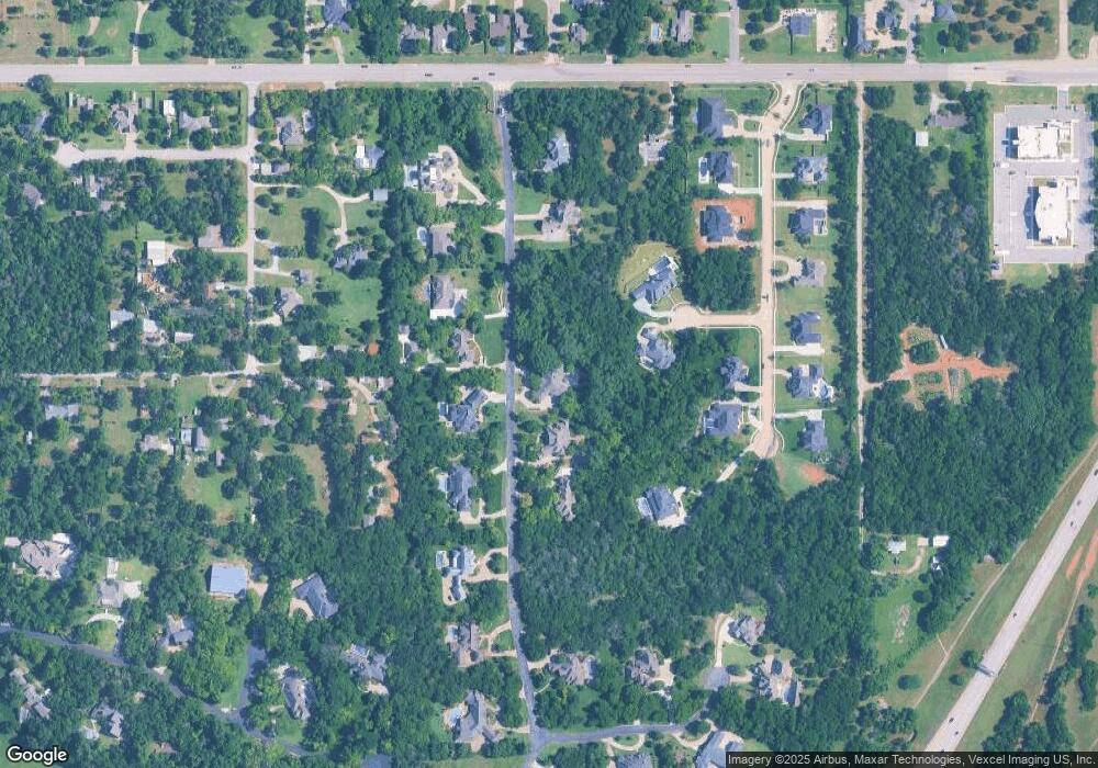
Map
Nearby Homes
- 13221 High Sierra Blvd
- 13304 Red Hill Ln
- 3500 E 44th St
- 4200 Oakdale Farm Cir
- 21 Oakdale Farm Cir
- 4200 Interstate 35
- 4405 NE 125th Ct
- 4101 Oakdale Farm Cir
- 13817 Crest Glen Rd
- 4004 Oakdale Farm Cir
- 4108 NE 141st St
- 4100 Oakdale Forest Rd
- 3608 Ridgewood Dr
- 3812 NE 140th Terrace Cir
- 4005 NE 122nd St
- 3400 Barberry Ct
- 3605 NE 141st Ct
- 4000 E 32nd St
- 3820 Old Forest Ln
- 3512 Lytal Ln
- 13412 High Sierra Blvd
- 0 High Sierra Blvd
- 13501 High Sierra Blvd
- 13400 High Sierra Blvd
- 13411 High Sierra Blvd
- 13517 High Sierra Blvd
- 13401 High Sierra Blvd
- 13530 High Sierra Blvd
- 13407 Old Iron Rd
- 5000 E Memorial Rd
- 13417 Old Iron Rd
- 13525 High Sierra Blvd
- 13401 Old Iron Rd
- 13301 High Sierra Blvd
- 13600 Tanglewood Dr
- 4926 Tanglewood Dr
- 13600 High Sierra Blvd
- 13616 Tanglewood Dr
- 13601 High Sierra Blvd
- 13416 Old Iron Rd