13428 Buffalo Trace Rd NE Palmyra, IN 47164
Estimated Value: $169,000 - $207,000
3
Beds
1
Bath
1,026
Sq Ft
$184/Sq Ft
Est. Value
About This Home
This home is located at 13428 Buffalo Trace Rd NE, Palmyra, IN 47164 and is currently estimated at $188,423, approximately $183 per square foot. 13428 Buffalo Trace Rd NE is a home located in Harrison County with nearby schools including North Harrison High School.
Ownership History
Date
Name
Owned For
Owner Type
Purchase Details
Closed on
Apr 26, 2010
Sold by
Whittaker Leasing Llc
Bought by
Dehn Angela R and Dehn Michael W
Current Estimated Value
Purchase Details
Closed on
Jan 19, 2010
Sold by
L&N Union
Bought by
Whittaker Leasing Llc
Purchase Details
Closed on
Jun 17, 2009
Sold by
Michael Deatrick
Bought by
Janice Philpott
Create a Home Valuation Report for This Property
The Home Valuation Report is an in-depth analysis detailing your home's value as well as a comparison with similar homes in the area
Home Values in the Area
Average Home Value in this Area
Purchase History
| Date | Buyer | Sale Price | Title Company |
|---|---|---|---|
| Dehn Angela R | $84,000 | Mull & Heinz Llc | |
| Whittaker Leasing Llc | $62,500 | Davis Davis & Layson | |
| Janice Philpott | -- | Mapother & Mapother, P.S.C. |
Source: Public Records
Tax History Compared to Growth
Tax History
| Year | Tax Paid | Tax Assessment Tax Assessment Total Assessment is a certain percentage of the fair market value that is determined by local assessors to be the total taxable value of land and additions on the property. | Land | Improvement |
|---|---|---|---|---|
| 2024 | $955 | $165,500 | $45,000 | $120,500 |
| 2023 | $800 | $151,000 | $40,000 | $111,000 |
| 2022 | $730 | $136,000 | $30,000 | $106,000 |
| 2021 | $647 | $124,400 | $30,000 | $94,400 |
| 2020 | $546 | $110,500 | $25,000 | $85,500 |
| 2019 | $494 | $105,100 | $22,500 | $82,600 |
| 2018 | $437 | $98,300 | $22,500 | $75,800 |
| 2017 | $390 | $95,400 | $22,500 | $72,900 |
| 2016 | $486 | $109,100 | $22,500 | $86,600 |
| 2014 | $385 | $100,000 | $20,000 | $80,000 |
| 2013 | $385 | $94,800 | $19,200 | $75,600 |
Source: Public Records
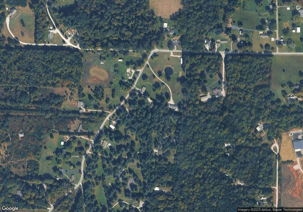
Map
Nearby Homes
- 13520 Green (Chevy Dr)
- 835 Hunters Rd NE
- 657 Heuser St NE
- 930 Church St
- 831 Main St NE
- 902 Coleman St NE
- 14095 N Martin Mathis Rd NE
- 2010 Old East Rd NE
- 1260 County Line Rd NE
- 2300 Old East Rd NE
- 0 Tree Dr NW Unit 202508915
- 3485 E Bradford Rd NE
- 1308 Cemetery Rd NE
- 8960 Turkey Farm Rd NW
- 9370 Oak Park Rd NE
- 470 W Whiskey Run Rd NE
- 0000 S Big Springs Rd
- off W Side Buffalo Trace Rd
- off S Side Buffalo Trace Rd
- 0 Eagle Point Dr NE Unit 17 202507515
- 13412 Buffalo Trace Rd NE
- 13350 Buffalo Trace Rd NE
- 13474 Buffalo Trace Rd NE
- 0 Buffalo Trace Rd Unit 202106241
- 0 Buffalo Trace Rd Unit (12.282 Acres)
- 0 Buffalo Trace Rd
- 13320 Buffalo Trace Rd NE
- 13465 Buffalo Trace Rd NE
- 13306 Buffalo Trace Rd NE
- 13310 Buffalo Trace Rd NE
- 13620 Buffalo Trace Rd NE
- 13555 Buffalo Trace Rd NE
- 13555 Buffalo Trace Rd NE
- 13268 Buffalo Trace Rd NE
- 13515 Buffalo Trace Rd NE
- 13615 Buffalo Trace Rd NE
- 13635 Buffalo Trace Rd NE
- 13305 Buffalo Trace Rd NE
- 13695 Buffalo Trace Rd NE
- 210 Ez Acres Ln NE