Estimated Value: $324,761 - $605,000
--
Bed
--
Bath
--
Sq Ft
6,011
Sq Ft Lot
About This Home
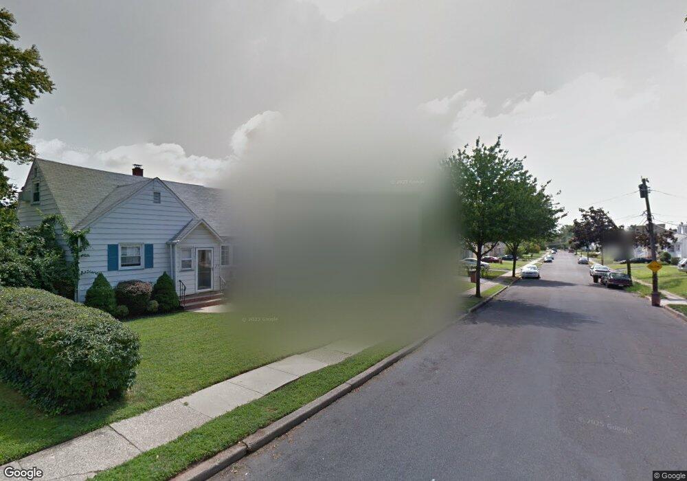
This home is located at 1343 Amherst Ave, Union, NJ 07083 and is currently estimated at $517,940. 1343 Amherst Ave is a home located in Union County with nearby schools including Franklin Elementary School, Burnet Middle School, and Union High School.
Ownership History
Date
Name
Owned For
Owner Type
Purchase Details
Closed on
Oct 24, 1996
Sold by
Balsamo Josephine P and Balsamo Michael
Bought by
Emelle Emanuel and Emelle Chinyere
Current Estimated Value
Home Financials for this Owner
Home Financials are based on the most recent Mortgage that was taken out on this home.
Original Mortgage
$159,600
Outstanding Balance
$14,667
Interest Rate
8.1%
Estimated Equity
$503,273
Create a Home Valuation Report for This Property
The Home Valuation Report is an in-depth analysis detailing your home's value as well as a comparison with similar homes in the area
Home Values in the Area
Average Home Value in this Area
Purchase History
| Date | Buyer | Sale Price | Title Company |
|---|---|---|---|
| Emelle Emanuel | $168,000 | -- |
Source: Public Records
Mortgage History
| Date | Status | Borrower | Loan Amount |
|---|---|---|---|
| Open | Emelle Emanuel | $159,600 |
Source: Public Records
Tax History Compared to Growth
Tax History
| Year | Tax Paid | Tax Assessment Tax Assessment Total Assessment is a certain percentage of the fair market value that is determined by local assessors to be the total taxable value of land and additions on the property. | Land | Improvement |
|---|---|---|---|---|
| 2025 | $10,214 | $45,700 | $21,100 | $24,600 |
| 2024 | $9,903 | $45,700 | $21,100 | $24,600 |
| 2023 | $9,903 | $45,700 | $21,100 | $24,600 |
| 2022 | $9,559 | $45,700 | $21,100 | $24,600 |
| 2021 | $9,327 | $45,700 | $21,100 | $24,600 |
| 2020 | $9,141 | $45,700 | $21,100 | $24,600 |
| 2019 | $9,018 | $45,700 | $21,100 | $24,600 |
| 2018 | $8,864 | $45,700 | $21,100 | $24,600 |
| 2017 | $8,733 | $45,700 | $21,100 | $24,600 |
| 2016 | $8,520 | $45,700 | $21,100 | $24,600 |
| 2015 | $8,379 | $45,700 | $21,100 | $24,600 |
| 2014 | $8,191 | $45,700 | $21,100 | $24,600 |
Source: Public Records
Map
Nearby Homes
- 1764 Colgate Place
- 112 Apple Tree Ln
- 1535 Gregory Ave
- 1534 Julian Terrace
- 1848 Portsmouth Way
- 1871 Pilgrim Way
- 1893 Arbor Ln
- 1287 Oxford Ln
- 35 Eastern Pkwy
- 1239 Victor Ave
- 1552 Elaine Terrace
- 142 Eastern Pkwy
- 1263 Coolidge Ave
- 1267 Erhardt St
- 286 Mclean Place
- 152 Glenwood Ct
- 2021 Tyler St
- 617 Tillman St
- 1329 Camden Ct
- 1244 Grandview Ave
- 1347 Amherst Ave
- 1337 Amherst Ave
- 296 Parkside Dr
- 1333 Amherst Ave
- 1604 Union Ave
- 292 Parkside Dr
- 1353 Amherst Ave
- 1340 Amherst Ave
- 1344 Amherst Ave
- 1600 Union Ave
- 300 Parkside Dr
- 288 Parkside Dr
- 1336 Amherst Ave
- 1329 Amherst Ave
- 1350 Amherst Ave
- 1330 Amherst Ave
- 284 Parkside Dr
- 1730 Union Ave
- 1323 Amherst Ave
- 105 Parkside Dr