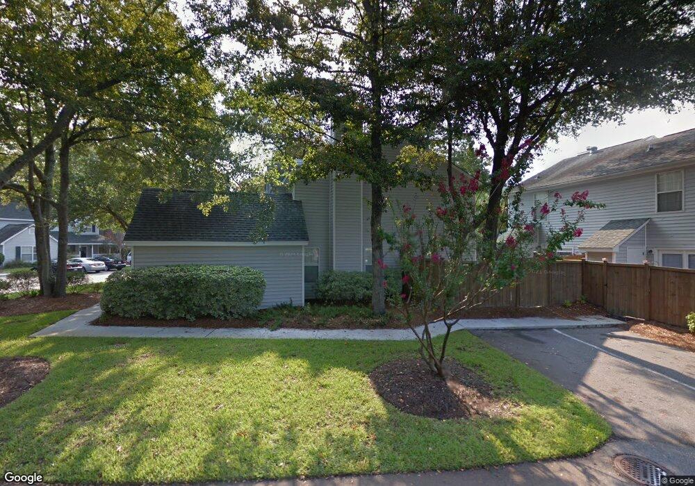
1343 Cassidy Ct Unit 1346A Mount Pleasant, SC 29464
Rifle Range NeighborhoodEstimated Value: $485,000 - $625,622
3
Beds
2
Baths
1,314
Sq Ft
$427/Sq Ft
Est. Value
About This Home
This home is located at 1343 Cassidy Ct Unit 1346A, Mount Pleasant, SC 29464 and is currently estimated at $560,906, approximately $426 per square foot. 1343 Cassidy Ct Unit 1346A is a home located in Charleston County with nearby schools including Mamie Whitesides Elementary School, Moultrie Middle School, and Lucy Garrett Beckham High School.
Ownership History
Date
Name
Owned For
Owner Type
Purchase Details
Closed on
Jun 23, 2022
Sold by
Jane Hynes Mary
Bought by
Dragon Point Property Investments Llc
Current Estimated Value
Purchase Details
Closed on
Aug 13, 2010
Sold by
Cook Robert B and Cook Suzanne M
Bought by
Hynes Mary Jane
Home Financials for this Owner
Home Financials are based on the most recent Mortgage that was taken out on this home.
Original Mortgage
$35,000
Interest Rate
4.6%
Mortgage Type
New Conventional
Purchase Details
Closed on
Jul 28, 2006
Sold by
Rf Ii Llc
Bought by
Cook Robert B and Cook Suzanne M
Purchase Details
Closed on
Sep 2, 2005
Sold by
Rf Llc
Bought by
Rf Ii Llc
Purchase Details
Closed on
Aug 17, 2005
Sold by
Remington Forest Inc
Bought by
Rf Llc
Purchase Details
Closed on
Feb 7, 2005
Sold by
Rf Inc
Bought by
Rf Llc
Create a Home Valuation Report for This Property
The Home Valuation Report is an in-depth analysis detailing your home's value as well as a comparison with similar homes in the area
Home Values in the Area
Average Home Value in this Area
Purchase History
| Date | Buyer | Sale Price | Title Company |
|---|---|---|---|
| Dragon Point Property Investments Llc | $525,000 | -- | |
| Hynes Mary Jane | $238,000 | -- | |
| Cook Robert B | $280,000 | None Available | |
| Rf Ii Llc | -- | -- | |
| Rf Llc | -- | -- | |
| Rf Llc | -- | -- |
Source: Public Records
Mortgage History
| Date | Status | Borrower | Loan Amount |
|---|---|---|---|
| Previous Owner | Hynes Mary Jane | $35,000 | |
| Closed | Rf Llc | -- |
Source: Public Records
Tax History Compared to Growth
Tax History
| Year | Tax Paid | Tax Assessment Tax Assessment Total Assessment is a certain percentage of the fair market value that is determined by local assessors to be the total taxable value of land and additions on the property. | Land | Improvement |
|---|---|---|---|---|
| 2024 | $7,968 | $31,500 | $0 | $0 |
| 2023 | $7,968 | $31,500 | $0 | $0 |
| 2022 | $1,061 | $10,670 | $0 | $0 |
| 2021 | $1,159 | $10,670 | $0 | $0 |
| 2020 | $1,196 | $10,670 | $0 | $0 |
| 2019 | $1,053 | $9,280 | $0 | $0 |
| 2017 | $1,039 | $9,280 | $0 | $0 |
| 2016 | $992 | $9,280 | $0 | $0 |
| 2015 | $1,034 | $9,280 | $0 | $0 |
| 2014 | $909 | $0 | $0 | $0 |
| 2011 | -- | $0 | $0 | $0 |
Source: Public Records
Map
Nearby Homes
- 1242 Schirmer St
- 1228 Penny Cir
- 137 Bratton Cir
- 952 McCants Dr
- 1416 Glencoe Dr
- 1288 Old Colony Rd
- 1116 Sea Island Crossing Ln
- 1107 Port Harbor Ct
- 922 Kincade Dr
- 1453 N Point Ln
- 916 Kincade Dr
- 1409 Barbara St
- 1443 Heather Dr
- 1452 Glencoe Dr
- 901 Sea Gull Dr Unit A&B
- 1481 Center Street Extension Unit 302
- 1481 Center Street Extension Unit 1705
- 1481 Center Street Extension Unit 601
- 1472 Cleary Ln
- 1501 Ben Sawyer Blvd Unit 1519
- 1343 Cassidy Ct Unit 1343B
- 1343 Cassidy Ct Unit B
- 1343 Cassidy Ct Unit A
- 1383 Cassidy Ct Unit B
- 1387 Cassidy Ct Unit 1387A
- 1387 Cassidy Ct Unit 1387B
- 1387 Cassidy Ct Unit A
- 1387 Cassidy Ct Unit B
- 1335 Cassidy Ct Unit 1335A
- 1335 Cassidy Ct Unit 1335B
- 1335 Cassidy Ct Unit A
- 1335 Cassidy Ct
- 1335A Cassidy Ct
- 1321 Cassidy Ct Unit 1321A
- 1321 Cassidy Ct Unit 1321B
- 1321 Cassidy Ct Unit A
- 1379 Cassidy Ct Unit 1379A
- 1379 Cassidy Ct Unit 1379B
- 1379 Cassidy Ct
- 1379 Cassidy Ct Unit A