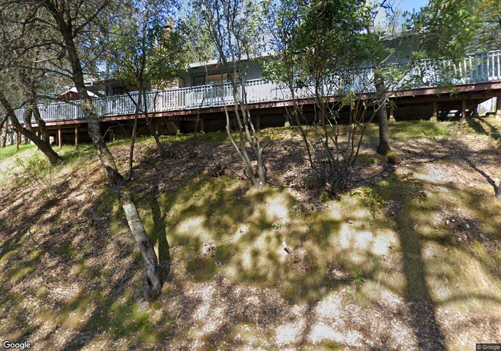
1343 Katie Ln Placerville, CA 95667
Estimated Value: $469,000 - $493,000
About This Home
This home is located at 1343 Katie Ln, Placerville, CA 95667 and is currently estimated at $480,267, approximately $307 per square foot. 1343 Katie Ln is a home located in El Dorado County with nearby schools including El Dorado High School, Country Day Montessori, and El Dorado Adventist School.
Ownership History
We collect this data history from publicly available records. To have your information removed, we recommend requesting removal directly through your county’s website.
Purchase Details
Home Financials for this Owner
Home Financials are based on the most recent Mortgage that was taken out on this home.Purchase Details
Purchase Details
Home Financials for this Owner
Home Financials are based on the most recent Mortgage that was taken out on this home.Purchase Details
Home Values in the Area
Average Home Value in this Area
Purchase History
We collect this data history from publicly available records. To have your information removed, we recommend requesting removal directly through your county’s website.
| Date | Buyer | Sale Price | Title Company |
|---|---|---|---|
| -- | Fidelity Natl Title Co Of Ca | ||
| -- | None Available | ||
| $220,000 | First American Title Ins Co | ||
| -- | -- | ||
| -- | -- |
Mortgage History
We collect this data history from publicly available records. To have your information removed, we recommend requesting removal directly through your county’s website.
| Date | Status | Borrower | Loan Amount |
|---|---|---|---|
| Open | $183,000 | ||
| Closed | $83,000 |
Tax History
We collect this data history from publicly available records. To have your information removed, we recommend requesting removal directly through your county’s website.
| Year | Tax Paid | Tax Assessment Tax Assessment Total Assessment is a certain percentage of the fair market value that is determined by local assessors to be the total taxable value of land and additions on the property. | Land | Improvement |
|---|---|---|---|---|
| 2025 | $3,149 | $302,815 | $81,232 | $221,583 |
| 2024 | $3,149 | $296,879 | $79,640 | $217,239 |
| 2023 | $3,113 | $291,059 | $78,079 | $212,980 |
| 2022 | $3,069 | $285,353 | $76,549 | $208,804 |
| 2021 | $3,034 | $279,759 | $75,049 | $204,710 |
| 2020 | $2,989 | $276,891 | $74,280 | $202,611 |
| 2019 | $2,953 | $271,463 | $72,824 | $198,639 |
| 2018 | $2,864 | $266,142 | $71,397 | $194,745 |
| 2017 | $2,822 | $260,925 | $69,998 | $190,927 |
| 2016 | $2,779 | $255,810 | $68,626 | $187,184 |
| 2015 | $2,700 | $251,970 | $67,597 | $184,373 |
| 2014 | $2,653 | $247,036 | $66,274 | $180,762 |
Map
- 2655 Mona Dr
- 2852 Hocking St
- 1344 Village Ln
- 2940 Anderson Way
- 1278 Rosier St
- 2873 Anderson Way
- 1017 Utah Dr
- 2531 Morrene Dr
- 2725 Clay St
- 2921 Miller Way
- 1000 Utah Dr
- 1002 Utah Dr
- 3093 Wiltse Rd
- 3072 Spanish Ravine Rd
- 3340 La Vista Dr
- 678 Main St
- 9425 Mosquito Rd
- 945 Crawford Drift Ct
- 944 Crawford Drift Ct
- 2911 Clay St
- 1353 Katie Ln
- 1325 Katie Ln
- 1250 Sandra Cir
- 1275 Sandra Cir
- 1360 Katie Ln
- 1249 Sandra Cir
- 1369 Katie Ln
- 1230 Sandra Cir
- 1 Mosquito Rd Near Rock Creek Rd
- 2 Mosquito Rd
- 91 Mosquito Rd
- 337 Mosquito Rd
- 8343 Mosquito Rd
- 0000 Rock Creek Rd
- 1370 Katie Ln
- 0 40 Ac Mosquito Rd Unit 14066300
- 2740 Mosquito Rd
- 2773 Morrene Dr
- 1281 Sandra Cir
- 1310 Katie Ln
Ask me questions while you tour the home.