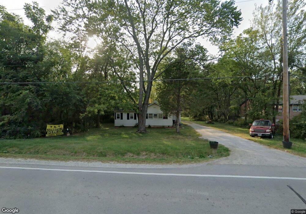
1343 N Cedar Rd New Lenox, IL 60451
Estimated Value: $310,000 - $371,000
--
Bed
--
Bath
--
Sq Ft
1.5
Acres
About This Home
This home is located at 1343 N Cedar Rd, New Lenox, IL 60451 and is currently estimated at $330,499. 1343 N Cedar Rd is a home located in Will County with nearby schools including Oster-Oakview School, Haines Elementary School, and Lincoln Way West.
Ownership History
Date
Name
Owned For
Owner Type
Purchase Details
Closed on
May 10, 2016
Sold by
Dunn Betty J and Dunn Donald W
Bought by
Dunn Betty J and Betty J Dunn Trust
Current Estimated Value
Purchase Details
Closed on
Feb 2, 2009
Sold by
First Bank Of Manhattan
Bought by
Dunn Betty J
Purchase Details
Closed on
Dec 20, 2007
Sold by
Harris Na
Bought by
First Bank Of Manhattan and Trust #570
Purchase Details
Closed on
Sep 24, 2003
Sold by
Huisman Raymond P and Huisman Georgian A
Bought by
Nlsb and Trust #93
Create a Home Valuation Report for This Property
The Home Valuation Report is an in-depth analysis detailing your home's value as well as a comparison with similar homes in the area
Home Values in the Area
Average Home Value in this Area
Purchase History
| Date | Buyer | Sale Price | Title Company |
|---|---|---|---|
| Dunn Betty J | -- | Attorney | |
| Dunn Betty J | -- | None Available | |
| First Bank Of Manhattan | -- | None Available | |
| Nlsb | $195,000 | Chicago Title Insurance Co |
Source: Public Records
Tax History Compared to Growth
Tax History
| Year | Tax Paid | Tax Assessment Tax Assessment Total Assessment is a certain percentage of the fair market value that is determined by local assessors to be the total taxable value of land and additions on the property. | Land | Improvement |
|---|---|---|---|---|
| 2024 | $6,479 | $82,806 | $35,983 | $46,823 |
| 2023 | $6,479 | $75,484 | $32,801 | $42,683 |
| 2022 | $5,800 | $69,538 | $30,217 | $39,321 |
| 2021 | $5,527 | $65,398 | $28,418 | $36,980 |
| 2020 | $5,380 | $63,065 | $27,404 | $35,661 |
| 2019 | $5,156 | $61,109 | $26,554 | $34,555 |
| 2018 | $5,047 | $59,003 | $25,639 | $33,364 |
| 2017 | $4,799 | $57,307 | $24,902 | $32,405 |
| 2016 | $4,667 | $55,774 | $24,236 | $31,538 |
| 2015 | $4,533 | $54,018 | $23,473 | $30,545 |
| 2014 | $4,533 | $53,351 | $23,183 | $30,168 |
| 2013 | $4,533 | $54,070 | $23,495 | $30,575 |
Source: Public Records
Map
Nearby Homes
- 1344 N Cedar Rd
- 133 Barbara Ln
- 200 Redwood Ave
- 1231 Town Crest Dr Unit E
- 208 Redwood Ave
- 217 Aspen Dr
- 224 Hauser Ct
- 807 Picardy Place
- 125 Kimber Dr
- 203 Fir St
- 338 Willow St
- 1261 S Regan Rd
- 331 Old Hickory Rd
- 1301 Silver Cross Blvd
- 1999 Silver Cross Blvd
- 1920 Edmonds Ave
- 0 Silver Cross Blvd
- 12001 W Route 6
- Vacant W Maple St
- 202 Hickory St
- 1348 N Cedar Rd
- 1347 N Cedar Rd
- 1346 N Cedar Rd
- 1355 N Cedar Rd
- 1329 N Cedar Rd
- 1334 N Cedar Rd
- 1332 N Cedar Rd
- 1338 N Cedar Rd
- 117 Barbara Ln
- 0000 N Cedar Rd
- 1357 N Cedar Rd
- 1358 N Cedar Rd
- 121 Barbara Ln
- 1349 N Cedar Rd
- 125 Barbara Ln
- 1316 N Cedar Rd
- 1314 N Cedar Rd
- 129 Barbara Ln
- 1310 N Cedar Rd
- 115 E Francis Rd