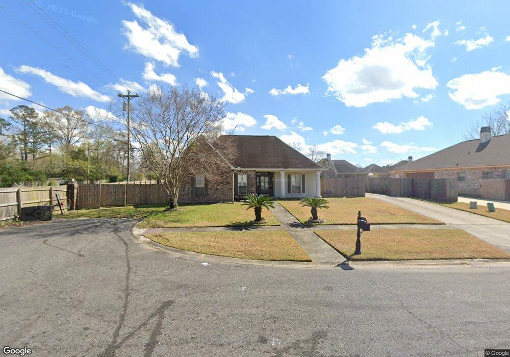
13430 Northstar Ct Baton Rouge, LA 70815
Broadmoor/Sherwood NeighborhoodEstimated Value: $238,981 - $274,000
3
Beds
3
Baths
2,208
Sq Ft
$117/Sq Ft
Est. Value
About This Home
This home is located at 13430 Northstar Ct, Baton Rouge, LA 70815 and is currently estimated at $257,495, approximately $116 per square foot. 13430 Northstar Ct is a home located in East Baton Rouge Parish with nearby schools including Twin Oaks Elementary School, Southeast Middle School, and Broadmoor Senior High School.
Ownership History
Date
Name
Owned For
Owner Type
Purchase Details
Closed on
Apr 3, 2006
Sold by
Hicks Anthony J
Bought by
Parnell Derek L
Current Estimated Value
Home Financials for this Owner
Home Financials are based on the most recent Mortgage that was taken out on this home.
Original Mortgage
$156,800
Outstanding Balance
$89,325
Interest Rate
6.21%
Mortgage Type
New Conventional
Estimated Equity
$168,315
Create a Home Valuation Report for This Property
The Home Valuation Report is an in-depth analysis detailing your home's value as well as a comparison with similar homes in the area
Home Values in the Area
Average Home Value in this Area
Purchase History
| Date | Buyer | Sale Price | Title Company |
|---|---|---|---|
| Parnell Derek L | $196,000 | -- |
Source: Public Records
Mortgage History
| Date | Status | Borrower | Loan Amount |
|---|---|---|---|
| Open | Parnell Derek L | $156,800 | |
| Closed | Parnell Derek L | $39,200 |
Source: Public Records
Tax History Compared to Growth
Tax History
| Year | Tax Paid | Tax Assessment Tax Assessment Total Assessment is a certain percentage of the fair market value that is determined by local assessors to be the total taxable value of land and additions on the property. | Land | Improvement |
|---|---|---|---|---|
| 2024 | $1,640 | $19,780 | $3,000 | $16,780 |
| 2023 | $1,528 | $19,600 | $3,000 | $16,600 |
| 2022 | $2,340 | $19,600 | $3,000 | $16,600 |
| 2021 | $2,287 | $19,600 | $3,000 | $16,600 |
| 2020 | $2,315 | $19,600 | $3,000 | $16,600 |
| 2019 | $2,421 | $19,600 | $3,000 | $16,600 |
| 2018 | $2,392 | $19,600 | $3,000 | $16,600 |
| 2017 | $2,392 | $19,600 | $3,000 | $16,600 |
| 2016 | $846 | $13,790 | $3,000 | $10,790 |
| 2015 | $1,541 | $19,600 | $3,000 | $16,600 |
| 2014 | $1,536 | $19,600 | $3,000 | $16,600 |
| 2013 | -- | $19,600 | $3,000 | $16,600 |
Source: Public Records
Map
Nearby Homes
- 522 S Flannery Rd Unit A
- 540 S Flannery Rd Unit A
- 13070 Wallis St
- 13212 Avants Ave
- 1184 Harco Dr
- 13343 E Parnell Ave
- 14101 Florida Blvd
- 514 Oakford Dr
- 1435 Duchess Dr
- 1492 Marque Ann Dr
- 1486 Marque Ann Dr
- 1484 Marque Ann Dr
- 1466 Harco Dr
- 620 Rushmore Dr
- 815/819 Holt Dr
- 12651 Parnell Ave
- 12547 Lorna Ave
- 12385&12387 Shay Ave
- 12511 E Robinhood Dr
- 765 Brinwood Ave
- 0 Northstar Ct
- 13420 Northstar Ct
- 13429 Turtle Ct
- 13419 Turtle Ct
- 13410 Northstar Ct
- 13431 Northstar Ct
- 13421 Northstar Ct
- 197 Turtle Ct
- 0 Turtle Ct
- 13409 Turtle Ct
- 13400 Northstar Ct
- 13411 Northstar Ct
- 231 Allan Dr
- 170 Allan Dr
- 187 Allan Dr
- 203 S Flannery Rd
- 205 S Flannery Rd Unit 5
- 205 S Flannery Rd Unit 6
- 205 S Flannery Rd
- 205 S Flannery Rd Unit 4