13430 Pam Dr Weeki Wachee, FL 34614
Royal Highlands NeighborhoodEstimated Value: $243,000 - $1,693,491
4
Beds
2
Baths
2,000
Sq Ft
$469/Sq Ft
Est. Value
About This Home
This home is located at 13430 Pam Dr, Weeki Wachee, FL 34614 and is currently estimated at $937,497, approximately $468 per square foot. 13430 Pam Dr is a home located in Hernando County with nearby schools including Winding Waters K-8 and Weeki Wachee High School.
Ownership History
Date
Name
Owned For
Owner Type
Purchase Details
Closed on
Mar 27, 2009
Sold by
Points Diane
Bought by
Konner Gary and Konner Mary
Current Estimated Value
Purchase Details
Closed on
May 23, 2008
Sold by
Points William Dwayne and Points Diane
Bought by
Points Diane
Home Financials for this Owner
Home Financials are based on the most recent Mortgage that was taken out on this home.
Original Mortgage
$162,000
Interest Rate
6.02%
Mortgage Type
Stand Alone Refi Refinance Of Original Loan
Create a Home Valuation Report for This Property
The Home Valuation Report is an in-depth analysis detailing your home's value as well as a comparison with similar homes in the area
Home Values in the Area
Average Home Value in this Area
Purchase History
| Date | Buyer | Sale Price | Title Company |
|---|---|---|---|
| Konner Gary | $235,000 | Landquest Title Llc | |
| Points Diane | -- | Lsi |
Source: Public Records
Mortgage History
| Date | Status | Borrower | Loan Amount |
|---|---|---|---|
| Previous Owner | Points Diane | $162,000 |
Source: Public Records
Tax History Compared to Growth
Tax History
| Year | Tax Paid | Tax Assessment Tax Assessment Total Assessment is a certain percentage of the fair market value that is determined by local assessors to be the total taxable value of land and additions on the property. | Land | Improvement |
|---|---|---|---|---|
| 2024 | $16,662 | $1,142,563 | -- | -- |
| 2023 | $16,662 | $1,109,284 | $0 | $0 |
| 2022 | $16,610 | $1,076,975 | $106,920 | $970,055 |
| 2021 | $13,030 | $792,852 | $89,100 | $703,752 |
| 2020 | $11,135 | $690,278 | $84,150 | $606,128 |
| 2019 | $10,888 | $653,088 | $74,250 | $578,838 |
| 2018 | $9,440 | $615,824 | $74,250 | $541,574 |
| 2017 | $9,135 | $557,465 | $74,250 | $483,215 |
| 2016 | $4,204 | $506,670 | $0 | $0 |
| 2015 | $7,856 | $486,753 | $0 | $0 |
| 2014 | -- | $468,854 | $0 | $0 |
Source: Public Records
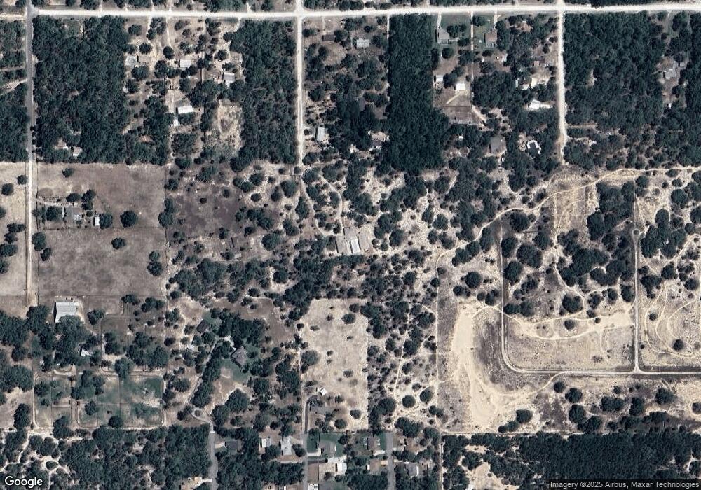
Map
Nearby Homes
- 0 Kitty Rd
- 0 Kingfisher Rd
- 13236 Kildeer Rd
- 13331 Haven Trail
- 0 Rock Duck Ave Unit 2256072
- 0 Rock Duck Ave Unit MFRW7879499
- 0 Rock Duck Ave Unit 2256071
- 0 Rock Duck Ave Unit MFRW7879495
- 0 Rock Duck Ave Unit 2256063
- 0 Rock Duck Ave Unit MFRW7879486
- 0 Rock Duck Ave Unit MFRW7879474
- 0 Rock Duck Ave Unit MFRW7879473
- 12217 Peaceful Ave
- 0 Ruffed Grouse Rd
- 14056 Tayco Dr
- 0 Rock Duck (Lot 24) Unit 2256061
- 0 Rock Duck (Lot 29) Unit 2256062
- 13183 Haven Trail
- 12271 Centralia Rd
- 0 Bowie Rd
- 12112 Peaceful Ave
- 13429 Pam Dr
- Lot 18 Pam Dr
- 12108 Peaceful Ave
- 12148 Peaceful Ave
- 0000 Pam Dr
- 13284 Kitty Rd
- 12156 Peaceful Ave
- 12030 Peaceful Ave
- 12102 Peaceful Ave
- 13263 Kitty Rd
- 13273 Kildeer Rd
- 12016 Peaceful Ave
- 13435 Tayco Dr
- 13272 Kildeer Rd
- 13274 Kitty Rd
- 13275 Kitty Rd
- 12144 Peaceful Ave
- 12124 Peaceful Ave
- 0 Pam Dr Unit 2024987