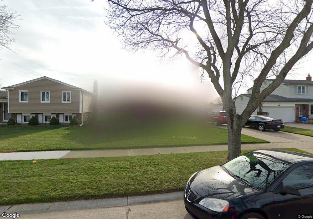
13430 Wessel Ct Sterling Heights, MI 48313
Estimated Value: $277,919 - $346,000
--
Bed
1
Bath
1,700
Sq Ft
$183/Sq Ft
Est. Value
About This Home
This home is located at 13430 Wessel Ct, Sterling Heights, MI 48313 and is currently estimated at $311,480, approximately $183 per square foot. 13430 Wessel Ct is a home located in Macomb County with nearby schools including Havel Elementary School, Bemis Junior High School, and Henry Ford II High School.
Ownership History
Date
Name
Owned For
Owner Type
Purchase Details
Closed on
Apr 26, 2019
Sold by
Jenkinson Cynthia L
Bought by
Jenkinson Cynthia L and Cynthia Jenkinson Revocable Trust
Current Estimated Value
Purchase Details
Closed on
Nov 22, 1999
Sold by
Labelle Mark F
Bought by
Jenkinson Cynthia
Home Financials for this Owner
Home Financials are based on the most recent Mortgage that was taken out on this home.
Original Mortgage
$140,000
Interest Rate
8.27%
Mortgage Type
Purchase Money Mortgage
Create a Home Valuation Report for This Property
The Home Valuation Report is an in-depth analysis detailing your home's value as well as a comparison with similar homes in the area
Home Values in the Area
Average Home Value in this Area
Purchase History
| Date | Buyer | Sale Price | Title Company |
|---|---|---|---|
| Jenkinson Cynthia L | -- | None Available | |
| Jenkinson Cynthia | $164,900 | -- |
Source: Public Records
Mortgage History
| Date | Status | Borrower | Loan Amount |
|---|---|---|---|
| Previous Owner | Jenkinson Cynthia | $140,000 |
Source: Public Records
Tax History Compared to Growth
Tax History
| Year | Tax Paid | Tax Assessment Tax Assessment Total Assessment is a certain percentage of the fair market value that is determined by local assessors to be the total taxable value of land and additions on the property. | Land | Improvement |
|---|---|---|---|---|
| 2025 | $2,622 | $141,100 | $0 | $0 |
| 2024 | $2,398 | $134,000 | $0 | $0 |
| 2023 | $2,264 | $121,500 | $0 | $0 |
| 2022 | $2,360 | $107,300 | $0 | $0 |
| 2021 | $2,311 | $98,600 | $0 | $0 |
| 2020 | $2,061 | $85,400 | $0 | $0 |
| 2019 | $1,971 | $82,000 | $0 | $0 |
| 2018 | $2,137 | $74,600 | $0 | $0 |
| 2017 | $2,040 | $70,500 | $14,300 | $56,200 |
| 2016 | $1,971 | $70,500 | $0 | $0 |
| 2015 | -- | $64,900 | $0 | $0 |
| 2014 | -- | $53,700 | $0 | $0 |
Source: Public Records
Map
Nearby Homes
- 13431 Melanie Dr
- 13374 Wessel Ct
- 41222 Paign Dr
- 13980 Amanda Dr
- 13689 Ridgepoint Dr
- 13936 Grove Park Dr
- 12646 Bender Dr
- 14239 Alpena Dr
- 42708 Wilmington Dr
- 41309 Memphis Dr
- 13722 Diversion Dr
- 42153 Mac Rae Dr
- 41744 Mae Wood Dr
- 14554 Alma Dr
- 13299 Jennilynn Ln
- 42811 Wilmington Dr
- 42222 Mac Rae Dr
- 42917 Freeport Dr
- 13104 Carnaby Ct
- 13762 Halleck Dr
- 13418 Wessel Ct
- 13442 Wessel Ct
- 13406 Wessel Ct
- 13454 Wessel Ct
- 13455 Melanie Dr
- 13443 Melanie Dr
- 13467 Melanie Dr
- 13479 Melanie Dr
- 13429 Wessel Ct
- 13466 Wessel Ct
- 13441 Wessel Ct
- 13417 Wessel Ct
- 13419 Melanie Dr
- 13453 Wessel Ct
- 13405 Wessel Ct
- 13495 Melanie Dr
- 13362 Wessel Ct Unit Bldg-Unit
- 13362 Wessel Ct
- 13407 Melanie Dr
- 13373 Wessel Ct