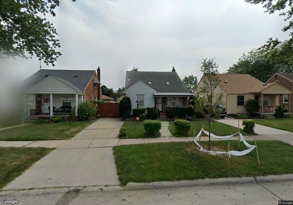
13437 Commonwealth St Southgate, MI 48195
Estimated Value: $180,606 - $217,000
--
Bed
1
Bath
1,205
Sq Ft
$172/Sq Ft
Est. Value
About This Home
This home is located at 13437 Commonwealth St, Southgate, MI 48195 and is currently estimated at $207,152, approximately $171 per square foot. 13437 Commonwealth St is a home located in Wayne County with nearby schools including Grogan Elementary School, Davidson Middle School, and Southgate Anderson High School.
Ownership History
Date
Name
Owned For
Owner Type
Purchase Details
Closed on
Nov 1, 2006
Sold by
Petkov Debra A
Bought by
Stenson Walter Edward
Current Estimated Value
Create a Home Valuation Report for This Property
The Home Valuation Report is an in-depth analysis detailing your home's value as well as a comparison with similar homes in the area
Home Values in the Area
Average Home Value in this Area
Purchase History
| Date | Buyer | Sale Price | Title Company |
|---|---|---|---|
| Stenson Walter Edward | $134,000 | Minnesota Title Agency |
Source: Public Records
Tax History Compared to Growth
Tax History
| Year | Tax Paid | Tax Assessment Tax Assessment Total Assessment is a certain percentage of the fair market value that is determined by local assessors to be the total taxable value of land and additions on the property. | Land | Improvement |
|---|---|---|---|---|
| 2025 | $2,281 | $87,600 | $0 | $0 |
| 2024 | $2,281 | $80,100 | $0 | $0 |
| 2023 | $2,176 | $72,900 | $0 | $0 |
| 2022 | $2,520 | $67,300 | $0 | $0 |
| 2021 | $2,453 | $60,200 | $0 | $0 |
| 2020 | $2,412 | $55,600 | $0 | $0 |
| 2019 | $2,382 | $52,900 | $0 | $0 |
| 2018 | $1,814 | $51,700 | $0 | $0 |
| 2017 | $1,077 | $49,400 | $0 | $0 |
| 2016 | $2,202 | $43,300 | $0 | $0 |
| 2015 | $3,819 | $40,600 | $0 | $0 |
| 2013 | $3,700 | $38,000 | $0 | $0 |
| 2012 | $1,614 | $36,500 | $4,100 | $32,400 |
Source: Public Records
Map
Nearby Homes
- 13480 Argyle St
- 13341 Chestnut St
- 13440 Phelps St
- 13459 Jobin St
- 13371 Walnut St
- 13539 Walnut St
- 13650 Jobin St
- 13532 Mercier St
- 14555 Burns St
- 14268 Trenton Rd
- 13200 Mercier St
- 13420 Catalpa St
- 13638 Castle St
- 14466 Trenton Rd
- 12937 Walnut St
- 12753 Backus St
- 14567 Longtin St
- 12770 Veronica St
- 12745 Phelps St
- 13021 Cunningham St
- 13425 Commonwealth St
- 13449 Commonwealth St
- 13413 Commonwealth St
- 13461 Commonwealth St
- 13473 Commonwealth St
- 13430 Argyle St Unit Bldg-Unit
- 13430 Argyle St
- 13418 Argyle St
- 13489 Commonwealth St
- 13466 Argyle St
- 13436 Commonwealth St
- 13424 Commonwealth St
- 13448 Commonwealth St
- 13365 Commonwealth St
- 13412 Commonwealth St
- 13460 Commonwealth St
- 13505 Commonwealth St
- 13494 Argyle St
- 13364 Argyle St
- 13472 Commonwealth St