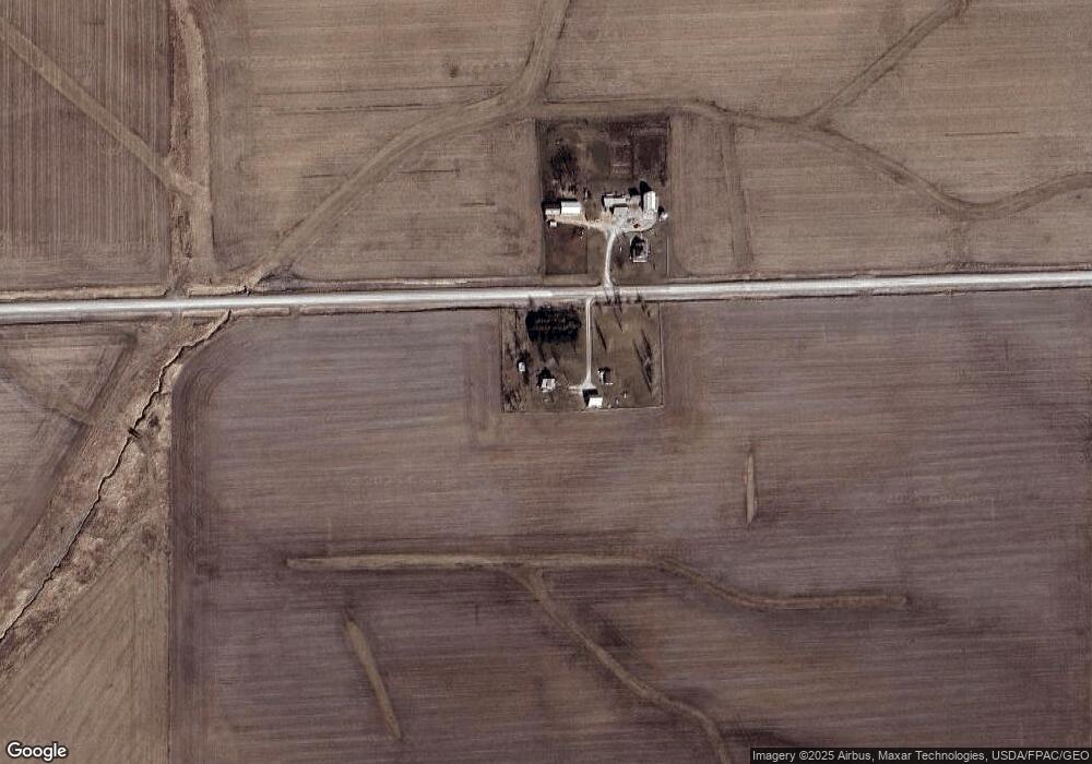
1344 310th St Brandon, IA 52210
Estimated Value: $231,109 - $307,000
3
Beds
1
Bath
1,456
Sq Ft
$184/Sq Ft
Est. Value
About This Home
This home is located at 1344 310th St, Brandon, IA 52210 and is currently estimated at $268,277, approximately $184 per square foot. 1344 310th St is a home located in Buchanan County with nearby schools including West Elementary School, East Elementary School, and Independence Junior/Senior High School.
Ownership History
Date
Name
Owned For
Owner Type
Purchase Details
Closed on
Dec 8, 2015
Sold by
Covington Thomas J and Covington Jennifer K
Bought by
Wissink Jay A and Wissink Jay
Current Estimated Value
Home Financials for this Owner
Home Financials are based on the most recent Mortgage that was taken out on this home.
Original Mortgage
$12,200
Interest Rate
3.93%
Mortgage Type
Future Advance Clause Open End Mortgage
Create a Home Valuation Report for This Property
The Home Valuation Report is an in-depth analysis detailing your home's value as well as a comparison with similar homes in the area
Purchase History
| Date | Buyer | Sale Price | Title Company |
|---|---|---|---|
| Wissink Jay A | $122,000 | None Available |
Source: Public Records
Mortgage History
| Date | Status | Borrower | Loan Amount |
|---|---|---|---|
| Closed | Wissink Jay A | $12,200 |
Source: Public Records
Tax History
| Year | Tax Paid | Tax Assessment Tax Assessment Total Assessment is a certain percentage of the fair market value that is determined by local assessors to be the total taxable value of land and additions on the property. | Land | Improvement |
|---|---|---|---|---|
| 2025 | $1,968 | $186,230 | $60,000 | $126,230 |
| 2024 | $1,968 | $157,040 | $54,480 | $102,560 |
| 2023 | $1,910 | $157,040 | $54,480 | $102,560 |
| 2022 | $1,772 | $127,060 | $43,500 | $83,560 |
| 2021 | $1,790 | $127,060 | $43,500 | $83,560 |
| 2020 | $1,790 | $116,850 | $39,500 | $77,350 |
| 2019 | $1,888 | $116,850 | $39,500 | $77,350 |
| 2018 | $1,776 | $116,020 | $39,500 | $76,520 |
| 2017 | $1,730 | $116,020 | $39,500 | $76,520 |
| 2016 | $1,408 | $110,040 | $32,430 | $77,610 |
| 2015 | $1,408 | $103,340 | $32,430 | $70,910 |
| 2014 | $1,454 | $103,340 | $32,430 | $70,910 |
Source: Public Records
Map
Nearby Homes
- 605 North St
- 804 Main St
- 3251 Brandon Diagonal Blvd
- 0 Tbd 325th St
- 0 25th Ave
- 2859 51st St
- 0 Garling Rd
- 00 Garling Rd
- 0 Gabriel Ave
- TBD Jamestown Ave
- 2554 Henley Ave
- 54th St
- TBD 54th St
- 240th Street
- 5454 22nd Ave Unit Lot 24
- PARCEL "A" LOCA 55th St
- 5467 27th Avenue Dr
- 5515 24th Avenue Dr
- 517 Oak St
- 0 51st St Ln Unit 2600145
Your Personal Tour Guide
Ask me questions while you tour the home.