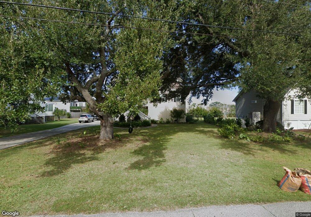
1344 Fort Lamar Rd Charleston, SC 29412
James Island NeighborhoodEstimated Value: $289,000 - $967,000
4
Beds
2
Baths
2,993
Sq Ft
$210/Sq Ft
Est. Value
About This Home
This home is located at 1344 Fort Lamar Rd, Charleston, SC 29412 and is currently estimated at $628,000, approximately $209 per square foot. 1344 Fort Lamar Rd is a home located in Charleston County with nearby schools including James Island Elementary School, Camp Road Middle, and Septima P Clark Corporate Academy.
Ownership History
Date
Name
Owned For
Owner Type
Purchase Details
Closed on
Dec 31, 2024
Sold by
Rutherford Edward C and Rutherford Robin B
Bought by
Rutherford Family Trust and Rutherford
Current Estimated Value
Purchase Details
Closed on
Nov 4, 2013
Sold by
Porter James Edward
Bought by
Rutherford Edward C and Rutherford Robin B
Home Financials for this Owner
Home Financials are based on the most recent Mortgage that was taken out on this home.
Original Mortgage
$40,000
Interest Rate
4.23%
Mortgage Type
New Conventional
Purchase Details
Closed on
Mar 29, 2010
Sold by
Porter Richard T
Bought by
Porter James Edward
Purchase Details
Closed on
Sep 16, 2009
Sold by
Porter James Edward and Porter James E
Bought by
Porter Richard T
Create a Home Valuation Report for This Property
The Home Valuation Report is an in-depth analysis detailing your home's value as well as a comparison with similar homes in the area
Home Values in the Area
Average Home Value in this Area
Purchase History
| Date | Buyer | Sale Price | Title Company |
|---|---|---|---|
| Rutherford Family Trust | -- | None Listed On Document | |
| Rutherford Family Trust | -- | None Listed On Document | |
| Rutherford Edward C | $80,000 | -- | |
| Porter James Edward | -- | -- | |
| Porter Richard T | -- | -- |
Source: Public Records
Mortgage History
| Date | Status | Borrower | Loan Amount |
|---|---|---|---|
| Previous Owner | Rutherford Edward C | $40,000 |
Source: Public Records
Tax History Compared to Growth
Tax History
| Year | Tax Paid | Tax Assessment Tax Assessment Total Assessment is a certain percentage of the fair market value that is determined by local assessors to be the total taxable value of land and additions on the property. | Land | Improvement |
|---|---|---|---|---|
| 2024 | $2,075 | $15,600 | $0 | $0 |
| 2023 | $2,075 | $15,600 | $0 | $0 |
| 2022 | $1,927 | $15,600 | $0 | $0 |
| 2021 | $2,020 | $15,600 | $0 | $0 |
| 2020 | $2,094 | $15,600 | $0 | $0 |
| 2019 | $6,468 | $15,620 | $0 | $0 |
| 2017 | $1,244 | $4,800 | $0 | $0 |
| 2016 | $1,203 | $4,800 | $0 | $0 |
| 2015 | $1,148 | $4,800 | $0 | $0 |
| 2014 | $1,132 | $0 | $0 | $0 |
| 2011 | -- | $0 | $0 | $0 |
Source: Public Records
Map
Nearby Homes
- 1427 Battle Ground Rd
- 1338 Garrison St
- 1410 Ordinance Point
- 1447 Fort Lamar Rd
- 1685 Old Military Rd
- 1601 Secessionville Rd
- 0 Cooper Judge Ln Unit 20007881
- 0 Cooper Judge Ln Unit 20007879
- 1087 Clearspring Dr
- 1245 Lakefront Dr
- 1714 Lotus Ln
- 746 Goodlet Cir
- 1144 Clearspring Dr
- 1153 Clearspring Dr
- 1028 Hills Plantation Dr
- 114 Sea Cotton Cir
- 1566 Folly Rd
- 1344 Seaside Plantation Dr
- 1582 Teal Marsh Rd
- 632 Goodlet Cir
- 1350 Fort Lamar Rd
- 1342 Fort Lamar Rd
- 1692 Secessionville Rd
- 1696 Tower Battery Rd
- 1335 Ft Lamar
- 1335 Fort Lamar Rd
- 1692 Tower Battery Rd
- 1347 Fort Lamar Rd
- 1337 Fort Lamar Rd
- 1330 Fort Lamar Rd
- 1402 Fort Lamar Rd
- 1331 Fort Lamar Rd
- 1691 Tower Battery Rd
- 1687 Tower Battery Rd
- 1690 Tower Battery Rd
- 1686 Secessionville Rd
- 1405 Fort Lamar Rd
- 1683 Tower Battery Rd
- 1683 Tower Battery Rd
- 1326 Fort Lamar Rd