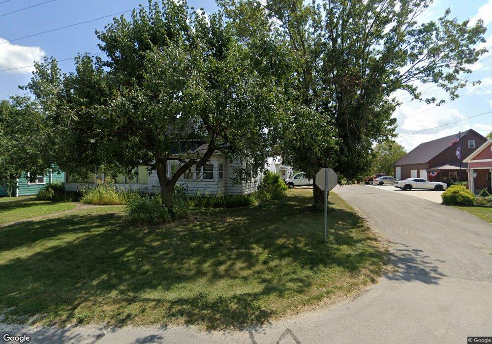
1344 State Route 219 Fort Recovery, OH 45846
Estimated Value: $162,000 - $277,000
4
Beds
1
Bath
1,407
Sq Ft
$150/Sq Ft
Est. Value
About This Home
This home is located at 1344 State Route 219, Fort Recovery, OH 45846 and is currently estimated at $210,772, approximately $149 per square foot. 1344 State Route 219 is a home located in Mercer County with nearby schools including Fort Recovery Elementary School, Fort Recovery Middle School, and Fort Recovery High School.
Ownership History
Date
Name
Owned For
Owner Type
Purchase Details
Closed on
Aug 15, 2013
Sold by
Heitkamp Joseph and Heitkamp Esther
Bought by
Heinrichs Matthew J
Current Estimated Value
Home Financials for this Owner
Home Financials are based on the most recent Mortgage that was taken out on this home.
Original Mortgage
$59,200
Outstanding Balance
$43,754
Interest Rate
4.39%
Mortgage Type
New Conventional
Estimated Equity
$167,018
Create a Home Valuation Report for This Property
The Home Valuation Report is an in-depth analysis detailing your home's value as well as a comparison with similar homes in the area
Home Values in the Area
Average Home Value in this Area
Purchase History
| Date | Buyer | Sale Price | Title Company |
|---|---|---|---|
| Heinrichs Matthew J | $103,600 | Attorney |
Source: Public Records
Mortgage History
| Date | Status | Borrower | Loan Amount |
|---|---|---|---|
| Open | Heinrichs Matthew J | $59,200 |
Source: Public Records
Tax History Compared to Growth
Tax History
| Year | Tax Paid | Tax Assessment Tax Assessment Total Assessment is a certain percentage of the fair market value that is determined by local assessors to be the total taxable value of land and additions on the property. | Land | Improvement |
|---|---|---|---|---|
| 2024 | $1,325 | $45,330 | $3,680 | $41,650 |
| 2023 | $1,325 | $45,330 | $3,680 | $41,650 |
| 2022 | $953 | $30,420 | $2,980 | $27,440 |
| 2021 | $956 | $30,420 | $2,980 | $27,440 |
| 2020 | $977 | $30,420 | $2,980 | $27,440 |
| 2019 | $854 | $25,560 | $2,350 | $23,210 |
| 2018 | $885 | $25,560 | $2,350 | $23,210 |
| 2017 | $856 | $25,560 | $2,350 | $23,210 |
| 2016 | $819 | $24,090 | $2,210 | $21,880 |
| 2015 | $787 | $24,090 | $2,210 | $21,880 |
| 2014 | $800 | $24,090 | $2,210 | $21,880 |
| 2013 | $575 | $25,630 | $2,350 | $23,280 |
Source: Public Records
Map
Nearby Homes
- 207 W Butler St
- 2332 State Route 29
- 821 Butler St
- 820 Mary Ln
- 6699 Gause Rd
- 420 S 1st St
- 501 N 2nd St
- 311 E Main St
- 309 E Vine St
- 402 E Elizabeth St
- 408 E Main St
- 0 Anderson Lots 10 11 & 12 Ln Unit 1037885
- 0 Springer 1-6 & Roadway 14-16 Unit 1037883
- 0 Ohio 118
- 0 Anderson 13&14 & Roadway 12&13 Unit 1037886
- 6764 Silver Lakes Dr
- 5383 U S 127
- 808 W Logan St
- 112 Zillah St
- 1218 Brittany Dr
- 1352 State Route 219
- 1352 Ohio 219
- 1360 State Route 219
- 1360 State Route 219
- 1330 State Route 219
- 1349 State Route 219
- 1335 State Route 219
- 1370 State Route 219
- 1291 Ohio 219
- 1290 State Route 219
- 1290 State Route 219
- 1290 State Route 219
- 1279 State Route 219
- 1268 State Route 219
- 1212 State Route 219
- 4513 Saint Peter Rd
- 4475 Saint Peter Rd
- 4476 Saint Peter Rd
- 4380 Saint Peter Rd
- 4610 Saint Peter Rd