13442 County Road 265 Kenton, OH 43326
Estimated Value: $146,000 - $189,000
4
Beds
2
Baths
1,296
Sq Ft
$132/Sq Ft
Est. Value
About This Home
This home is located at 13442 County Road 265, Kenton, OH 43326 and is currently estimated at $171,065, approximately $131 per square foot. 13442 County Road 265 is a home located in Hardin County with nearby schools including Kenton Elementary School, Kenton Middle School, and Kenton High School.
Ownership History
Date
Name
Owned For
Owner Type
Purchase Details
Closed on
Sep 24, 2021
Sold by
Broadstone Ashlea and Johnson Randy
Bought by
Broadstone Riley R
Current Estimated Value
Home Financials for this Owner
Home Financials are based on the most recent Mortgage that was taken out on this home.
Original Mortgage
$119,605
Outstanding Balance
$108,117
Interest Rate
2.8%
Mortgage Type
New Conventional
Estimated Equity
$62,948
Purchase Details
Closed on
Sep 27, 2006
Sold by
Broadstone Riley and Broadstone Monica
Bought by
Broadstone Ashlea
Home Financials for this Owner
Home Financials are based on the most recent Mortgage that was taken out on this home.
Original Mortgage
$78,500
Interest Rate
6.58%
Mortgage Type
Unknown
Purchase Details
Closed on
Jul 7, 1995
Bought by
Broadstone Riley R and Broadstone Mon
Purchase Details
Closed on
Jul 12, 1993
Bought by
Alexander Cheryl L
Purchase Details
Closed on
Nov 12, 1986
Purchase Details
Closed on
Aug 27, 1986
Create a Home Valuation Report for This Property
The Home Valuation Report is an in-depth analysis detailing your home's value as well as a comparison with similar homes in the area
Purchase History
| Date | Buyer | Sale Price | Title Company |
|---|---|---|---|
| Broadstone Riley R | -- | None Listed On Document | |
| Broadstone Ashlea | -- | None Available | |
| Broadstone Riley R | $40,000 | -- | |
| Alexander Cheryl L | $26,000 | -- | |
| -- | -- | -- | |
| -- | -- | -- |
Source: Public Records
Mortgage History
| Date | Status | Borrower | Loan Amount |
|---|---|---|---|
| Open | Broadstone Riley R | $119,605 | |
| Previous Owner | Broadstone Ashlea | $78,500 |
Source: Public Records
Tax History
| Year | Tax Paid | Tax Assessment Tax Assessment Total Assessment is a certain percentage of the fair market value that is determined by local assessors to be the total taxable value of land and additions on the property. | Land | Improvement |
|---|---|---|---|---|
| 2024 | $2,379 | $39,740 | $2,680 | $37,060 |
| 2023 | $2,402 | $39,740 | $2,680 | $37,060 |
| 2022 | $1,973 | $35,120 | $2,820 | $32,300 |
| 2021 | $2,047 | $30,140 | $2,820 | $27,320 |
| 2020 | $1,861 | $30,140 | $2,820 | $27,320 |
| 2019 | $1,582 | $24,360 | $2,680 | $21,680 |
| 2018 | $1,553 | $24,360 | $2,680 | $21,680 |
| 2017 | $1,447 | $24,360 | $2,680 | $21,680 |
| 2016 | $1,285 | $21,290 | $1,950 | $19,340 |
| 2015 | $786 | $21,290 | $1,950 | $19,340 |
| 2014 | $1,283 | $21,290 | $1,950 | $19,340 |
| 2013 | $1,421 | $23,670 | $1,950 | $21,720 |
Source: Public Records
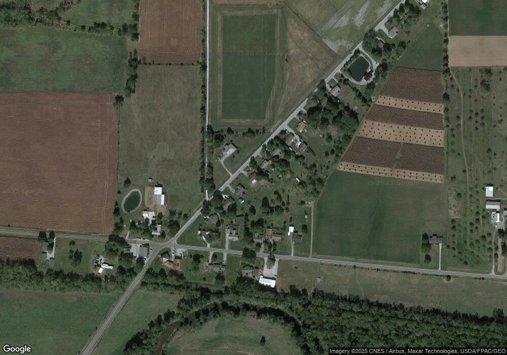
Map
Nearby Homes
- 12891 Township Road 209
- 13750 County Road 227
- 15338 Township Road 195
- 23385 Township Road 126
- 16439 County Road 144
- 12160 Pamela Dr
- 16899 State Route 31
- 11925 County Road 175
- 11896 Parklane Dr
- 16908 County Road 190
- 13450 State Route 292
- 501 East St
- 920 Cooper St
- 820 King St
- 89 Broadway St
- 79 Broadway St
- 39 Grape St
- 530 E Franklin St
- 510 Decatur St
- 508 Decatur St
- 13462 County Road 265
- 13437 County Road 265
- 13484 County Road 265
- 13404 County Road 265
- 13437 Cr
- 13424 County Road 265
- 13484 County Rd
- 20089 Co Rd
- 13506 County Road 265
- 13386 County Road 265
- 20107 County Road 144
- 20063 County Road 144
- 20089 County Road 144
- 13366 County Rd
- 13366 Cr
- 13366 County Road 265
- 13348 County Road 265
Your Personal Tour Guide
Ask me questions while you tour the home.