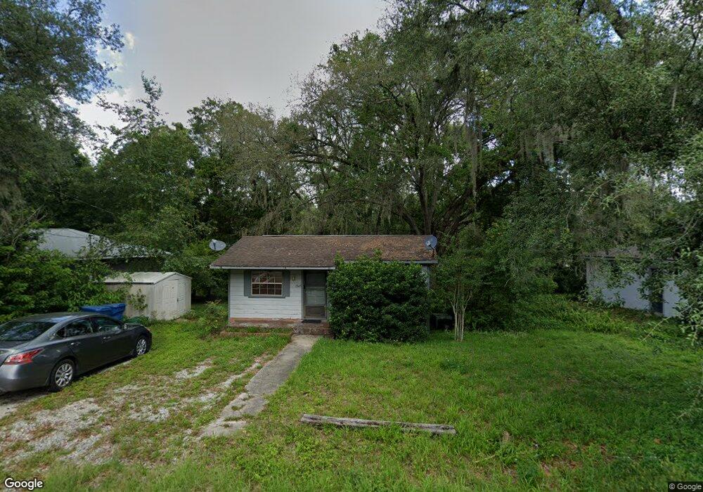
1345 10th St Orange City, FL 32763
Estimated Value: $102,000 - $194,000
2
Beds
1
Bath
520
Sq Ft
$281/Sq Ft
Est. Value
About This Home
This home is located at 1345 10th St, Orange City, FL 32763 and is currently estimated at $146,346, approximately $281 per square foot. 1345 10th St is a home located in Volusia County with nearby schools including Orange City Elementary School, River Springs Middle School, and University High School.
Ownership History
Date
Name
Owned For
Owner Type
Purchase Details
Closed on
Jun 4, 2002
Sold by
Mcnicol Andrew and Mcnicol Virginia L
Bought by
Hoing Randal H
Current Estimated Value
Home Financials for this Owner
Home Financials are based on the most recent Mortgage that was taken out on this home.
Original Mortgage
$51,397
Outstanding Balance
$21,809
Interest Rate
6.86%
Mortgage Type
VA
Estimated Equity
$124,537
Purchase Details
Closed on
Jan 31, 2001
Sold by
Hanshew Harold E and Hanshew Phyllis
Bought by
Mcnicol Andrew and Mcnicol Virginia L
Create a Home Valuation Report for This Property
The Home Valuation Report is an in-depth analysis detailing your home's value as well as a comparison with similar homes in the area
Home Values in the Area
Average Home Value in this Area
Purchase History
| Date | Buyer | Sale Price | Title Company |
|---|---|---|---|
| Hoing Randal H | $49,900 | -- | |
| Mcnicol Andrew | $25,000 | -- |
Source: Public Records
Mortgage History
| Date | Status | Borrower | Loan Amount |
|---|---|---|---|
| Open | Hoing Randal H | $51,397 |
Source: Public Records
Tax History Compared to Growth
Tax History
| Year | Tax Paid | Tax Assessment Tax Assessment Total Assessment is a certain percentage of the fair market value that is determined by local assessors to be the total taxable value of land and additions on the property. | Land | Improvement |
|---|---|---|---|---|
| 2025 | $1,367 | $83,976 | $43,875 | $40,101 |
| 2024 | $1,367 | $84,681 | $43,875 | $40,806 |
| 2023 | $1,367 | $77,147 | $34,125 | $43,022 |
| 2022 | $1,247 | $65,488 | $27,000 | $38,488 |
| 2021 | $1,188 | $52,474 | $19,125 | $33,349 |
| 2020 | $1,098 | $46,264 | $12,000 | $34,264 |
| 2019 | $1,070 | $41,325 | $9,000 | $32,325 |
| 2018 | $1,001 | $37,050 | $7,500 | $29,550 |
| 2017 | $904 | $29,021 | $6,150 | $22,871 |
| 2016 | $806 | $24,677 | $0 | $0 |
| 2015 | $770 | $22,307 | $0 | $0 |
| 2014 | $724 | $20,294 | $0 | $0 |
Source: Public Records
Map
Nearby Homes
- 0 10th St Unit MFRV4941473
- 1275 10th St
- 1261 10th St
- 0 9th St
- 1425 13th St
- 1450 14th St
- 1171 9th St
- 0 12th St Unit MFRO6299359
- 1490 14th St
- 1545 12th St
- 1550 12th St
- 1395 Deland Ave
- 1145 15th St
- 1410 5th St
- 1344 18th St
- 00 7th St
- 0 Schaub Ave Unit MFRO6311639
- 1094 Lolita St
- 1610 14th St
- 1491 18th St
- 1335 10th St
- 1355 10th St
- 1340 W New York Ave
- 1360 W New York Ave
- 1330 W New York Ave
- 1336 10th St
- 1328 10th St
- 1320 10th St
- 1365 10th St
- 1350 10th St
- 1370 W New York Ave
- 1310 W New York Ave
- 1310 10th St
- 1362 10th St
- 1390 W New York Ave
- 0 10th St Unit V4928436
- 0 10th St Unit V4922195
- 0 10th St Unit V4921346
- 0 10th St Unit V4921344
- 0 10th St Unit O5077349