Estimated Value: $267,000 - $288,000
3
Beds
2
Baths
1,624
Sq Ft
$170/Sq Ft
Est. Value
About This Home
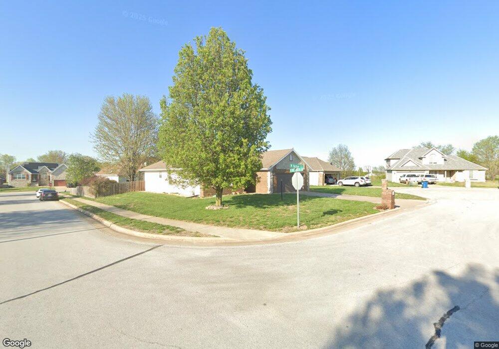
This home is located at 1345 Durham Cir, Nixa, MO 65714 and is currently estimated at $276,265, approximately $170 per square foot. 1345 Durham Cir is a home located in Christian County with nearby schools including P.S. 40 Samuel Huntington, Espy Elementary School, and Queens Gateway to Health Sciences Secondary School.
Ownership History
Date
Name
Owned For
Owner Type
Purchase Details
Closed on
Apr 22, 2011
Sold by
Swinney James D and Swinney Sharyn A
Bought by
Hahn Mary Phyllis
Current Estimated Value
Purchase Details
Closed on
Dec 1, 2009
Sold by
Vantassel Billie E
Bought by
Swinney James D and Swinney Sharon A
Home Financials for this Owner
Home Financials are based on the most recent Mortgage that was taken out on this home.
Original Mortgage
$52,500
Interest Rate
5.01%
Mortgage Type
New Conventional
Create a Home Valuation Report for This Property
The Home Valuation Report is an in-depth analysis detailing your home's value as well as a comparison with similar homes in the area
Home Values in the Area
Average Home Value in this Area
Purchase History
| Date | Buyer | Sale Price | Title Company |
|---|---|---|---|
| Hahn Mary Phyllis | -- | None Available | |
| Swinney James D | -- | None Available |
Source: Public Records
Mortgage History
| Date | Status | Borrower | Loan Amount |
|---|---|---|---|
| Previous Owner | Swinney James D | $52,500 |
Source: Public Records
Tax History Compared to Growth
Tax History
| Year | Tax Paid | Tax Assessment Tax Assessment Total Assessment is a certain percentage of the fair market value that is determined by local assessors to be the total taxable value of land and additions on the property. | Land | Improvement |
|---|---|---|---|---|
| 2024 | $1,705 | $27,360 | -- | -- |
| 2023 | $1,705 | $27,360 | $0 | $0 |
| 2022 | $1,589 | $25,460 | $0 | $0 |
| 2021 | $1,590 | $25,460 | $0 | $0 |
| 2020 | $1,436 | $21,960 | $0 | $0 |
| 2019 | $1,436 | $21,960 | $0 | $0 |
| 2018 | $1,338 | $21,960 | $0 | $0 |
| 2017 | $1,338 | $21,960 | $0 | $0 |
| 2016 | $1,318 | $21,960 | $0 | $0 |
| 2015 | $1,319 | $21,960 | $21,960 | $0 |
| 2014 | $1,285 | $21,930 | $0 | $0 |
| 2013 | $13 | $21,930 | $0 | $0 |
| 2011 | $13 | $43,860 | $0 | $0 |
Source: Public Records
Map
Nearby Homes
- 144 Cedar Heights Dr
- 304 N Bonda Way
- 415 N Lewis Ct
- 305 Meadow St
- 1243 W Verna Ln
- 1334 W Mount Vernon St
- 145 S Blazing Star Ln
- 509 Willowdale Ct
- 000 S Nicholas Rd
- 502 Osage Dr
- 1001 W Bryce Ln
- 178 Applebury Place
- 601 S Gregg Rd
- 907 Denali Dr
- Lot #4 N Ginger Ln
- 806 Honeysuckle Ln
- 901 W Yellowstone St
- 709 N Milton Dr
- Tract 3c S Gregg Rd
- 717 N Milton Dr
- 1343 W Durham Cir
- 1346 W Norfolk Ave
- 1344 Norfolk Ave
- 205 N Westminster Dr
- 1341 W Durham Cir
- 207 Westminster Dr
- 1346 Durham Cir
- 203 N Westminster Dr
- 203 Westminster Dr
- 209 N Westminster Dr
- 1344 Durham Cir
- 1342 Durham Cir
- 302 N Richards Castle Dr
- 201 N Westminster Dr
- 201 Westminster Dr
- 208 N Carlisle Dr
- 206 N Carlisle Dr
- 1343 Norfolk Ave
- 1345 Norfolk Ave
- 210 N Carlisle Dr