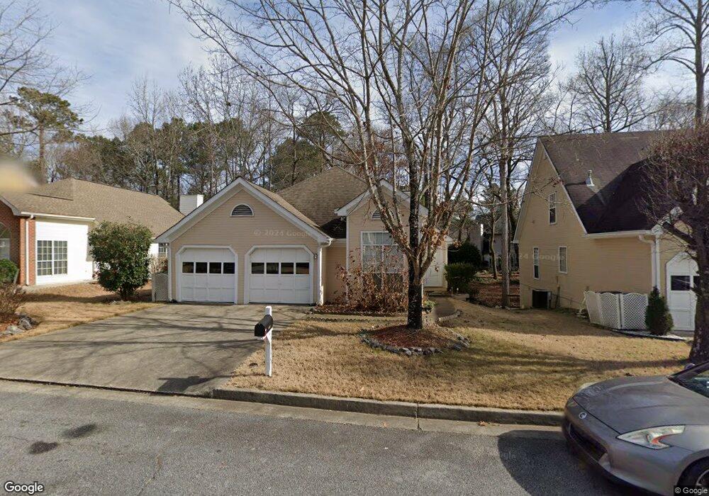
1345 Millstone Dr Alpharetta, GA 30004
Estimated Value: $420,000 - $532,000
3
Beds
2
Baths
1,483
Sq Ft
$318/Sq Ft
Est. Value
About This Home
This home is located at 1345 Millstone Dr, Alpharetta, GA 30004 and is currently estimated at $472,284, approximately $318 per square foot. 1345 Millstone Dr is a home located in Fulton County with nearby schools including Manning Oaks Elementary School, Hopewell Middle School, and Alpharetta High School.
Ownership History
Date
Name
Owned For
Owner Type
Purchase Details
Closed on
Nov 24, 2009
Sold by
Watts Patricia F
Bought by
Bobbert Franz J
Current Estimated Value
Home Financials for this Owner
Home Financials are based on the most recent Mortgage that was taken out on this home.
Original Mortgage
$132,000
Interest Rate
4.98%
Mortgage Type
New Conventional
Purchase Details
Closed on
Jun 30, 1993
Sold by
Housing Group Inc The
Bought by
Watts Patricia F
Home Financials for this Owner
Home Financials are based on the most recent Mortgage that was taken out on this home.
Original Mortgage
$92,600
Interest Rate
7.48%
Create a Home Valuation Report for This Property
The Home Valuation Report is an in-depth analysis detailing your home's value as well as a comparison with similar homes in the area
Home Values in the Area
Average Home Value in this Area
Purchase History
| Date | Buyer | Sale Price | Title Company |
|---|---|---|---|
| Bobbert Franz J | $165,000 | -- | |
| Watts Patricia F | $102,000 | -- |
Source: Public Records
Mortgage History
| Date | Status | Borrower | Loan Amount |
|---|---|---|---|
| Closed | Bobbert Franz J | $132,000 | |
| Previous Owner | Watts Patricia F | $92,600 |
Source: Public Records
Tax History Compared to Growth
Tax History
| Year | Tax Paid | Tax Assessment Tax Assessment Total Assessment is a certain percentage of the fair market value that is determined by local assessors to be the total taxable value of land and additions on the property. | Land | Improvement |
|---|---|---|---|---|
| 2025 | $253 | $161,600 | $29,160 | $132,440 |
| 2023 | $3,195 | $113,200 | $28,360 | $84,840 |
| 2022 | $1,855 | $113,200 | $28,360 | $84,840 |
| 2021 | $2,056 | $122,080 | $28,360 | $93,720 |
| 2020 | $2,070 | $96,000 | $27,440 | $68,560 |
| 2019 | $234 | $96,000 | $27,440 | $68,560 |
| 2018 | $1,553 | $123,160 | $27,440 | $95,720 |
| 2017 | $1,610 | $67,120 | $15,720 | $51,400 |
| 2016 | $1,608 | $67,120 | $15,720 | $51,400 |
| 2015 | $1,801 | $67,120 | $15,720 | $51,400 |
| 2014 | $1,667 | $67,120 | $15,720 | $51,400 |
Source: Public Records
Map
Nearby Homes
- 6023 Coventry Cir
- 2741 Ashleigh Ln
- 4821 Devon Ln
- 2791 Ashleigh Ln Unit 179
- 1055 Poppy Pointe
- 1035 Arborhill Ln
- 1050 Essex Ct
- 3053 Westwood Way
- 4053 Whitehall Way
- 5091 N Somerset Ln
- 4042 Whitehall Way
- 1519 Planters Ridge Ln
- 2847 Ashleigh Ln
- 3036 Westwood Way
- 2060 Monroe Dr
- 1630 Homestead Trail
- 225 Jayne Ellen Way
- 320 Jayne Ellen Way Unit 3
- 220 Water Oak Place
- 247 Water Oak Place
- 1355 Millstone Dr
- 1335 Millstone Dr
- 1870 Millstone Ct
- 1365 Millstone Dr
- 1365 Millstone Dr
- 1325 Millstone Dr
- 1860 Millstone Ct
- 1320 Millstone Dr
- 1880 Millstone Ct
- 1375 Millstone Dr
- 1310 Millstone Dr
- 1330 Millstone Dr
- 1315 Millstone Dr
- 1340 Millstone Dr
- 1300 Millstone Dr
- 1385 Millstone Dr
- 1850 Millstone Ct
- 1890 Millstone Ct
- 1350 Millstone Dr
- 2784 Ashleigh Ln