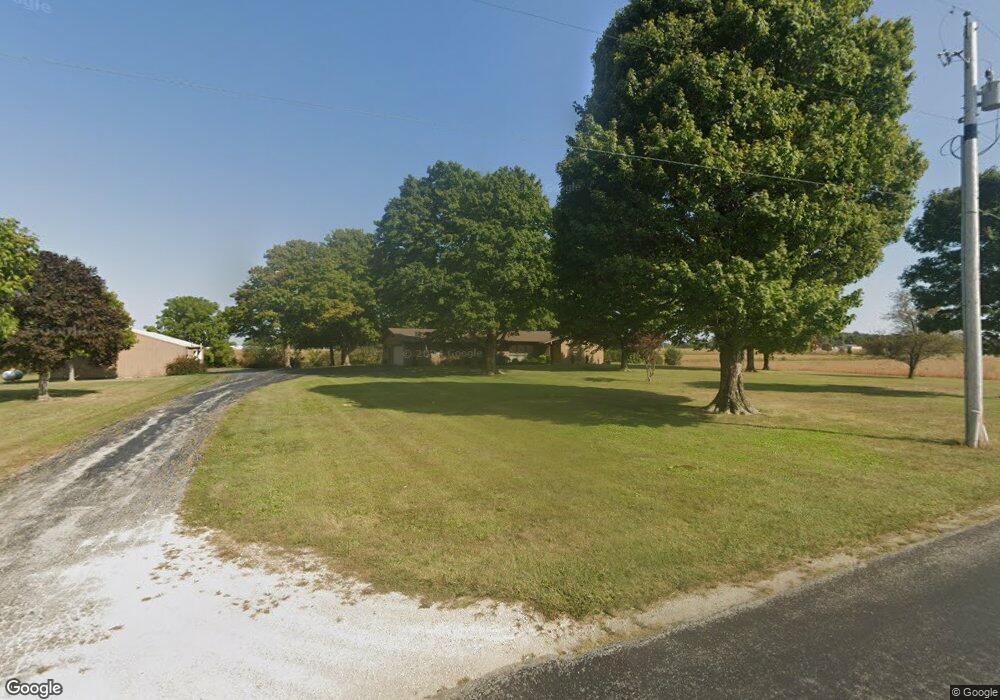
1345 N 700 E Union City, IN 47390
Estimated Value: $149,000 - $241,466
3
Beds
3
Baths
1,956
Sq Ft
$100/Sq Ft
Est. Value
About This Home
This home is located at 1345 N 700 E, Union City, IN 47390 and is currently estimated at $194,867, approximately $99 per square foot. 1345 N 700 E is a home located in Randolph County with nearby schools including North Side Elementary School and Union City Community Jr/Sr High School.
Ownership History
Date
Name
Owned For
Owner Type
Purchase Details
Closed on
Jan 3, 2022
Sold by
Mary Ruth Stoner Revocable Trust and Stoner Mark D
Bought by
Stoner Mark D and Adelsperger Jody L
Current Estimated Value
Purchase Details
Closed on
Oct 18, 2018
Sold by
Retter Shawn D
Bought by
Thornburg Amy E and Retter Amy E
Home Financials for this Owner
Home Financials are based on the most recent Mortgage that was taken out on this home.
Original Mortgage
$132,000
Interest Rate
4.5%
Mortgage Type
Adjustable Rate Mortgage/ARM
Purchase Details
Closed on
Sep 24, 2014
Sold by
Stoner Dale F and Stoner Mary R
Bought by
Retter Shawn D and Retter Amy E
Home Financials for this Owner
Home Financials are based on the most recent Mortgage that was taken out on this home.
Original Mortgage
$132,000
Interest Rate
4.09%
Mortgage Type
Purchase Money Mortgage
Create a Home Valuation Report for This Property
The Home Valuation Report is an in-depth analysis detailing your home's value as well as a comparison with similar homes in the area
Home Values in the Area
Average Home Value in this Area
Purchase History
| Date | Buyer | Sale Price | Title Company |
|---|---|---|---|
| Stoner Mark D | -- | None Listed On Document | |
| Thornburg Amy E | -- | None Available | |
| Retter Shawn D | -- | None Available |
Source: Public Records
Mortgage History
| Date | Status | Borrower | Loan Amount |
|---|---|---|---|
| Previous Owner | Thornburg Amy E | $132,000 | |
| Previous Owner | Retter Shawn D | $132,000 |
Source: Public Records
Tax History Compared to Growth
Tax History
| Year | Tax Paid | Tax Assessment Tax Assessment Total Assessment is a certain percentage of the fair market value that is determined by local assessors to be the total taxable value of land and additions on the property. | Land | Improvement |
|---|---|---|---|---|
| 2024 | $1,109 | $152,300 | $15,000 | $137,300 |
| 2023 | $1,294 | $164,400 | $15,000 | $149,400 |
| 2022 | $1,512 | $168,700 | $15,000 | $153,700 |
| 2021 | $1,385 | $157,000 | $21,300 | $135,700 |
| 2020 | $1,252 | $142,000 | $19,300 | $122,700 |
| 2019 | $1,042 | $127,800 | $17,600 | $110,200 |
| 2018 | $1,055 | $129,000 | $18,500 | $110,500 |
| 2017 | $948 | $127,900 | $17,600 | $110,300 |
| 2016 | $875 | $123,600 | $16,000 | $107,600 |
| 2014 | $2,507 | $229,800 | $125,300 | $104,500 |
| 2013 | $2,507 | $225,000 | $110,700 | $114,300 |
Source: Public Records
Map
Nearby Homes
- 1246 S State Road 32
- 2050 Frank Miller Rd
- 918 Olive Ave Unit Lot 82
- 918 Moss Ave Unit Lot 81
- 910 Olive Ave Unit 60d
- 299 S Willow Dr Unit 61
- 299 S Willow Dr Unit Lot 63
- 402 Charles St
- 1210 W Hickory St
- 1103 W Oak St
- 800 W Chestnut St
- LOT 19 & 20 Governor Isaac P Gray Add
- LOT 18 Governor Isaac P Gray Add
- LOT 9 Governor P Isaac Add
- LOT 25 Governor Isaac P Gray Add
- 504 Leahey St
- 701 Boggs Ave
- 1013 Caroline Ave
- 508 N High St
- 227 South St
- 1250 N 700 E
- 1225 N 700 E
- 1526 N 700 E
- 1015 N 700 E
- 1010 N 700 E
- 1725 N 700 E
- 1725 N 700 E
- 966 N Arba Pike
- 950 N Arba Pike
- 1769 N 700 E
- 918 N Arba Pike
- 7493 E State Road 32
- 1791 N 700 E
- 866 N Arba Pike
- 7571 E State Road 32
- 7580 E State Road 32
- 7669 E State Road 32
- 6884 E State Road 32
- 7681 E State Road 32
- 7746 E State Road 32