Estimated Value: $255,234 - $417,000
4
Beds
2
Baths
3,538
Sq Ft
$95/Sq Ft
Est. Value
About This Home
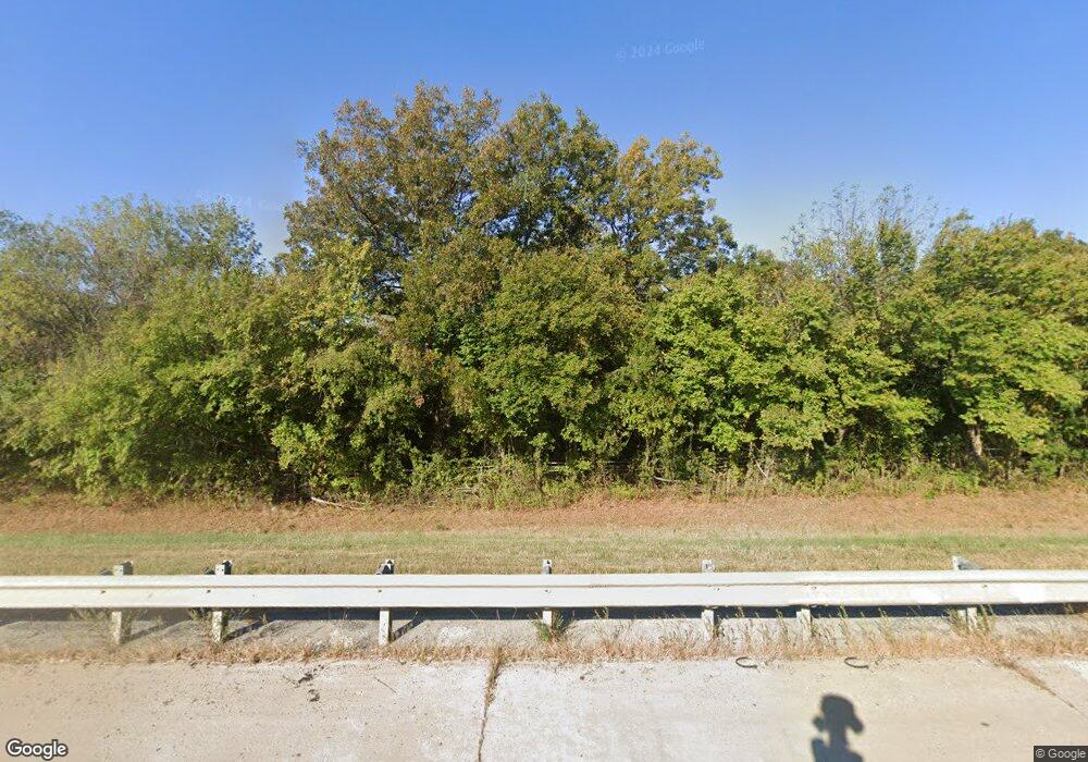
This home is located at 13455 Highway 69 N, Adair, OK 74330 and is currently estimated at $336,117, approximately $95 per square foot. 13455 Highway 69 N is a home located in Mayes County with nearby schools including Bernita Hughes Elementary School, Adair Middle School, and Adair High School.
Ownership History
Date
Name
Owned For
Owner Type
Purchase Details
Closed on
Feb 16, 2024
Sold by
Skerbeck Joe Edward
Bought by
Astar Properties Group Llc
Current Estimated Value
Purchase Details
Closed on
Feb 15, 2024
Sold by
Skerbeck Joe Edward
Bought by
Humphrey Roger and Humphrey Verna
Purchase Details
Closed on
Feb 13, 2024
Sold by
Skerbeck Joe Edward
Bought by
Gillum Marvin and Gillum Tamara
Purchase Details
Closed on
Mar 26, 2022
Sold by
Estes Family Trust
Bought by
Skerbeck Joe Edward
Purchase Details
Closed on
Jun 14, 2019
Sold by
Provision Llc
Bought by
Estes Joseph M and Estes Family Living Trust
Home Financials for this Owner
Home Financials are based on the most recent Mortgage that was taken out on this home.
Original Mortgage
$353,714
Interest Rate
4.1%
Mortgage Type
Construction
Purchase Details
Closed on
Mar 12, 2002
Sold by
Rudd Jack and Rudd Louella
Bought by
Provision, Inc
Create a Home Valuation Report for This Property
The Home Valuation Report is an in-depth analysis detailing your home's value as well as a comparison with similar homes in the area
Home Values in the Area
Average Home Value in this Area
Purchase History
| Date | Buyer | Sale Price | Title Company |
|---|---|---|---|
| Astar Properties Group Llc | $145,000 | None Listed On Document | |
| Astar Properties Group Llc | $145,000 | None Listed On Document | |
| Humphrey Roger | $74,000 | Allegiance Title & Escrow | |
| Gillum Marvin | $625,000 | Allegiance Title & Escrow | |
| Gillum Marvin | $625,000 | Allegiance Title & Escrow | |
| Skerbeck Joe Edward | $225,000 | -- | |
| Estes Joseph M | $650,000 | First American Title Ins Co | |
| Provision, Inc | $455,000 | -- |
Source: Public Records
Mortgage History
| Date | Status | Borrower | Loan Amount |
|---|---|---|---|
| Previous Owner | Estes Joseph M | $353,714 |
Source: Public Records
Tax History Compared to Growth
Tax History
| Year | Tax Paid | Tax Assessment Tax Assessment Total Assessment is a certain percentage of the fair market value that is determined by local assessors to be the total taxable value of land and additions on the property. | Land | Improvement |
|---|---|---|---|---|
| 2024 | $164 | $1,683 | $995 | $688 |
| 2023 | $164 | $44,042 | $5,847 | $38,195 |
| 2022 | $3,380 | $38,471 | $4,559 | $33,912 |
| 2021 | $3,445 | $38,908 | $4,928 | $33,980 |
| 2020 | $3,385 | $37,775 | $5,039 | $32,736 |
| 2019 | $3,013 | $33,260 | $5,039 | $28,221 |
| 2018 | $2,913 | $32,292 | $5,039 | $27,253 |
| 2017 | $2,815 | $32,292 | $5,039 | $27,253 |
| 2016 | $2,827 | $32,292 | $5,039 | $27,253 |
| 2015 | $2,847 | $32,292 | $5,039 | $27,253 |
| 2014 | $2,849 | $32,312 | $4,752 | $27,560 |
Source: Public Records
Map
Nearby Homes
- 2 W 360 Rd
- 3779 W 360 Rd
- 0 N 435 Rd Unit 2539975
- 0 N 435 Rd Unit 25-1899
- 0 N 435 Rd Unit 2530771
- 3165 W 370 Rd
- 000 434 Rd & E 350
- 435414 E 350 Rd
- 12387 Highway 69 N
- 434525 E 340 Rd
- N 433 Rd
- E 3060 Rd
- 0 E 360 Rd
- 433600 E 336 Dr
- 0 W 390 Rd Unit 2540097
- 0002 E 330 Rd
- 438498 E 370 Rd
- 112 Cove
- 0 Elmwood Ave
- 107 Elmwood Ave
- 69 W 360 Rd
- 1 W 360 Rd
- 13455 U S 69
- 0 N 435 Rd Unit 2505282
- 0 N 435 Rd Unit 10-2203
- 0 N 435 Rd Unit 7-2894
- 0 N 435 Rd Unit 1714352
- 585 W 360 Rd
- 13212 Highway 69 N
- 435755 E 360 Rd
- 435755 E 360 Rd
- 761 W 360 Rd
- 0 N 434 Rd Unit 2321574
- 0 N 434 Rd Unit 2304539
- 0 N 434 Rd Unit 2223674
- 0 N 434 Rd Unit 2224174
- S 4417 Rd
- 0 W 360 Rd Unit 2005758
- 986 W 360 Rd
- 435815 E 360 Rd
