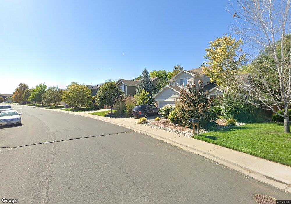
13457 Columbine Cir Thornton, CO 80241
Signal Creek NeighborhoodEstimated Value: $596,226 - $686,000
3
Beds
3
Baths
3,239
Sq Ft
$200/Sq Ft
Est. Value
About This Home
This home is located at 13457 Columbine Cir, Thornton, CO 80241 and is currently estimated at $647,307, approximately $199 per square foot. 13457 Columbine Cir is a home located in Adams County with nearby schools including Tarver Elementary School, Century Middle School, and Horizon High School.
Ownership History
Date
Name
Owned For
Owner Type
Purchase Details
Closed on
Sep 25, 2013
Sold by
Smith Harold R and Smith Lana B
Bought by
Lehner George A and Lehner Neil J
Current Estimated Value
Purchase Details
Closed on
Oct 31, 2000
Sold by
Village Homes Of Colorado Inc
Bought by
Smith Harold R and Smith Lana B
Home Financials for this Owner
Home Financials are based on the most recent Mortgage that was taken out on this home.
Original Mortgage
$125,000
Interest Rate
7.87%
Create a Home Valuation Report for This Property
The Home Valuation Report is an in-depth analysis detailing your home's value as well as a comparison with similar homes in the area
Home Values in the Area
Average Home Value in this Area
Purchase History
| Date | Buyer | Sale Price | Title Company |
|---|---|---|---|
| Lehner George A | $337,000 | Ats | |
| Smith Harold R | $263,898 | Land Title Guarantee Company |
Source: Public Records
Mortgage History
| Date | Status | Borrower | Loan Amount |
|---|---|---|---|
| Previous Owner | Smith Harold R | $125,000 |
Source: Public Records
Tax History Compared to Growth
Tax History
| Year | Tax Paid | Tax Assessment Tax Assessment Total Assessment is a certain percentage of the fair market value that is determined by local assessors to be the total taxable value of land and additions on the property. | Land | Improvement |
|---|---|---|---|---|
| 2024 | $3,410 | $38,070 | $6,880 | $31,190 |
| 2023 | $4,069 | $43,430 | $7,100 | $36,330 |
| 2022 | $3,441 | $31,240 | $7,300 | $23,940 |
| 2021 | $3,556 | $31,240 | $7,300 | $23,940 |
| 2020 | $3,544 | $31,770 | $7,510 | $24,260 |
| 2019 | $3,551 | $31,770 | $7,510 | $24,260 |
| 2018 | $3,406 | $29,600 | $7,490 | $22,110 |
| 2017 | $3,097 | $29,600 | $7,490 | $22,110 |
| 2016 | $2,759 | $25,670 | $4,540 | $21,130 |
| 2015 | $2,755 | $25,670 | $4,540 | $21,130 |
| 2014 | $2,336 | $21,160 | $3,580 | $17,580 |
Source: Public Records
Map
Nearby Homes
- 13540 Detroit St
- 2788 E 132nd Cir
- 2746 E 132nd Place
- 13398 Race St
- 2883 E 136th Place
- 2691 E 132nd Ave
- 3022 E 137th Place
- 2275 E 129th Ave
- 12811 Josephine Ct
- 13758 Cook St
- 12829 Claude Place
- 1282 E 135th Place
- 13606 Garfield St Unit E
- 13638 Garfield St Unit B
- 13638 Garfield St Unit C
- 13963 Cook St
- 1162 E 130th Ave Unit B
- 2420 E 127th Ave
- 12905 Lafayette St Unit H
- 12931 Lafayette St Unit G
- 13451 Columbine Cir
- 13471 Columbine Cir
- 13427 Columbine Cir
- 13477 Columbine Cir
- 13421 Columbine Cir
- 13458 Columbine Cir
- 13491 Columbine Cir
- 13452 Columbine Cir
- 13422 Columbine Cir
- 13407 Columbine Cir
- 13501 Columbine Cir
- 13498 Columbine Cir
- 13408 Columbine Cir
- 13401 Columbine Cir
- 13507 Columbine Cir
- 13377 Elizabeth Ct
- 13391 Elizabeth Ct
- 13371 Elizabeth Ct
- 13522 Columbine Cir
- 13397 Elizabeth Ct