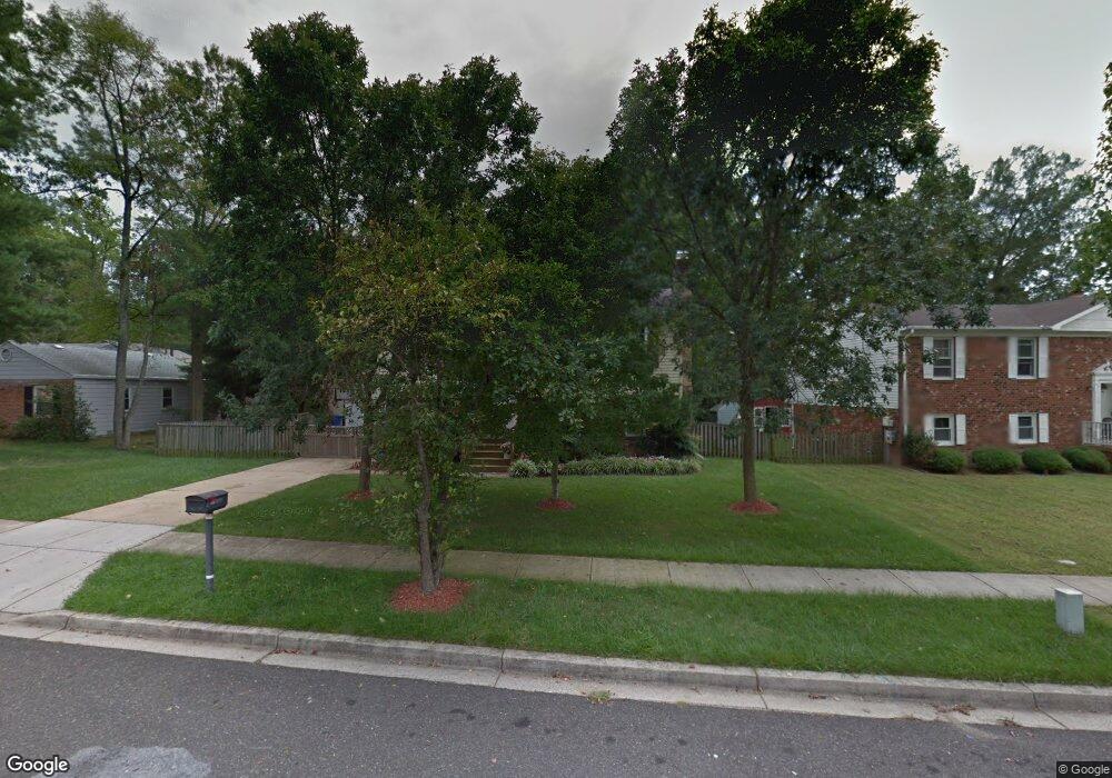
13459 Buchanan Dr Fort Washington, MD 20744
Estimated Value: $397,000 - $455,000
4
Beds
3
Baths
1,964
Sq Ft
$221/Sq Ft
Est. Value
About This Home
This home is located at 13459 Buchanan Dr, Fort Washington, MD 20744 and is currently estimated at $433,127, approximately $220 per square foot. 13459 Buchanan Dr is a home located in Prince George's County with nearby schools including Fort Washington Forest Elementary School, Accokeek Academy, and Friendly High School.
Ownership History
Date
Name
Owned For
Owner Type
Purchase Details
Closed on
Oct 3, 2008
Sold by
Riner Durward D
Bought by
Rabsatt Elroy I
Current Estimated Value
Home Financials for this Owner
Home Financials are based on the most recent Mortgage that was taken out on this home.
Original Mortgage
$296,042
Outstanding Balance
$197,474
Interest Rate
6.58%
Mortgage Type
FHA
Estimated Equity
$235,653
Purchase Details
Closed on
Aug 29, 2008
Sold by
Riner Durward D
Bought by
Rabsatt Elroy I
Home Financials for this Owner
Home Financials are based on the most recent Mortgage that was taken out on this home.
Original Mortgage
$296,042
Outstanding Balance
$197,474
Interest Rate
6.58%
Mortgage Type
FHA
Estimated Equity
$235,653
Purchase Details
Closed on
Nov 19, 1979
Sold by
Aro Builders Inc
Bought by
Riner Durward D and Riner Melissa J
Create a Home Valuation Report for This Property
The Home Valuation Report is an in-depth analysis detailing your home's value as well as a comparison with similar homes in the area
Home Values in the Area
Average Home Value in this Area
Purchase History
| Date | Buyer | Sale Price | Title Company |
|---|---|---|---|
| Rabsatt Elroy I | $299,950 | -- | |
| Rabsatt Elroy I | $299,950 | -- | |
| Riner Durward D | $59,800 | -- |
Source: Public Records
Mortgage History
| Date | Status | Borrower | Loan Amount |
|---|---|---|---|
| Open | Rabsatt Elroy I | $296,042 | |
| Closed | Rabsatt Elroy I | $296,042 |
Source: Public Records
Tax History Compared to Growth
Tax History
| Year | Tax Paid | Tax Assessment Tax Assessment Total Assessment is a certain percentage of the fair market value that is determined by local assessors to be the total taxable value of land and additions on the property. | Land | Improvement |
|---|---|---|---|---|
| 2025 | $4,782 | $311,067 | -- | -- |
| 2024 | $4,782 | $301,500 | $101,200 | $200,300 |
| 2023 | $4,608 | $283,300 | $0 | $0 |
| 2022 | $4,337 | $265,100 | $0 | $0 |
| 2021 | $4,067 | $246,900 | $100,600 | $146,300 |
| 2020 | $3,845 | $231,967 | $0 | $0 |
| 2019 | $3,623 | $217,033 | $0 | $0 |
| 2018 | $3,401 | $202,100 | $75,600 | $126,500 |
| 2017 | $3,323 | $196,867 | $0 | $0 |
| 2016 | -- | $191,633 | $0 | $0 |
| 2015 | $4,429 | $186,400 | $0 | $0 |
| 2014 | $4,429 | $186,400 | $0 | $0 |
Source: Public Records
Map
Nearby Homes
- 1410 Fillmore Rd
- 13503 Harrison Ave
- 804 Cascade Dr
- 802 Cornish St
- 13303 Pendleton St
- 13403 Pendleton St
- 12806 Monroe Ave
- 13024 Old Fort Rd
- 0 Holly Rd Unit MDPG2160552
- 13030 Old Fort Rd
- 513 Holly Rd
- 1916 Taylor Ave
- 504 Holly Rd
- 13318 Chalfont Ave
- 500 Holly Rd
- 500 Bonhill Dr
- 13805 Piscataway Dr
- 14005 Livingston Rd
- 12309 Livingston Rd
- 12800 Asbury Dr
- 13457 Buchanan Dr
- 13461 Buchanan Dr
- 13455 Buchanan Dr
- 13463 Buchanan Dr
- 1302 Buchanan Ct
- 13303 Buchanan Dr
- 13451 Buchanan Dr
- 1300 Buchanan Ct
- 1304 Buchanan Ct
- 13305 Buchanan Dr
- 13454 Buchanan Dr
- 13460 Buchanan Dr
- 13452 Buchanan Dr
- 1303 Buchanan Ct
- 1307 Fillmore Rd
- 13450 Buchanan Dr
- 13304 Buchanan Dr
- 1301 Buchanan Ct
- 13307 Buchanan Dr
- 13448 Buchanan Dr