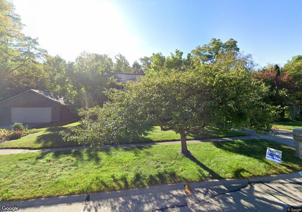
13459 Compass Point Dr Strongsville, OH 44136
Estimated Value: $394,749 - $436,000
4
Beds
3
Baths
2,320
Sq Ft
$182/Sq Ft
Est. Value
About This Home
This home is located at 13459 Compass Point Dr, Strongsville, OH 44136 and is currently estimated at $422,687, approximately $182 per square foot. 13459 Compass Point Dr is a home located in Cuyahoga County with nearby schools including Strongsville High School, Royal Redeemer Lutheran School, and Saint Albert the Great Roman Catholic School.
Ownership History
Date
Name
Owned For
Owner Type
Purchase Details
Closed on
Jun 18, 2009
Sold by
Wilson Deborah A
Bought by
Wilson David A
Current Estimated Value
Purchase Details
Closed on
Sep 28, 2002
Sold by
Wadd Roger A and Wadd Marsha L
Bought by
Wilson David E and Wilson Deborah A
Home Financials for this Owner
Home Financials are based on the most recent Mortgage that was taken out on this home.
Original Mortgage
$207,500
Interest Rate
6.39%
Purchase Details
Closed on
Apr 17, 1981
Bought by
Wadd Robert A
Purchase Details
Closed on
May 12, 1980
Bought by
Sunshine Bldg Co
Purchase Details
Closed on
Jan 12, 1979
Bought by
Sunco
Purchase Details
Closed on
Jan 1, 1978
Bought by
North East Land Co
Create a Home Valuation Report for This Property
The Home Valuation Report is an in-depth analysis detailing your home's value as well as a comparison with similar homes in the area
Home Values in the Area
Average Home Value in this Area
Purchase History
| Date | Buyer | Sale Price | Title Company |
|---|---|---|---|
| Wilson David A | -- | Attorney | |
| Wilson David E | $226,500 | -- | |
| Wadd Robert A | $104,900 | -- | |
| Sunshine Bldg Co | -- | -- | |
| Sunco | -- | -- | |
| North East Land Co | -- | -- |
Source: Public Records
Mortgage History
| Date | Status | Borrower | Loan Amount |
|---|---|---|---|
| Previous Owner | Wilson David E | $207,500 |
Source: Public Records
Tax History Compared to Growth
Tax History
| Year | Tax Paid | Tax Assessment Tax Assessment Total Assessment is a certain percentage of the fair market value that is determined by local assessors to be the total taxable value of land and additions on the property. | Land | Improvement |
|---|---|---|---|---|
| 2024 | $5,505 | $117,250 | $20,615 | $96,635 |
| 2023 | $5,746 | $91,770 | $20,300 | $71,470 |
| 2022 | $5,704 | $91,770 | $20,300 | $71,470 |
| 2021 | $5,659 | $91,770 | $20,300 | $71,470 |
| 2020 | $5,244 | $75,220 | $16,630 | $58,590 |
| 2019 | $5,090 | $214,900 | $47,500 | $167,400 |
| 2018 | $4,626 | $75,220 | $16,630 | $58,590 |
| 2017 | $4,718 | $71,120 | $13,160 | $57,960 |
| 2016 | $4,680 | $71,120 | $13,160 | $57,960 |
| 2015 | $4,746 | $71,120 | $13,160 | $57,960 |
| 2014 | $4,746 | $71,120 | $13,160 | $57,960 |
Source: Public Records
Map
Nearby Homes
- 13448 Compass Point Dr
- 13335 Tradewinds Dr
- 19252 Hidden Woods Ln
- 19297 Hunt Rd
- 14132 Walking Stick Way
- 14558 Drake Rd
- 18987 Laurell Cir
- 18680 Bennett Rd
- 19813 Cross Trail S
- 14985 Camden Cir
- 11438 Drake Rd
- 106 Briarleigh Dr
- 15188 Trails Landing
- 3137 Blackburn Ln
- 11886 Friar Post
- 19694 Benbow Rd
- 18229 Howe Rd
- 19740 Benbow Rd
- 15604-REAR Boston Rd
- 3003 Alda Pkwy
- 13483 Compass Point Dr
- 13435 Compass Point Dr
- 13411 Compass Point Dr
- 18603 Buccaneer Creek Ln Unit 2
- 13424 Compass Point Dr
- 13387 Compass Point Dr
- 13490 Compass Point Dr
- 13539 Compass Point Dr
- 13400 Compass Point Dr
- 13514 Compass Point Dr
- 13363 Compass Point Dr
- 18609 Buccaneer Creek Ln
- 18611 Buccaneer Creek Ln Unit B5
- 18607 Buccaneer Creek Ln
- 18611 Buccaneer Creek Ln Unit 5
- 18609 Buccaneer Creek Ln Unit 4
- 13545 Compass Point Dr
- 18604 Buccaneer Creek Ln
- 18602 Buccaneer Creek Ln Unit 21
- 18600 Buccaneer Creek Ln