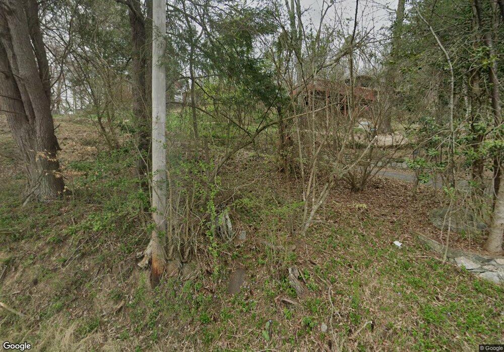
1346 Redmon Rd Marshall, NC 28753
Estimated Value: $375,000 - $458,000
Studio
--
Bath
1,504
Sq Ft
$282/Sq Ft
Est. Value
About This Home
This home is located at 1346 Redmon Rd, Marshall, NC 28753 and is currently estimated at $423,951, approximately $281 per square foot. 1346 Redmon Rd is a home located in Madison County with nearby schools including Madison Middle School.
Ownership History
Date
Name
Owned For
Owner Type
Purchase Details
Closed on
Jul 22, 2009
Sold by
Michael Thomas and Charles Wilson Gaa Irrevocable
Bought by
Wilson Joseph L and Wilson Jenny S
Current Estimated Value
Home Financials for this Owner
Home Financials are based on the most recent Mortgage that was taken out on this home.
Original Mortgage
$135,000
Outstanding Balance
$88,333
Interest Rate
5.36%
Mortgage Type
Future Advance Clause Open End Mortgage
Estimated Equity
$335,618
Purchase Details
Closed on
Dec 21, 2006
Sold by
Gaa Charles
Bought by
Gaa Chares Wilson and Chaerles Wilson Gaa Irrevocabl
Create a Home Valuation Report for This Property
The Home Valuation Report is an in-depth analysis detailing your home's value as well as a comparison with similar homes in the area
Home Values in the Area
Average Home Value in this Area
Purchase History
| Date | Buyer | Sale Price | Title Company |
|---|---|---|---|
| Wilson Joseph L | $127,500 | None Available | |
| Gaa Chares Wilson | -- | None Available |
Source: Public Records
Mortgage History
| Date | Status | Borrower | Loan Amount |
|---|---|---|---|
| Open | Wilson Joseph L | $135,000 |
Source: Public Records
Tax History Compared to Growth
Tax History
| Year | Tax Paid | Tax Assessment Tax Assessment Total Assessment is a certain percentage of the fair market value that is determined by local assessors to be the total taxable value of land and additions on the property. | Land | Improvement |
|---|---|---|---|---|
| 2024 | $1,875 | $470,719 | $67,403 | $403,316 |
| 2023 | $1,446 | $253,154 | $43,231 | $209,923 |
| 2022 | $1,446 | $253,154 | $43,231 | $209,923 |
| 2021 | $1,446 | $253,154 | $43,231 | $209,923 |
| 2020 | $1,446 | $253,154 | $43,231 | $209,923 |
| 2019 | $1,096 | $170,131 | $32,521 | $137,610 |
| 2018 | $885 | $0 | $0 | $0 |
| 2017 | $1,718 | $0 | $0 | $0 |
| 2016 | $1,718 | $0 | $0 | $0 |
| 2015 | -- | $0 | $0 | $0 |
| 2014 | -- | $170,131 | $32,521 | $137,610 |
| 2013 | -- | $175,422 | $32,521 | $142,901 |
Source: Public Records
Map
Nearby Homes
- 170 Starry Night Ln
- 999 Baileys Branch Rd Unit 3
- 200 Dry Branch Rd
- 153 Skyway Dr
- 0 Anderson Cove Rd
- 456 Rector Corner Rd
- 1126 Rector Corner Rd
- Lot 2 Lunsford Ln
- 7881 Us 25 70 Hwy
- 8033 US 25 70 Hwy
- 2033 Lower Paw Rd
- 23 Katies Rd Unit 145.95 acres
- 23 Katie's Rd
- 198 Ball Hill Place
- 55 & 119 Webb Dr
- 55 Webb Dr
- 8951 Us 25 70 Hwy
- 759 and 755 Snelson Rd
- 0 Anderson Branch Rd
- 461 Tweed Rd
