Estimated Value: $492,000 - $517,000
4
Beds
3
Baths
1,746
Sq Ft
$290/Sq Ft
Est. Value
About This Home
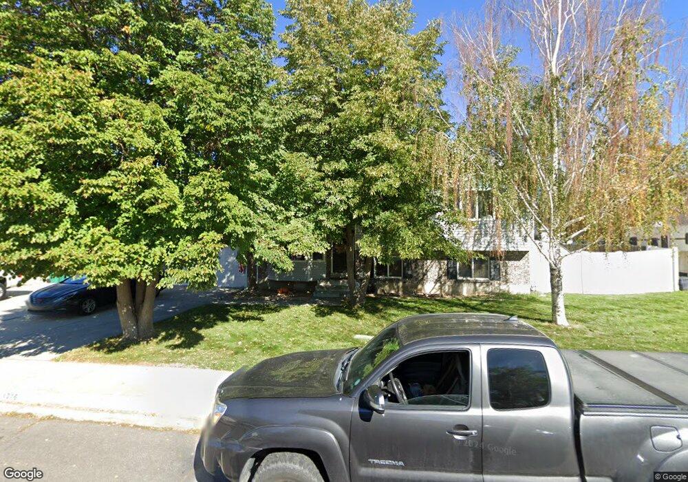
This home is located at 1346 W 1835 N, Lehi, UT 84043 and is currently estimated at $506,204, approximately $289 per square foot. 1346 W 1835 N is a home located in Utah County with nearby schools including Lehi Elementary School, Lehi Junior High School, and Lehi High School.
Ownership History
Date
Name
Owned For
Owner Type
Purchase Details
Closed on
Jan 28, 2020
Sold by
Miller Dan
Bought by
Wesemann Heidi and Colton Cook J
Current Estimated Value
Home Financials for this Owner
Home Financials are based on the most recent Mortgage that was taken out on this home.
Original Mortgage
$324,884
Interest Rate
3.3%
Mortgage Type
New Conventional
Purchase Details
Closed on
Aug 12, 2009
Sold by
Larsen M Douglas
Bought by
Miller Dan
Home Financials for this Owner
Home Financials are based on the most recent Mortgage that was taken out on this home.
Original Mortgage
$178,703
Interest Rate
5.09%
Mortgage Type
FHA
Create a Home Valuation Report for This Property
The Home Valuation Report is an in-depth analysis detailing your home's value as well as a comparison with similar homes in the area
Home Values in the Area
Average Home Value in this Area
Purchase History
| Date | Buyer | Sale Price | Title Company |
|---|---|---|---|
| Wesemann Heidi | -- | Cottonwood Title Ins Agcy In | |
| Miller Dan | -- | Cache Title Company Salt L |
Source: Public Records
Mortgage History
| Date | Status | Borrower | Loan Amount |
|---|---|---|---|
| Previous Owner | Wesemann Heidi | $324,884 | |
| Previous Owner | Miller Dan | $178,703 |
Source: Public Records
Tax History Compared to Growth
Tax History
| Year | Tax Paid | Tax Assessment Tax Assessment Total Assessment is a certain percentage of the fair market value that is determined by local assessors to be the total taxable value of land and additions on the property. | Land | Improvement |
|---|---|---|---|---|
| 2025 | $2,026 | $247,940 | $174,000 | $276,800 |
| 2024 | $2,026 | $237,105 | $0 | $0 |
| 2023 | $1,897 | $241,065 | $0 | $0 |
| 2022 | $1,906 | $234,795 | $0 | $0 |
| 2021 | $1,704 | $317,300 | $100,700 | $216,600 |
| 2020 | $1,606 | $295,600 | $93,200 | $202,400 |
| 2019 | $1,475 | $282,300 | $93,200 | $189,100 |
| 2018 | $1,397 | $252,800 | $88,400 | $164,400 |
| 2017 | $1,335 | $128,425 | $0 | $0 |
| 2016 | $1,280 | $114,235 | $0 | $0 |
| 2015 | $1,260 | $106,755 | $0 | $0 |
| 2014 | $1,266 | $106,645 | $0 | $0 |
Source: Public Records
Map
Nearby Homes
- 1272 W 1800 N
- 1249 W 1800 N
- 1332 W 1500 N
- 1610 N 1125 W
- 1011 W Mountain Way Unit 316
- 1627 W Boxwood Dr Unit 110
- 1659 W Boxwood Dr Unit 109
- 1094 W 1425 N
- 1542 N 1900 W
- 1817 W Bad Rock Cir
- 5312 N Springview Ct Unit 106
- 1027 N 3685 W Unit 248
- 2191 W Swift Fox Dr Unit 274
- 999 Empire St
- 2184 W Cape Fox Way N Unit 220
- 1060 N Canvasback Dr Unit 405
- 1089 N 3685 W Unit 253
- 500 S Center St E
- 1077 N 3685 W Unit 252
- 1672 S 70 W