1346 W Pulaski Hwy Elkton, MD 21921
Estimated Value: $369,000 - $407,000
--
Bed
2
Baths
1,568
Sq Ft
$246/Sq Ft
Est. Value
About This Home
This home is located at 1346 W Pulaski Hwy, Elkton, MD 21921 and is currently estimated at $385,247, approximately $245 per square foot. 1346 W Pulaski Hwy is a home located in Cecil County with nearby schools including North East Elementary School, North East Middle School, and North East High School.
Ownership History
Date
Name
Owned For
Owner Type
Purchase Details
Closed on
Apr 22, 2009
Sold by
Phillips William C Mary C
Bought by
Phillips Mary C and Phillips William Cooper
Current Estimated Value
Purchase Details
Closed on
Aug 1, 1988
Sold by
Dvorak Michael C and Dvorak Grayce I
Bought by
Phillips William C and Phillips Mary C
Home Financials for this Owner
Home Financials are based on the most recent Mortgage that was taken out on this home.
Original Mortgage
$60,000
Interest Rate
10.49%
Purchase Details
Closed on
Jun 13, 1983
Sold by
Montgomery Harold
Bought by
Dvorak Michael C and Dvorak Grayce I
Home Financials for this Owner
Home Financials are based on the most recent Mortgage that was taken out on this home.
Original Mortgage
$17,100
Interest Rate
12.82%
Create a Home Valuation Report for This Property
The Home Valuation Report is an in-depth analysis detailing your home's value as well as a comparison with similar homes in the area
Home Values in the Area
Average Home Value in this Area
Purchase History
| Date | Buyer | Sale Price | Title Company |
|---|---|---|---|
| Phillips Mary C | -- | -- | |
| Phillips William C | $135,000 | -- | |
| Dvorak Michael C | $19,000 | -- |
Source: Public Records
Mortgage History
| Date | Status | Borrower | Loan Amount |
|---|---|---|---|
| Previous Owner | Phillips William C | $60,000 | |
| Previous Owner | Dvorak Michael C | $17,100 |
Source: Public Records
Tax History Compared to Growth
Tax History
| Year | Tax Paid | Tax Assessment Tax Assessment Total Assessment is a certain percentage of the fair market value that is determined by local assessors to be the total taxable value of land and additions on the property. | Land | Improvement |
|---|---|---|---|---|
| 2025 | $3,042 | $291,367 | $0 | $0 |
| 2024 | $2,581 | $271,933 | $0 | $0 |
| 2023 | $2,149 | $252,500 | $119,600 | $132,900 |
| 2022 | $2,868 | $249,267 | $0 | $0 |
| 2021 | $2,810 | $246,033 | $0 | $0 |
| 2020 | $2,860 | $242,800 | $119,600 | $123,200 |
| 2019 | $2,813 | $238,667 | $0 | $0 |
| 2018 | $2,765 | $234,533 | $0 | $0 |
| 2017 | $2,717 | $230,400 | $0 | $0 |
| 2016 | $2,525 | $226,967 | $0 | $0 |
| 2015 | $2,525 | $223,533 | $0 | $0 |
| 2014 | $2,673 | $220,100 | $0 | $0 |
Source: Public Records
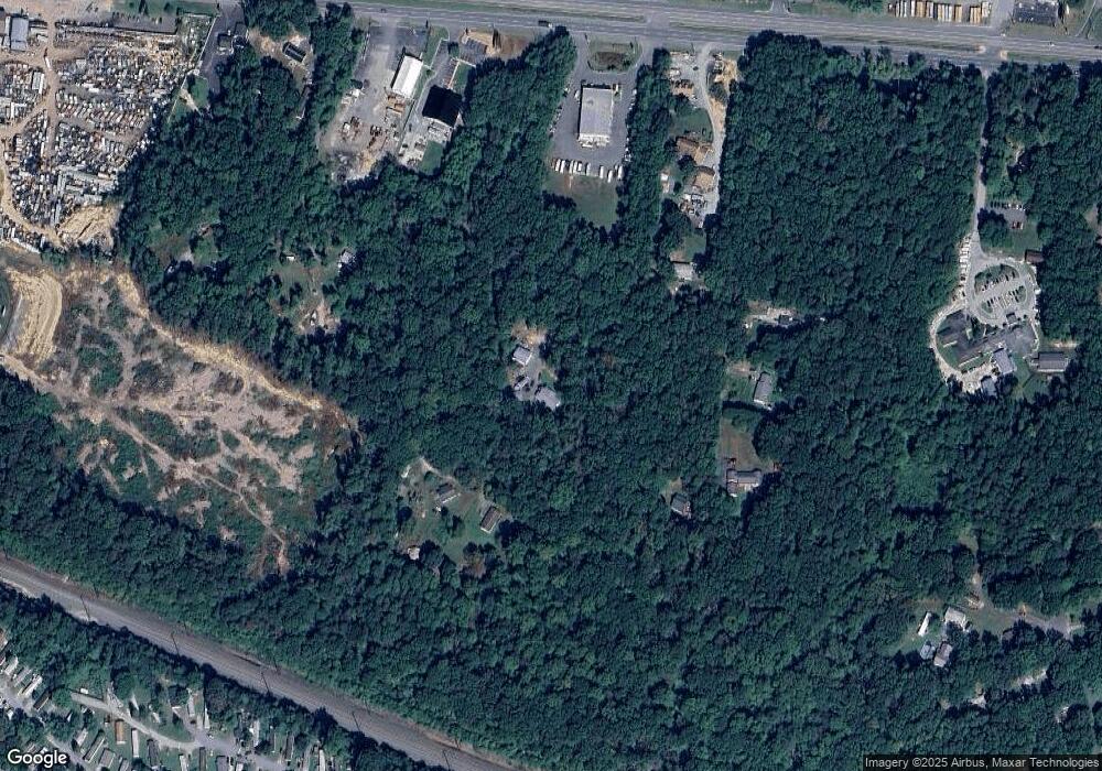
Map
Nearby Homes
- 10 Saddler Ave
- 896 E Old Philadelphia Rd
- 25 Teatree Ln
- 7 Olive Way
- 47 Olive Way
- 33 Juniper Cir
- 104 Magnolia Dr
- 117 Magnolia Dr
- 27 Juniper Cir
- 11 Sugarberry Dr
- 3 Goldspire Dr
- 21 Goldspire Dr
- 206 Magnolia Dr
- 12 Tern Ct
- 153 Nicholas Dr
- 13 Forest Dr
- 0 Mallory Way Unit MDCC2003990
- 0 Mallory Way Unit MDCC169342
- 62 Rehill Ave
- 61 Saint Michaels Ct
- 1356 W Pulaski Hwy
- 1360 W Pulaski Hwy
- 1340 W Pulaski Hwy
- 1336 W Pulaski Hwy
- 40 Ruby Ln
- 50 Ruby Ln
- 1436 W Pulaski Hwy
- 30 Ruby Ln
- 1300 W Pulaski Hwy
- 1394 W Pulaski Hwy
- 1394 Pulaski Hwy
- 1414 W Pulaski Hwy
- 1392 W Pulaski Hwy
- 1440 W Pulaski Hwy
- 1362 W Pulaski Hwy
- 1325 W Pulaski Hwy
- 15 Hamilton Ln
- 15 Hamilton Ln Unit PULASKI 3
- 15 Hamilton Ln Unit PULASKI 1
- 1357 W Pulaski Hwy