13460 River Rd Greensboro, MD 21639
Estimated Value: $310,000 - $655,481
--
Bed
1
Bath
1,896
Sq Ft
$233/Sq Ft
Est. Value
About This Home
This home is located at 13460 River Rd, Greensboro, MD 21639 and is currently estimated at $442,494, approximately $233 per square foot. 13460 River Rd is a home located in Caroline County with nearby schools including Ridgely Elementary School, Lockerman Middle School, and North Caroline High School.
Ownership History
Date
Name
Owned For
Owner Type
Purchase Details
Closed on
Nov 16, 2012
Sold by
Cherry Cherry C and Cherry Catherine C
Bought by
Cherry Myron and Glover Martha C
Current Estimated Value
Purchase Details
Closed on
Dec 5, 1978
Sold by
Cherry Cherry C and Cherry Catherine F
Bought by
Cherry Catherine F
Home Financials for this Owner
Home Financials are based on the most recent Mortgage that was taken out on this home.
Original Mortgage
$38,000
Interest Rate
10.3%
Create a Home Valuation Report for This Property
The Home Valuation Report is an in-depth analysis detailing your home's value as well as a comparison with similar homes in the area
Home Values in the Area
Average Home Value in this Area
Purchase History
| Date | Buyer | Sale Price | Title Company |
|---|---|---|---|
| Cherry Myron | -- | None Available | |
| Cherry Catherine F | $38,000 | -- |
Source: Public Records
Mortgage History
| Date | Status | Borrower | Loan Amount |
|---|---|---|---|
| Closed | Cherry Catherine F | $38,000 |
Source: Public Records
Tax History Compared to Growth
Tax History
| Year | Tax Paid | Tax Assessment Tax Assessment Total Assessment is a certain percentage of the fair market value that is determined by local assessors to be the total taxable value of land and additions on the property. | Land | Improvement |
|---|---|---|---|---|
| 2025 | $2,288 | $217,467 | $0 | $0 |
| 2024 | $2,288 | $204,000 | $102,600 | $101,400 |
| 2023 | $2,164 | $192,633 | $0 | $0 |
| 2022 | $2,039 | $181,267 | $0 | $0 |
| 2021 | $1,915 | $169,900 | $87,600 | $82,300 |
| 2020 | $1,915 | $169,900 | $87,600 | $82,300 |
| 2019 | $1,915 | $169,900 | $87,600 | $82,300 |
| 2018 | $1,938 | $172,000 | $87,600 | $84,400 |
| 2017 | $1,938 | $172,000 | $0 | $0 |
| 2016 | -- | $172,000 | $0 | $0 |
| 2015 | $2,271 | $173,800 | $0 | $0 |
| 2014 | $2,271 | $173,800 | $0 | $0 |
Source: Public Records
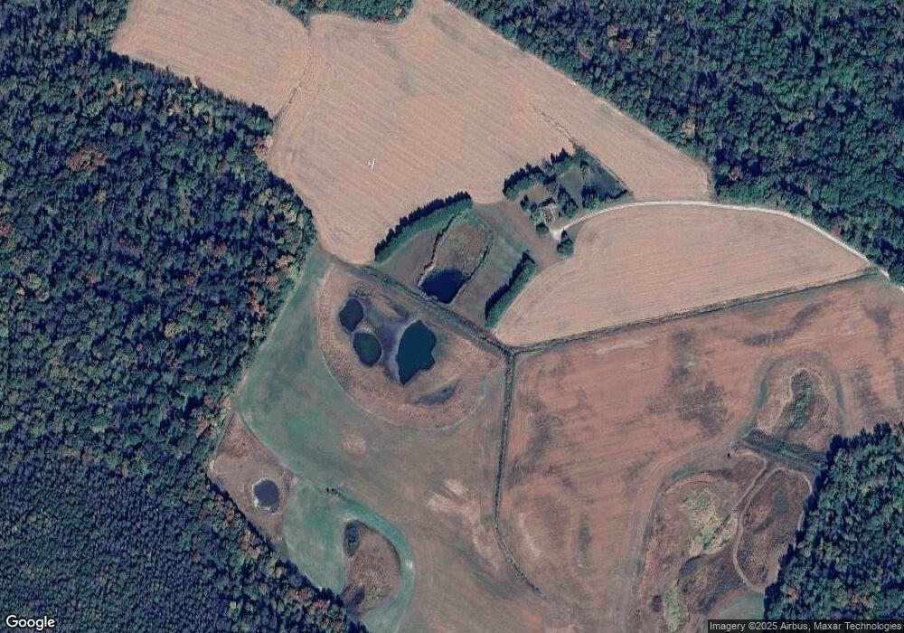
Map
Nearby Homes
- 13364 River Rd
- 707 W Sunset Ave
- 605 W Sunset Ave
- 603 W Sunset Ave
- 517 W Sunset Ave
- 131 Hobbs St
- 102 Roe St
- 511 Bernard Ave
- 113 Parkland Rd
- 121 Parkland Rd
- 125 Parkland Rd
- 130 Walnut St
- 119 Parkland Rd
- 123 Parkland Rd
- 120 Parkland Rd
- 124 Parkland Rd
- 402 LOT 2 W Sunset Ave
- SULLIVAN Plan at Kinnamon Meadows
- PERRY Plan at Kinnamon Meadows
- CURTIS Plan at Kinnamon Meadows
- 13542 River Rd
- 13425 River Rd
- 13440 River Rd
- 13594 River Rd
- 13391 River Rd
- 13381 River Rd
- 13264 River Rd
- 24707 Harrington Rd
- 13585 River Rd
- 24205 Carrlyn Dr
- 13306 River Rd
- 24200 Carrlyn Dr
- 24199 Carrlyn Dr
- 13329 River Rd
- 0 Harrington Rd
- 13309 River Rd
- 24725 Harrington Rd
- 24190 Carrlyn Dr
- 24169 Carrlyn Dr
- 13785 River Rd